Metro Weather Inc. Services
Like us, follow us, link to us, contact us!
  • Home
    • Daily Weather Discussion
  • Weather Prepared for You
    • Film and TV Production
    • Radio & Television
    • Government and Industry
    • Forensic Services >
      • Weather Record Request Form
    • Metro Morning Monitor
  • About Metro Weather
    • Senior Staff
  • Your Weather Images
  • Contact Us

Wet from Mid Atlantic on south.....

8/16/2013

0 Comments

 
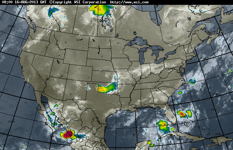
Looks like the stalled front will give residents from Delaware and MAryland on south to Florida and Gulf Coast some very wet weather this weekend. New England on west....will be just fine. Satellite pix this a.m. verifies all of that and more.
Picture
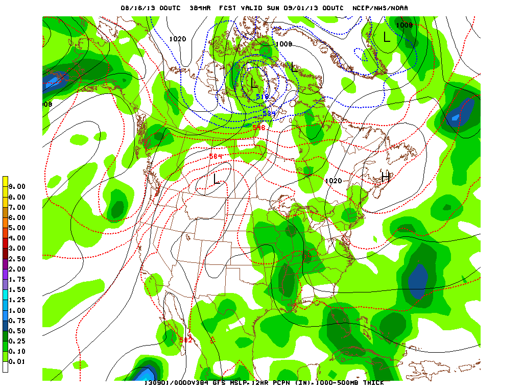
Long range models for Labor Day Weekend...indicate heat out West - Rockies and Plains...while more tepid weather continues in NE.
Picture
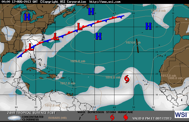
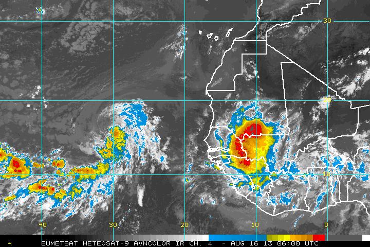
Maps below show 1 - expected systems in Atlantic by this evening. Erin with 40 mph winds may juice up a bit...but Hurricane Center expects it to weaken as it gets into Central Atlantic.  2- Sat. pix of Africa shows a vigorous wave ready to hit the coast...and that may need some serious watching if it holds together.  For now...that's closes out another week.
Have a nice weekend...be safe...later.
Picture
Picture
0 Comments


Leave a Reply.

    Genesis of a Tornado
    We'll have daily weather discussions, talking about major systems on the horizon along with anything noteworthy that pops up on our radar.

    Pat Pagano,
    Mike Merin

    Follow us on Twitter and like us on Facebook to get updates whenever we post a new entry!

    RSS Feed

Powered by Create your own unique website with customizable templates.