
Satellite with radar overlapping shows system no. 1 moving through Great Lakes and into East Saturday. System # 2 in Rockies will head east and not reach the east coast until Tuesday. Meanwhile...rough storms again in Texas.
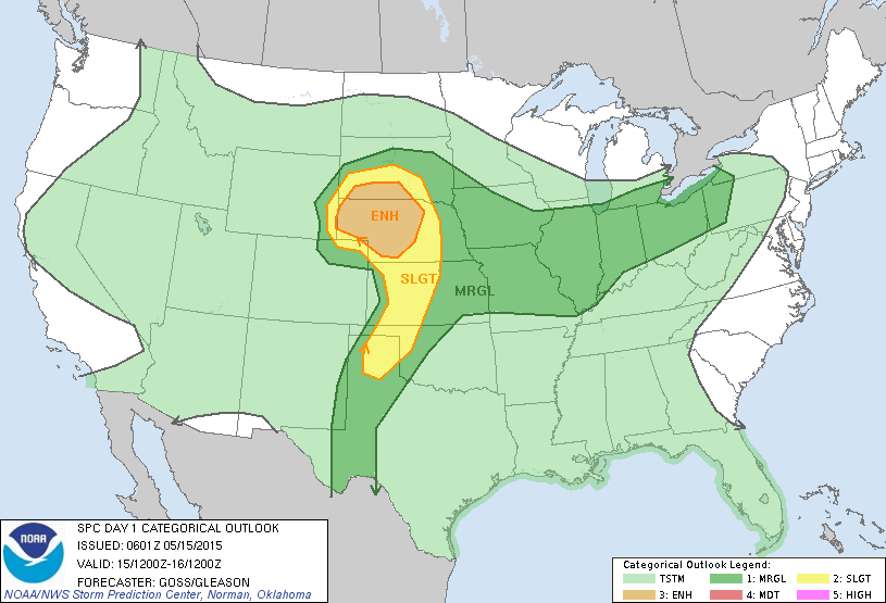
Showers and storms could be severe today from Ohio Valley to Plains and Texas. Best possibility outlined in yellow and brown.
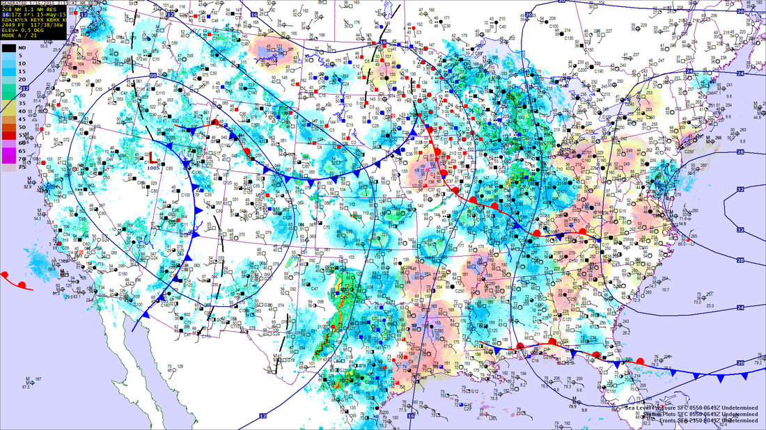
Early morning weather map shows the 2 systems we described above.
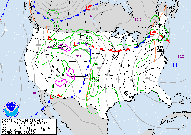
Map above is for Saturday. System #1 moving across Northeast...system # 2 into The Plains with lots of wet weather there.
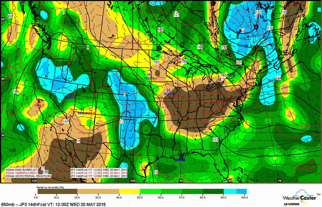
This is an upper air map at 5,000ft for next Tuesday. Tan and brown mean dry. Blue is wet.....so you can see that the overall pattern not changing much into early next week.
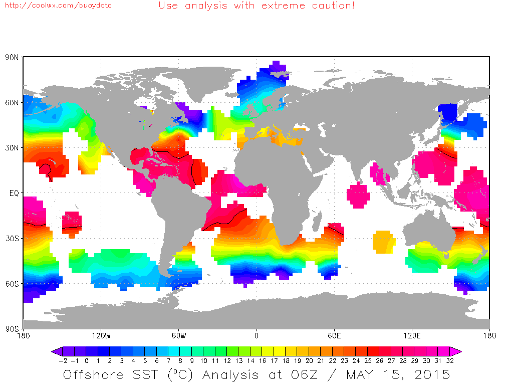
Map above shows water temperatures. Note that very warm temperatures are evident off Africa and across the Atlantic. This could make for a very interesting tropical Atlantic season. Have a safe weekend.

 RSS Feed
