Satellite picture below....shows a giant pin-wheel in South Central
Canada.....the gear to transport one low after another down from
Alaska into The U.S. followed by chunks of arctic air. This pattern will stay thru next week and then the final week of January will be the
Grand Finale of the month when winter shows it's ugly side again.
Canada.....the gear to transport one low after another down from
Alaska into The U.S. followed by chunks of arctic air. This pattern will stay thru next week and then the final week of January will be the
Grand Finale of the month when winter shows it's ugly side again.
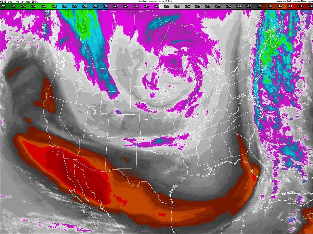
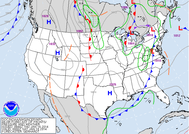
By the way...the deep reddish-orange above is dry air. Below...is a map showing expected features by Saturday. Front in east will cause some snowshowers...otherwise next clipper low getting ready to come out of
Canada. That will be off the east coast Sunday with some flurries.
Canada. That will be off the east coast Sunday with some flurries.
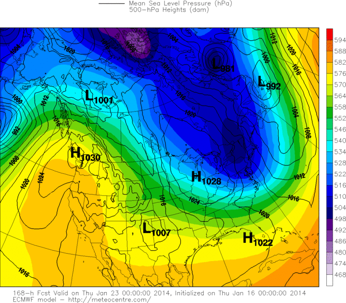
Over to The European Model....one of which has been consistent in showing very cold air for Eastern Half of the Nation by mid next week. Remember...the darker the "blues" the colder it is. I still feel that this will be just the tip of the iceberg and a more persistent cold wintry pattern will close out the month. Thinking of a winter vacation...I would try to get away by 25th (Jan). Later.

 RSS Feed
