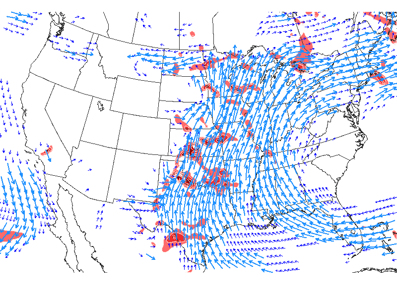
With ridge anchored in western Atlantic...changes here will be slow...but there will be changes by Monday. At that time cold front will approach and all parameters suggest a good shot of heavy rain and convection. Map below shows the story quite simply.
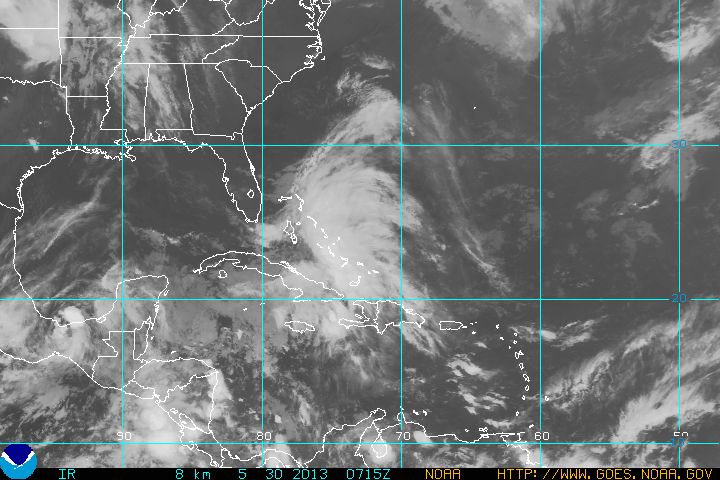
Still see an inverted trof off East coast next week....so June may be busting out all over in more ways than one. Satellite pictures already show semi-tropical wave off Fla....it will bring several inches of rain to So. Fla into weekend. This system will reform and likely head into Gulf and I think it will become Andrea. My long range progs indicated a possible development...so why not go with it for now. Canadian most aggressive...taking this "thing" up coast to off Va.
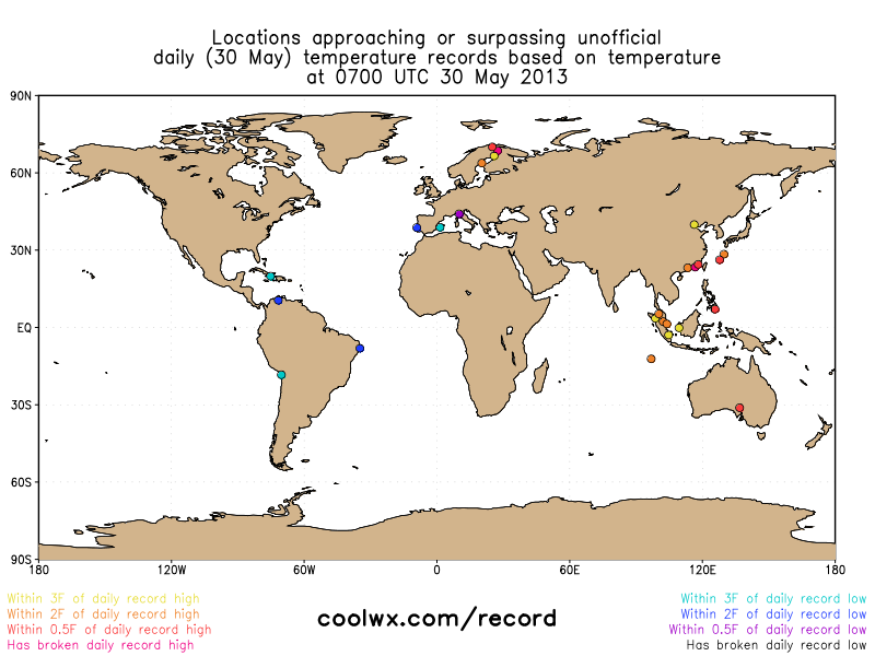
Don't see much happening until Monday when front approaches and then later next week. Of interest, below...you will see a map that shows where record highs and lows have been established across the Globe.
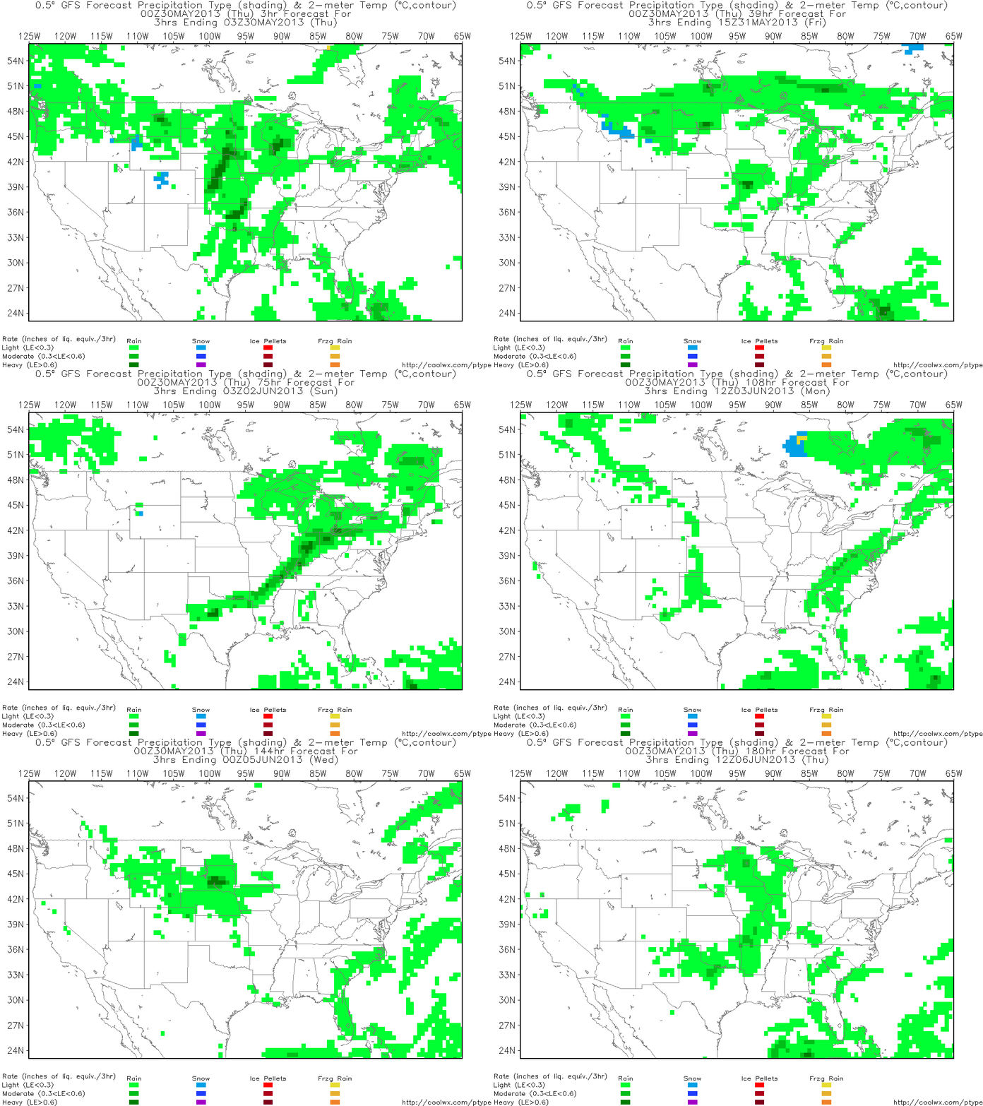
Finally...the above map shows The GFS precipitation tracker....which clearly shows the cold front approaching Monday....thereafter you can see precip stalling over the southeast. We'll follow it next week. Later.
-PP
-PP


 RSS Feed
