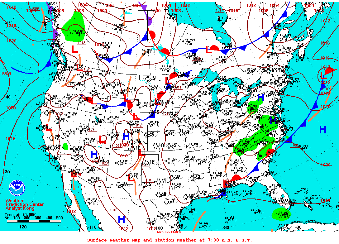
Weather map shows cold front pushing thru the upper Midwest...and it will uplift warm and humid air only to be followed by another mass of comfortable weather spreading east by Friday. Weekend looks good in The East...but sizzling again in Plains.
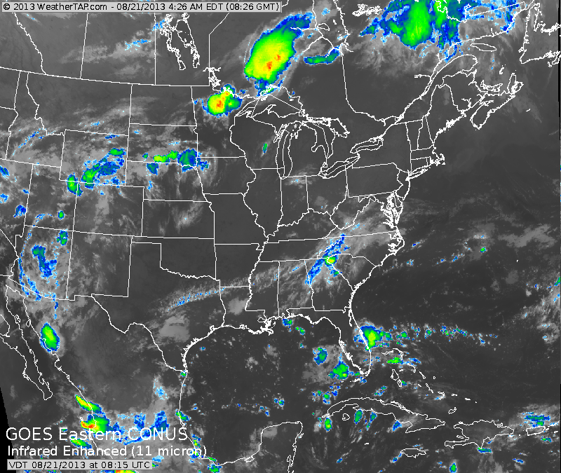
Satellite picture clearly shows showers and thunderstorms with the cold front from Minnesota into The Plains. Aside from that...much of the Nation...quiet.
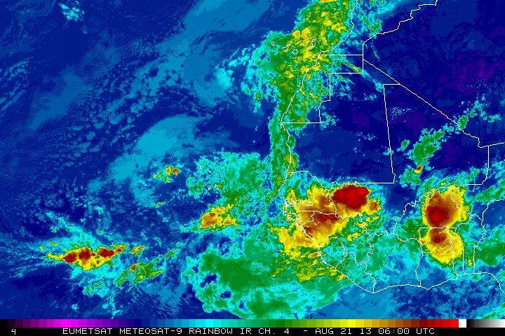
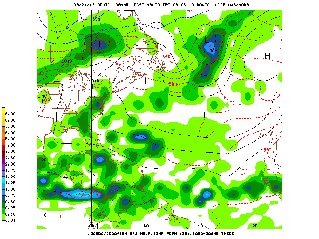
African satellite this morning shows things could be getting more active. We have seen intense areas like this last week...but when they reach the Atlantic...they fall apart...so we will watch it. The GFS model today...does not show the "busy" Atlantic that it did yesterday for early
Sept. Odds favor increased tropical activity by Sept. 7-8th. For now..go slow..later.
Sept. Odds favor increased tropical activity by Sept. 7-8th. For now..go slow..later.

 RSS Feed
