The cool dry air over the Ne moving out...replaced by more humid weather and times of showers and thunderstorms especially end of week. Pattern gets difficult this weekend. Front stalls...waiting for a 2nd front to help it out...but in the meantime...waves will form on front and may continue to cause unsettled weather thru weekend in Mid Atlantic.
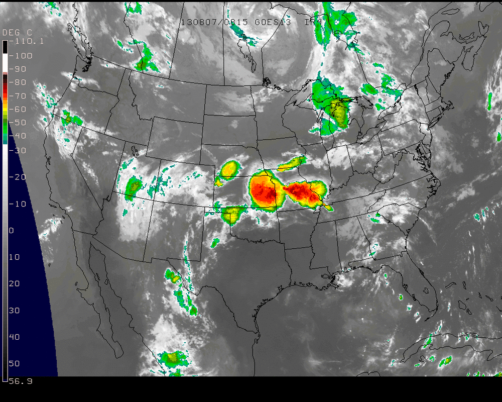
A look at the satellite picture - doesn't look any different from yesterday.
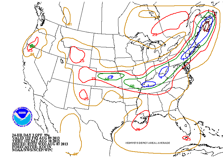
Convection in mid section will move east thru end of week. The following map is a prediction of rainfall by Friday.
A look at the satellite picture - doesn't look any different from yesterday.
Convection in mid section will move east thru end of week. The following map is a prediction of rainfall by Friday.
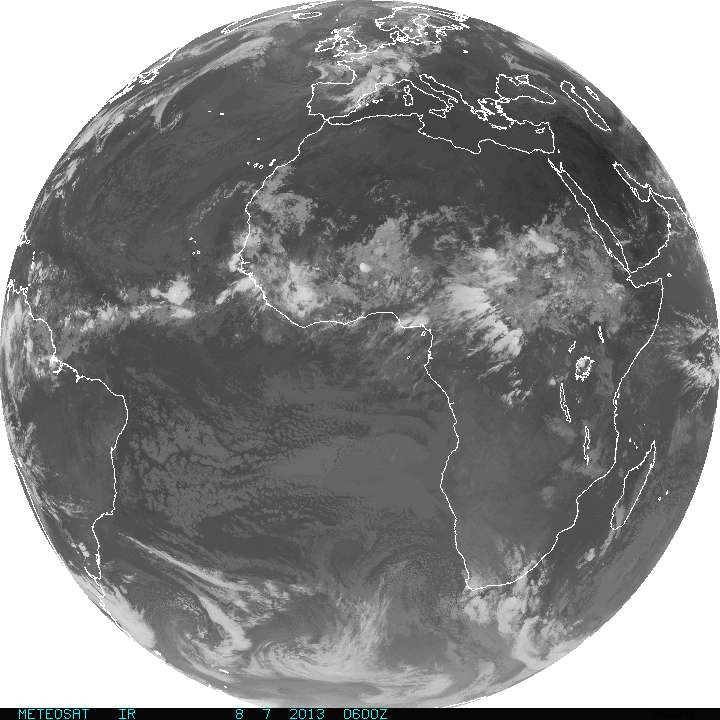
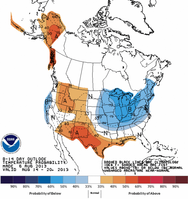
Global satellite view shows a very weak ITCZ zone off Africa....and dust and dry weather is probably keeping things quiet there....for now. Lastly...outlook for temperatures into Aug. 20th....shows the Eastern half of the Nation still below normal. It's ok to see that now...but you don't want to see that in February. Later.

 RSS Feed
