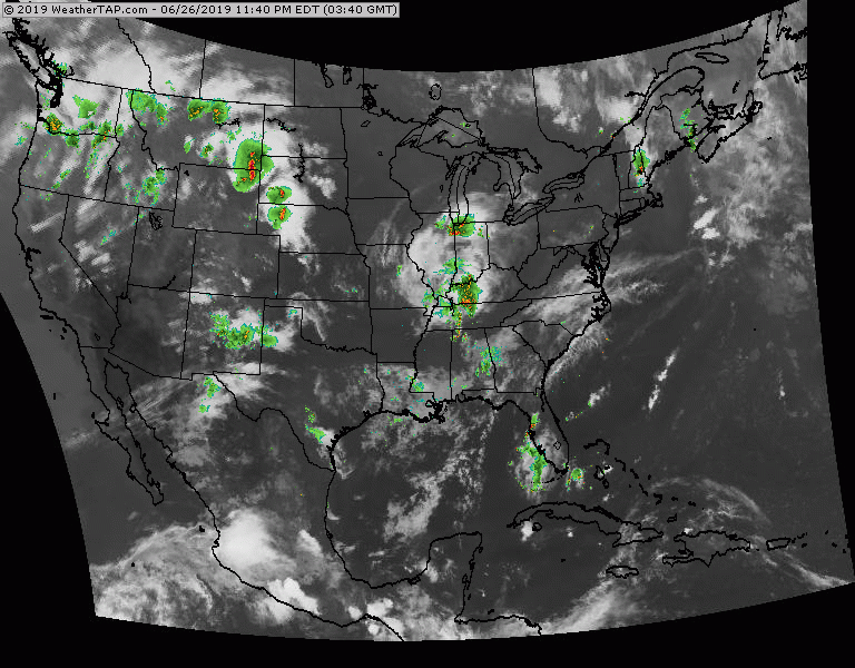
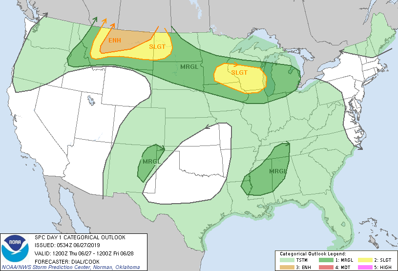
Radar + satellite show areas of storms in Northwest...Dakotas...N.Mexico...Ohio Valley and Southeast. Typical summer pattern through weekend. Below- risk of severe weather today in dark green and yellow.
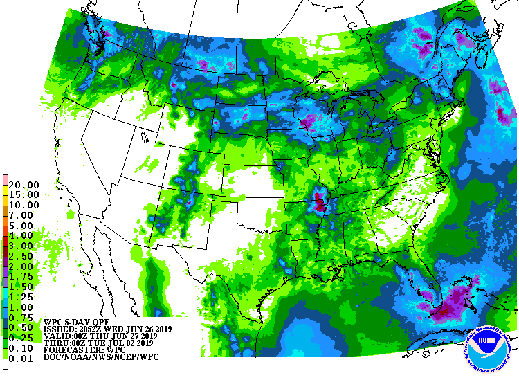
Following - animated maps - rainfall into Monday.
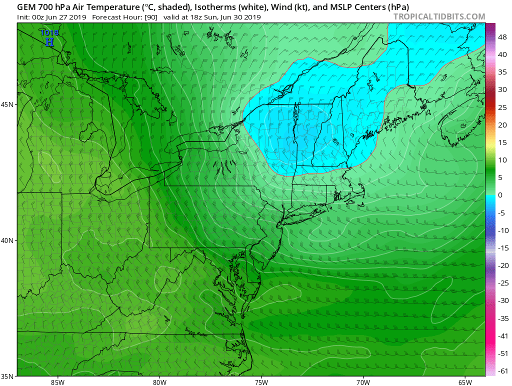
below- map showing upper air temps and wind on Sunday. Blue denotes cold air aloft and this will be responsible for clouds and showers and
possible thunderstorms over New England...some of which could drift south to affect coastal areas.
possible thunderstorms over New England...some of which could drift south to affect coastal areas.
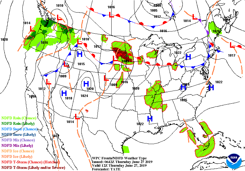
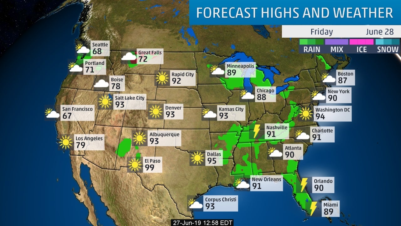
Lastly - snapshot weather for Friday. Be safe.

 RSS Feed
