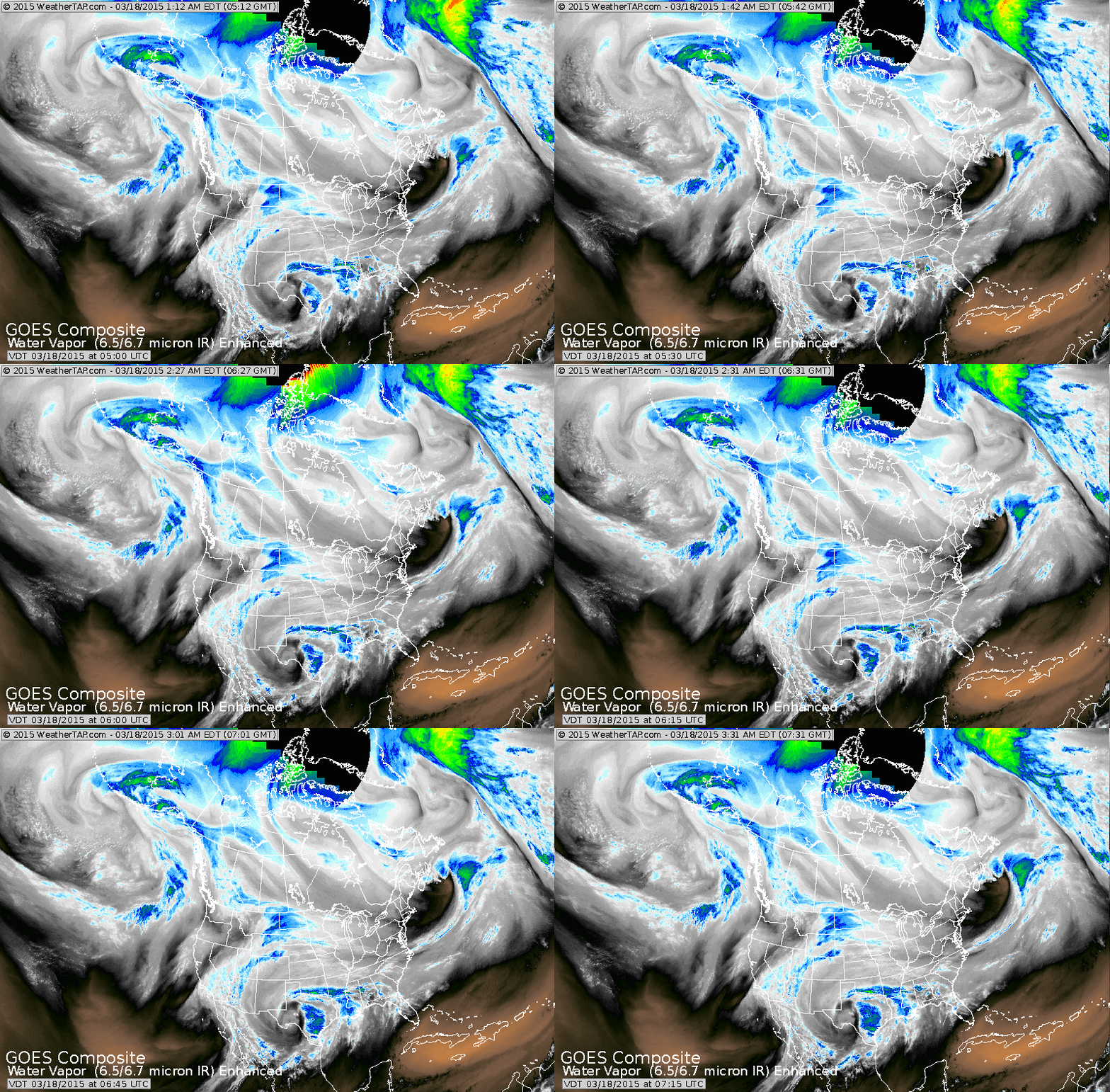
You need not be a scientist to see a storm swirling in Texas. This system will make it to mid Atlantic coast Friday and likely bring snow a/o wintry mix to Mid Atlantic and Northeast. Several inches are likely especially in the higher elevations but even the coast will likely get white. All of this as Spring arrives at 6:45pm Friday.
Morning temperatures show how things have cooled down...and that's where trouble comes in with the above mentioned storm.
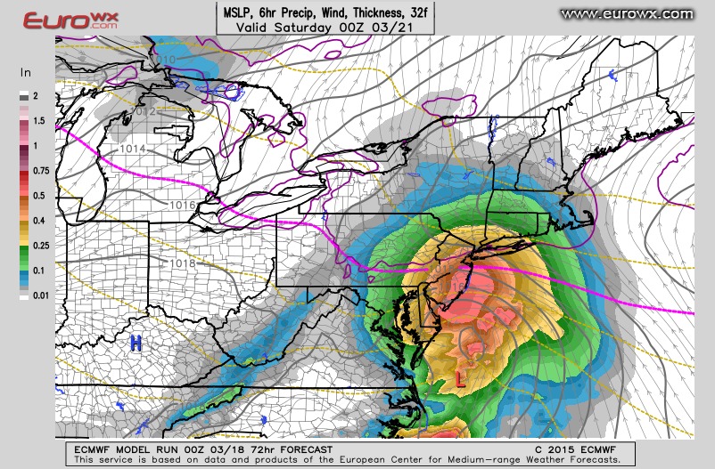
This is The Euro's prediction for Friday evening. You can see the red "L" off Virginia. Moderate precipitation falling to the north and to the north of the pink line it is snow.
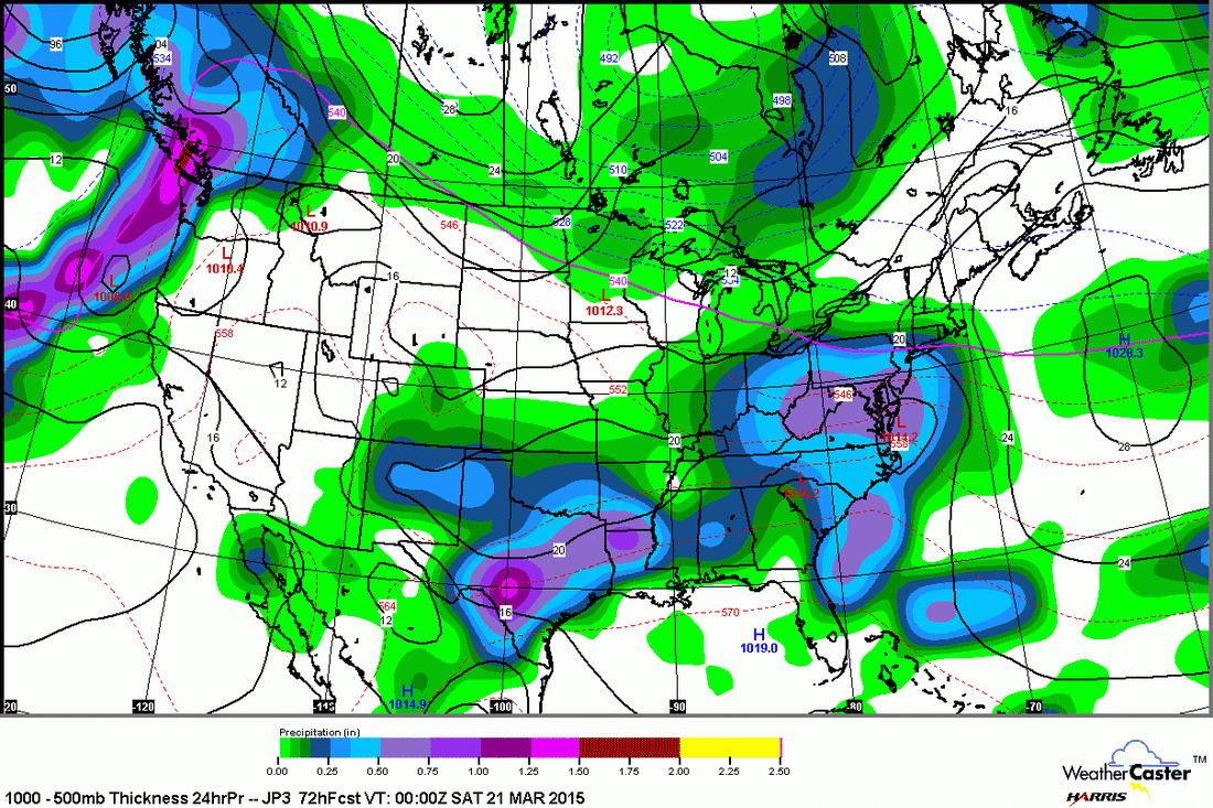
This is the Japan Model for same time as Euro...and it's placement for the low..almost exactly the same.
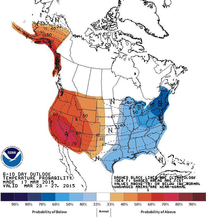
Above 2 maps show how temperatures will average from March 23 to March 31st......looks just like this past winter.
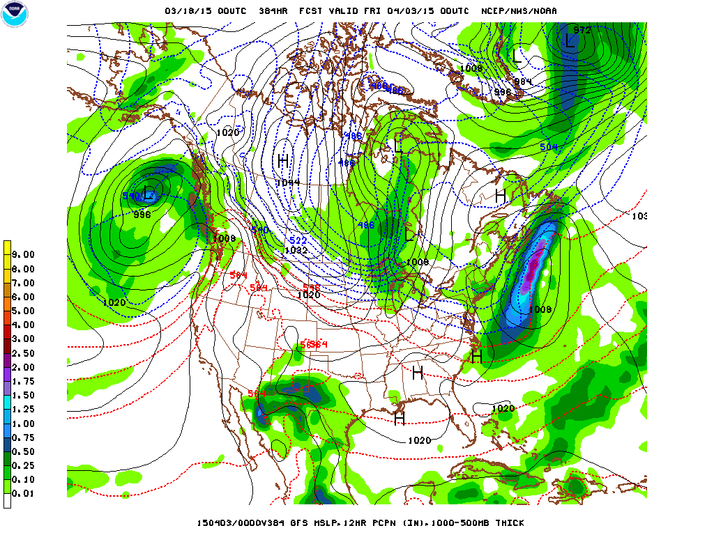
Above...GFS - for beginning of April....far out...but it has been good on trends and this trend is scary. Notice the
"H" in Northwest Canada. That's arctic air. To most of you the dashed blue lines mean nothing...but they are called "thickness lines" and represent the temperature of the air.
The closer these lines the more significant cold or hot....in this case...it's cold. It only seems likely that this air mass will find it's way into The U.S. early April. For now...stay safe .



 RSS Feed
