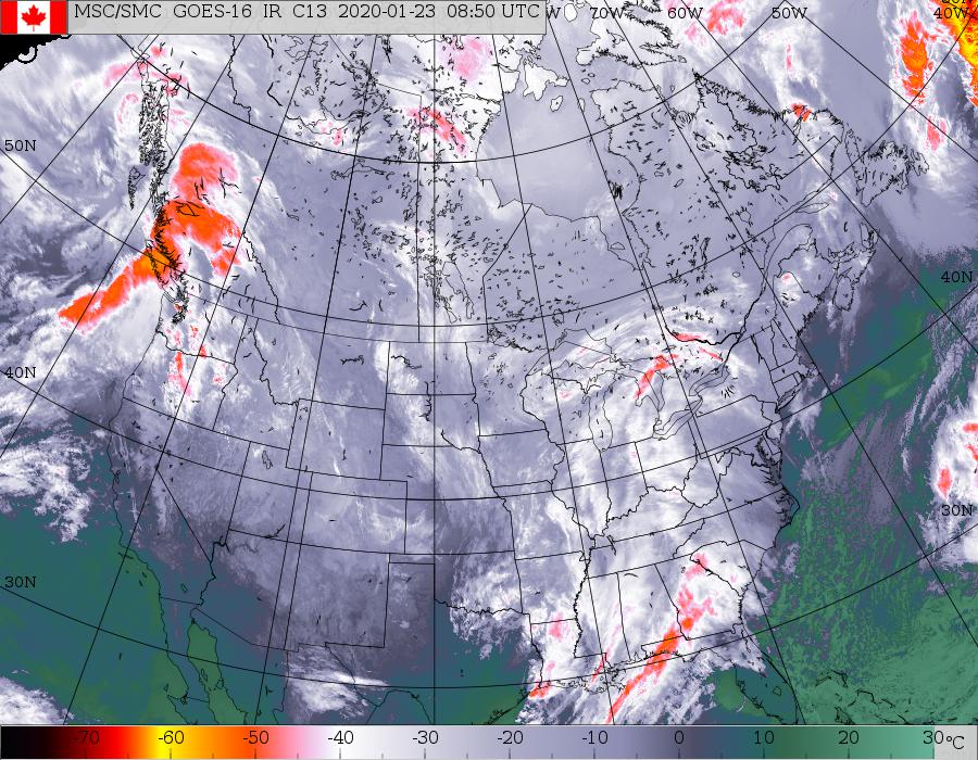
Satellite picture above shows clouds from Great Lakes and south. Most of this is rain...with snow confined to near Great Lakes. This will push east and cover the east coast this weekend. Below - animated maps...snowfall and rainfall projected thru Monday.


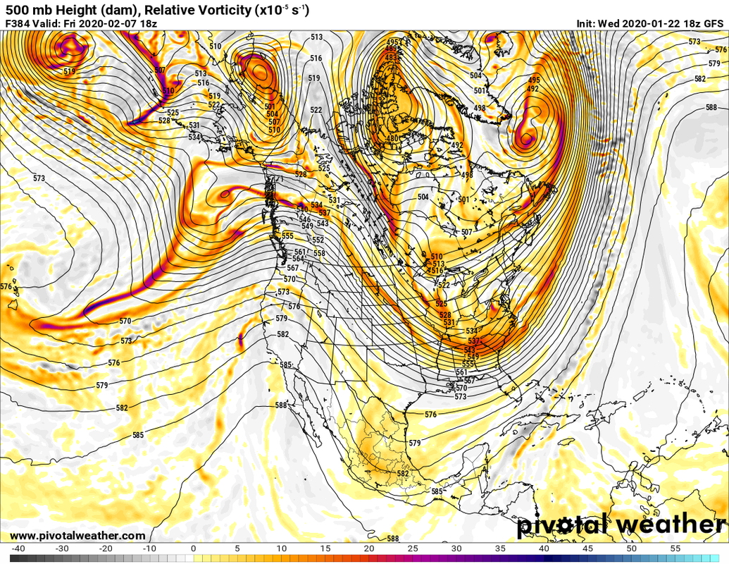
Below - a look at The GFS model prediction for the 500 Mb - upper air for the first week of February. Such a pattern will mean arctic air flooding the Nation and stormy weather for The Eastern Third.
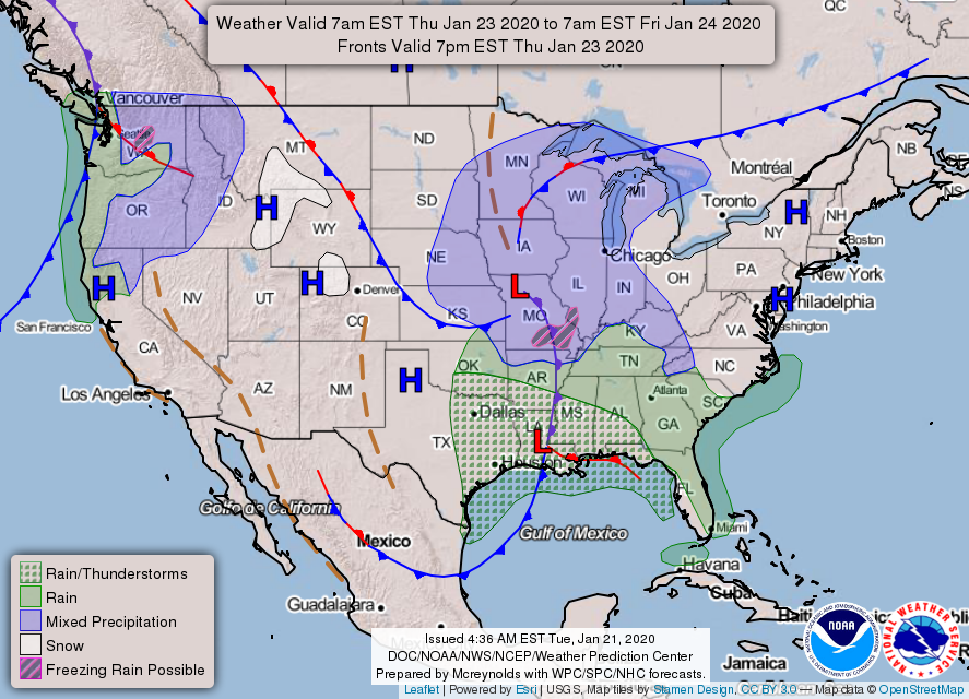
Below - snapshot weather for your Friday. Be safe.

 RSS Feed
