Chances are if you're east of the Mississippi River, you are waking up to a crystal clear blue sky and air temperatures reminiscent of a morning in early May (with the exception being the Great Lakes region today) as depicted in the Infrared satellite still image below...
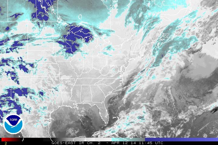
Infrared satellite - 4-12-14 11:45 UTC
The upper level front that moved through last night provided a few sprinkles to the region. That system has moved on out bringing the atmosphere into a mainly zonal flow (West to east flow) for the country. This can be seen below in the 500 mb still image from 8 AM ET, featuring heights and vorticity.
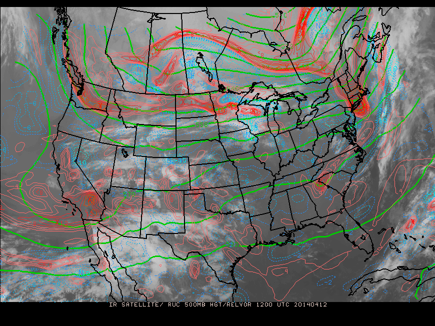
500 mb IR satellite + heights/vorticity - 1200 UTC
Sunday, High pressure in the east will shift off the coast. Couple this with a strong low pressure system building into the Midwest and the air will be much warmer (albeit more humid as well). Coastal areas will be cooler than inland areas but overall, it will a breezy and sunny day on Sunday along the East
The Midwest will not be as lucky though. The low pressure building from the southwest will create a deep and potent system likely to bring strong to severe weather from Texas up northeast into Illinois and surrounding regions... April is a very strong month for Tornadoes and there will not be any surprises if some touch down on Sunday...
- JL

 RSS Feed
