Most areas of the country are experiencing beautiful sunshine on this Sunday as the visible imagery shows below.
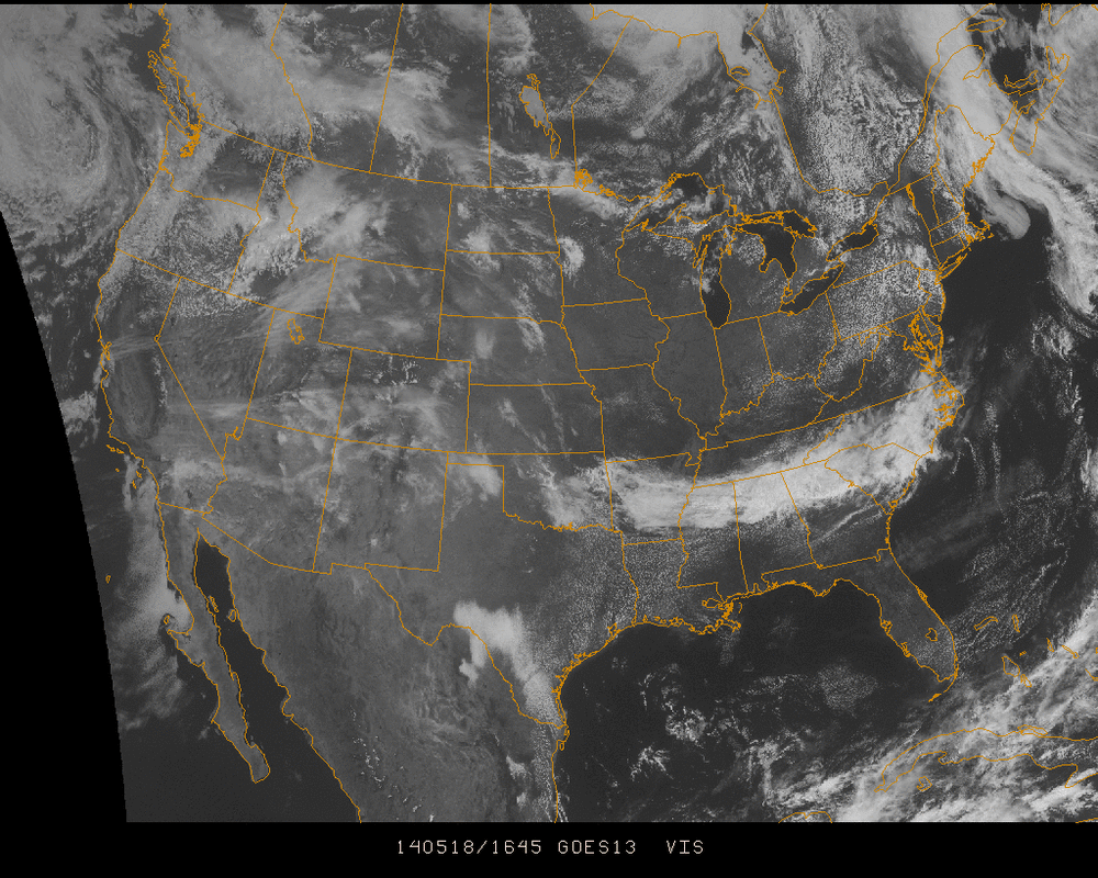
With the exception of a weak stationary front traversing eastward through the the southeast, there's a lot of stable air in the atmosphere over the country today. High pressure remains in control for most regions in the Eastern US and plenty more sunshine is expected to follow as the work week starts up... Conditions will change though into the middle of the week...
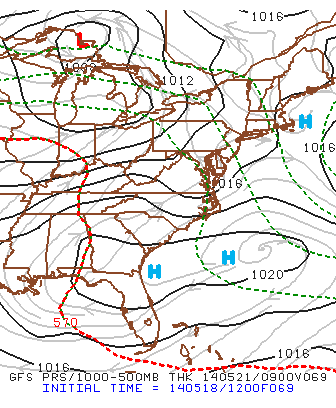
The above image shows the gfs model representation of surface pressure early Wednesday morning... High pressure has been pushed to the south and low pressure will enter through the Great Lakes providing a few days of scattered precipitation to the Northeast as we enter Memorial Day weekend.
Temperatures look to remain close to seasonable into the holiday weekend as high pressure will follow the rainy end to the work week, but we can't completely rule out a few showers along the coastline for the weekend just yet.
More details will follow in the coming days. Enjoy you Sunday!
- JL
Temperatures look to remain close to seasonable into the holiday weekend as high pressure will follow the rainy end to the work week, but we can't completely rule out a few showers along the coastline for the weekend just yet.
More details will follow in the coming days. Enjoy you Sunday!
- JL

 RSS Feed
