Metro Weather Inc. Services
Like us, follow us, link to us, contact us!
  • Home
    • Daily Weather Discussion
  • Weather Prepared for You
    • Film and TV Production
    • Radio & Television
    • Government and Industry
    • Forensic Services >
      • Weather Record Request Form
    • Metro Morning Monitor
  • About Metro Weather
    • Senior Staff
  • Your Weather Images
  • Contact Us

Summerlike Again....

8/25/2016

0 Comments

 
Picture
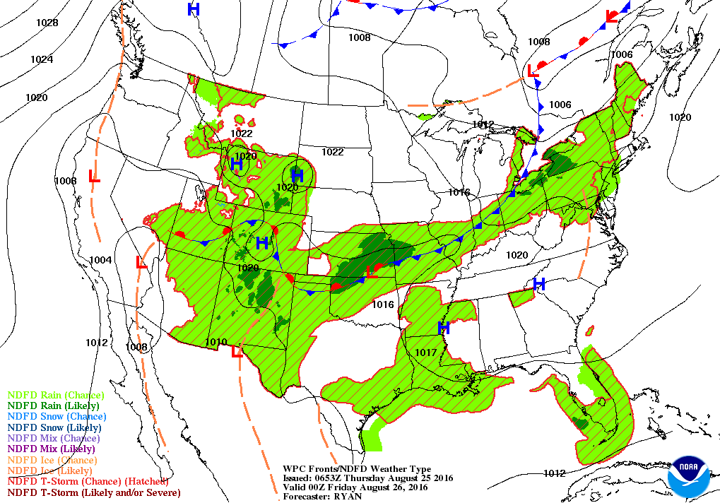
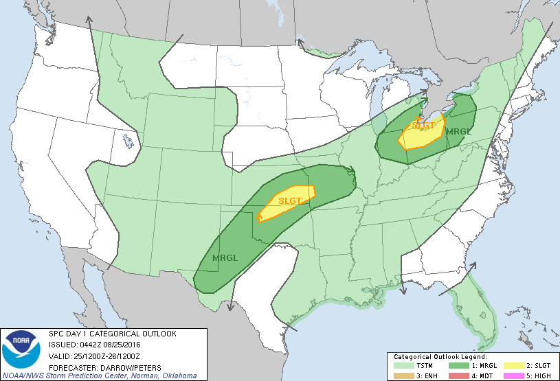
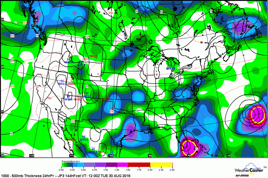
​Map for this evening showing cold front moving out of Great Lakes. Some showers and storms ahead of it. Below...risk of severe weather today.....dark green and yellow.
Picture
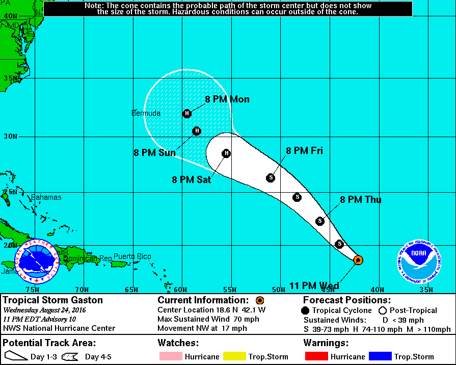
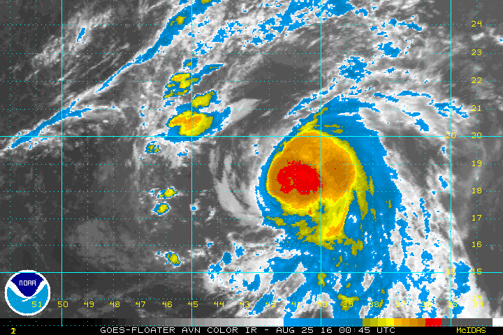
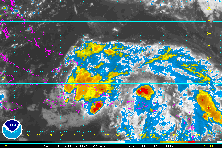
Below - track of Gaston...likely to become a hurricane..now with 70 mph winds. Even though out in Atlantic...he needs to be watched. Satellite picture of Gaston under track.
Picture
Picture
Tropical system north of Puerto Rico also needs to be watched. System could affect Bahamas and Florida...but even more so...will be nothing but a headache for Gulf Coast and SE'n states. Below...track.....satellite....
Picture
Picture
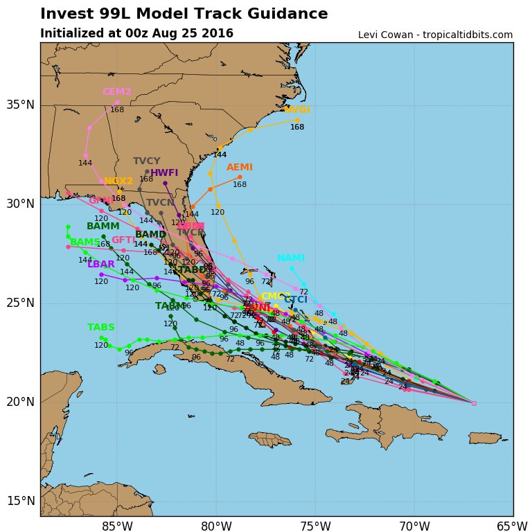
Below...Japan Model take system from Bahamas directly to south Florida next Monday.  We will watch it.  Be safe.
Picture
0 Comments


Leave a Reply.

    Genesis of a Tornado
    We'll have daily weather discussions, talking about major systems on the horizon along with anything noteworthy that pops up on our radar.

    Pat Pagano,
    Mike Merin

    Follow us on Twitter and like us on Facebook to get updates whenever we post a new entry!

    RSS Feed

Powered by Create your own unique website with customizable templates.