
Satellite - radar shows a front from Great Lakes to Central Plains. This front will be draped from Northeast to Plains through July 4th. It will be the focus for showers and thunderstorms especially to it's south. Below..today's severe risk of severe weather - dark green and yellow.
Above - current surface map. Below - weather map in motion for next couple.
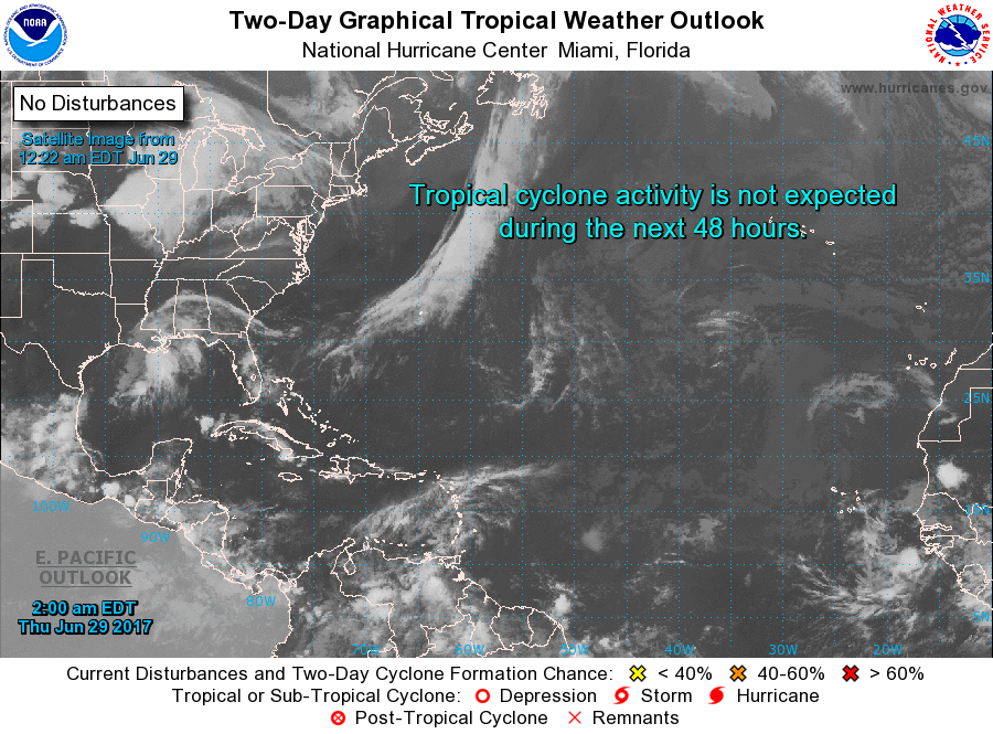
Current satellite of Atlantic basin. Although quiet...system off African coast needs to be watched but many days away from The U.S. Be safe.

 RSS Feed
