
Hemispheric satellite shows moisture in Gulf Coastal Area which may take on tropical formation...but even if it does not..that moisture heads north and it will be sticky-soupy into weekend for East.
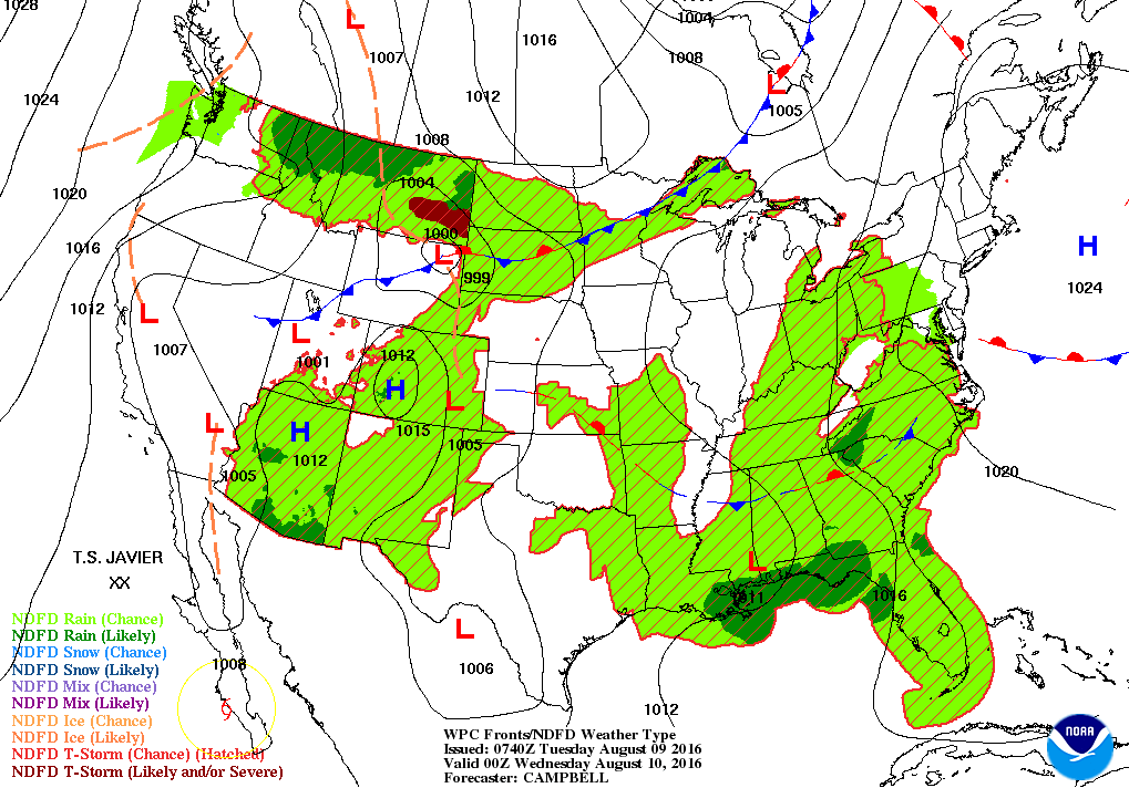
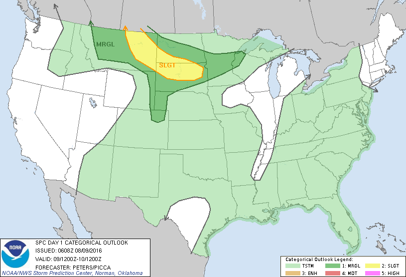
Map for this evening shows most of the Nation under an August air mass with thunderstorms. Only cooler air - Northern -tier. Below...threat of severe weather today in dark green and yellow.
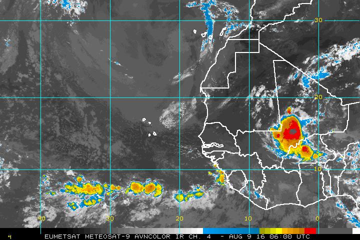
Below...satellite picture off The African Coast. Quiet now...but enhanced area over Africa could be something to watch when reaching the Atlantic.
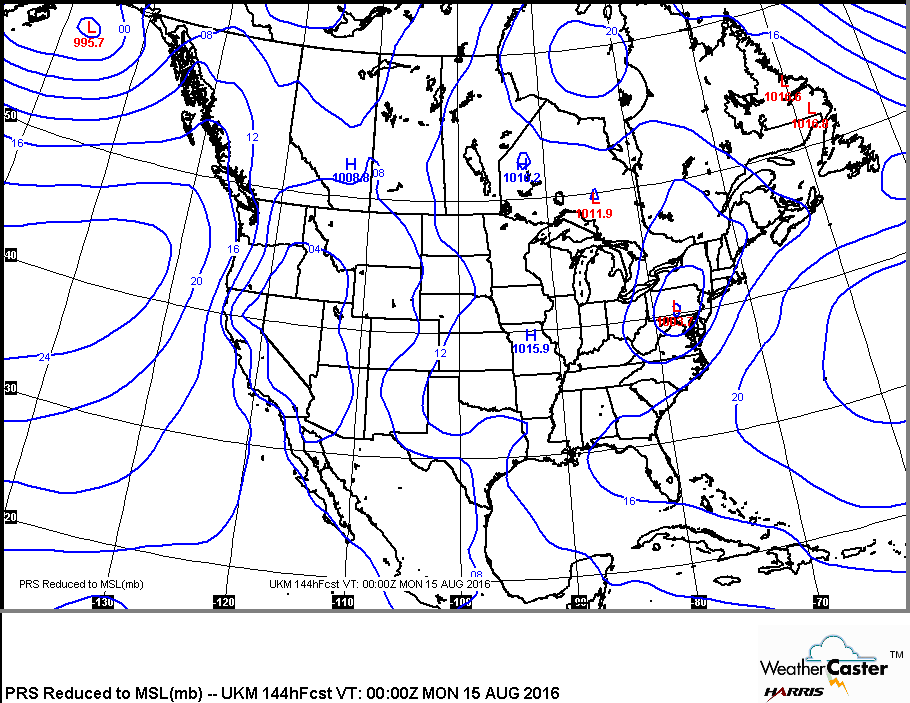
Below....UK Met Model insisting on a low in Appalachians by this Sunday...which could mean a heavy rain threat. Be safe.

 RSS Feed
