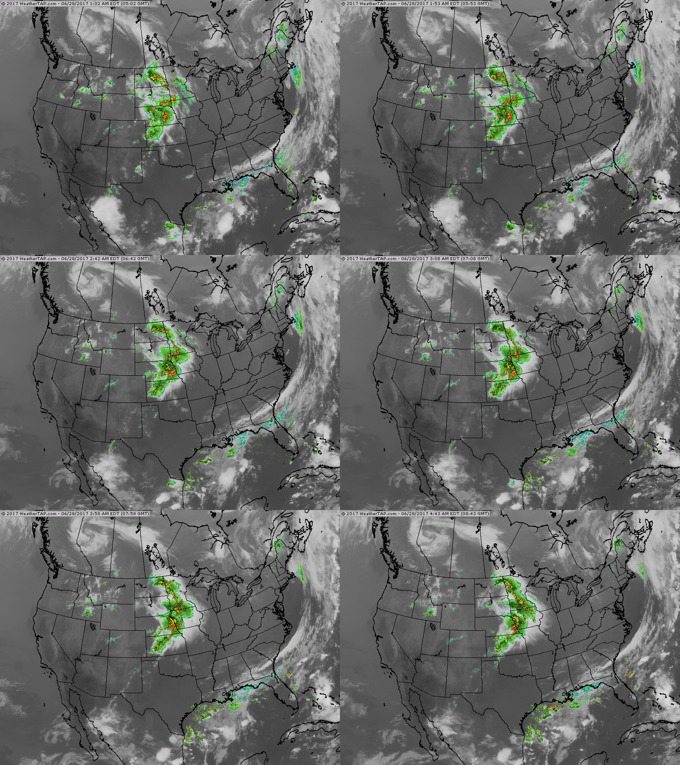
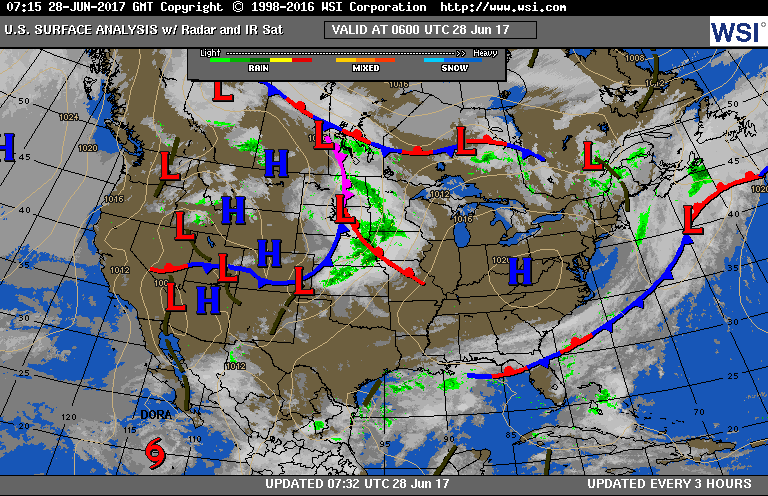
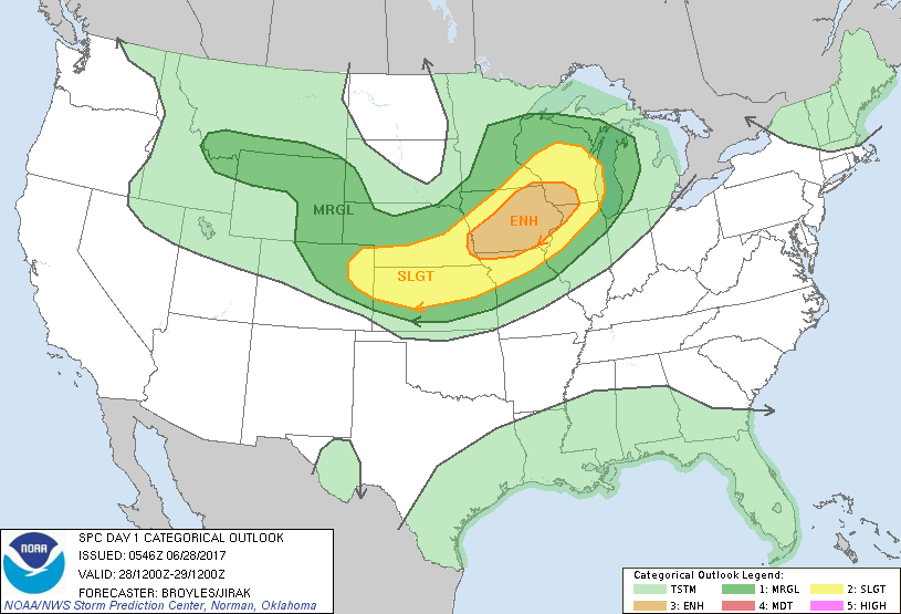
Above...satellite + radar shows stormy weather in upper Midwest. That area will elongate and stretch out to Northern New England - back through Midwest over next few days. Below - current weather map followed by map for severe weather - dark green and yellow - orange.
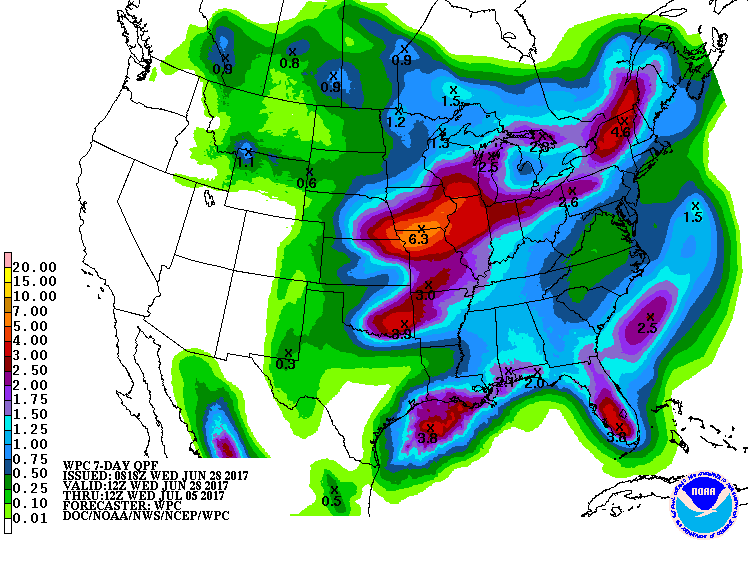
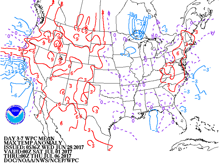
Below - maps for amounts of rainfall over the next 7 days....includes the entire holiday weekend...followed by "how temperatures will average" for the next week.
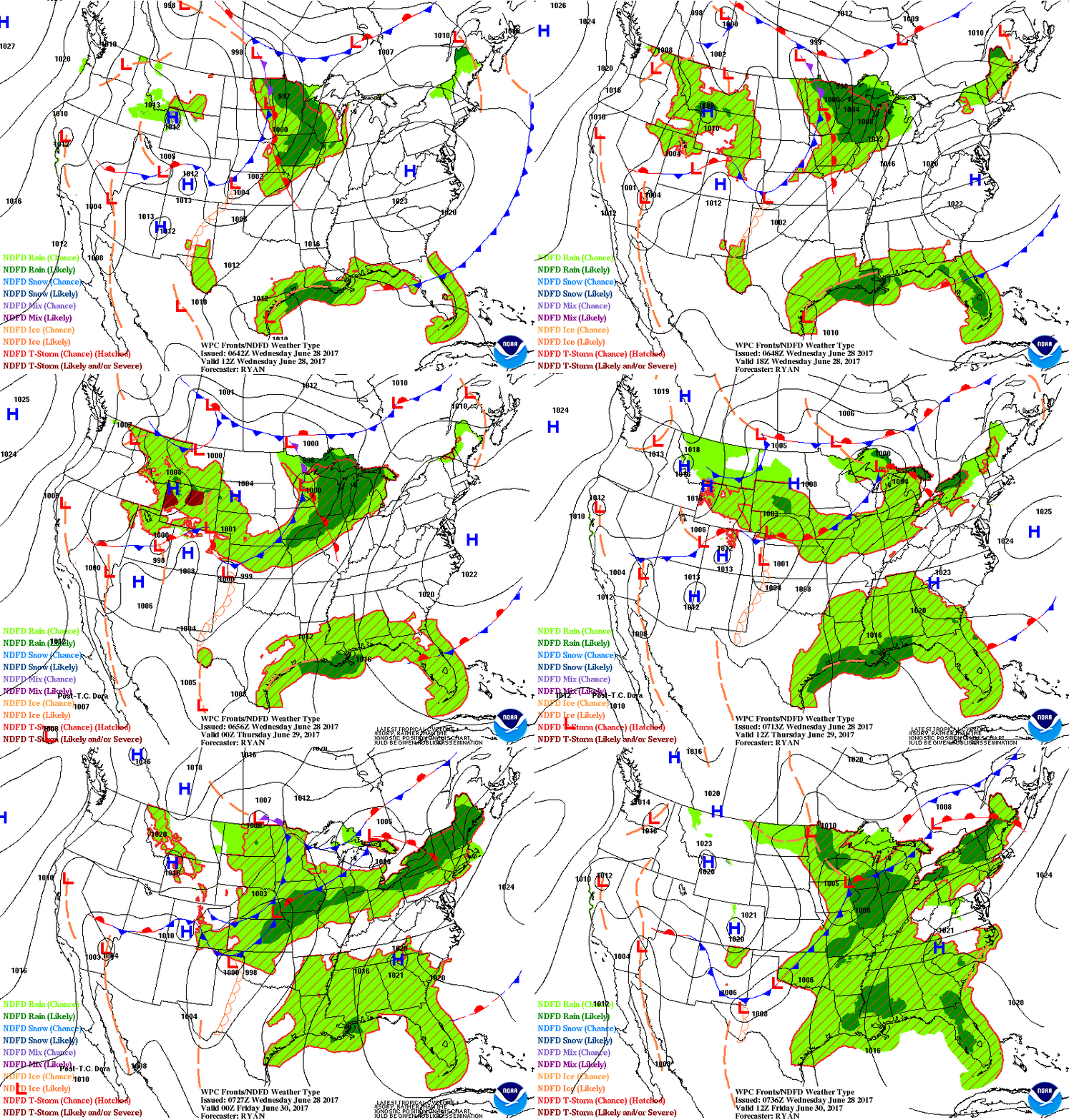
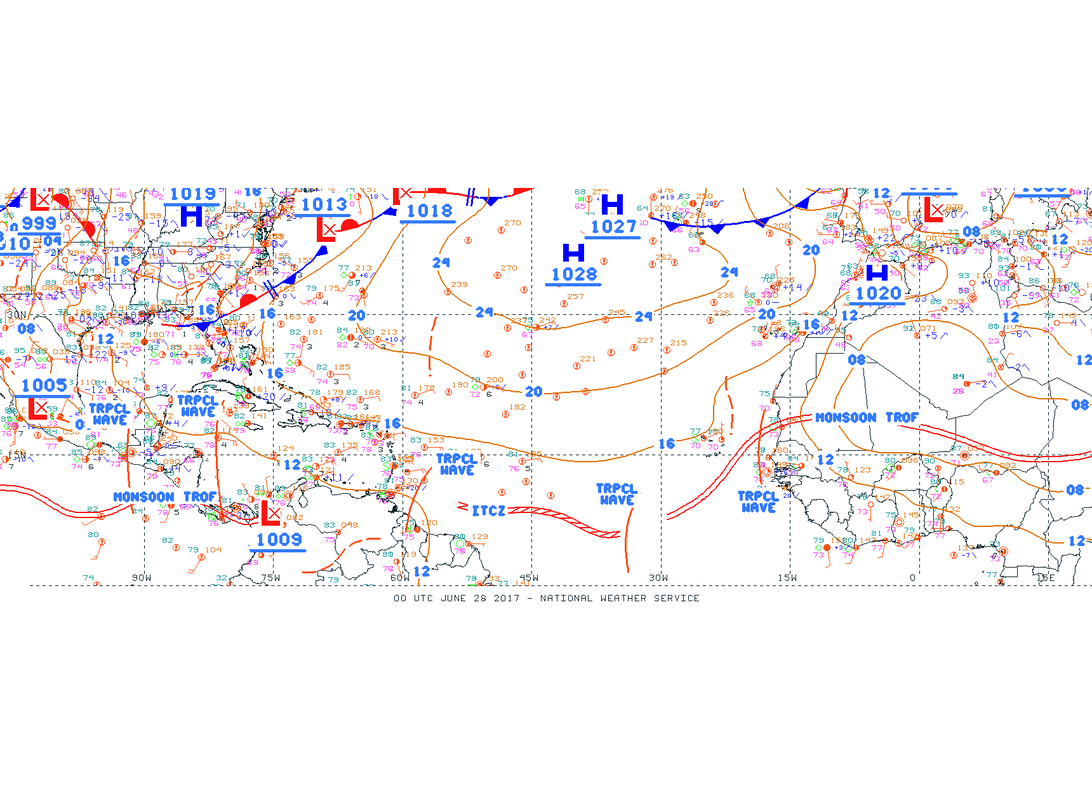
Below ..sequence weather maps for next couple.....followed by a broadview of Atlantic Basin...showing tropical waves from Africa to Gulf of Mexico. Be safe.

 RSS Feed
