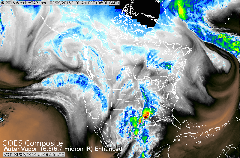
Satellite shows jet stream coming from Hawaii...down into Mexico and then turning north across Texas....producing the excessive rain and severe weather. This pattern will not change much of the next couple.
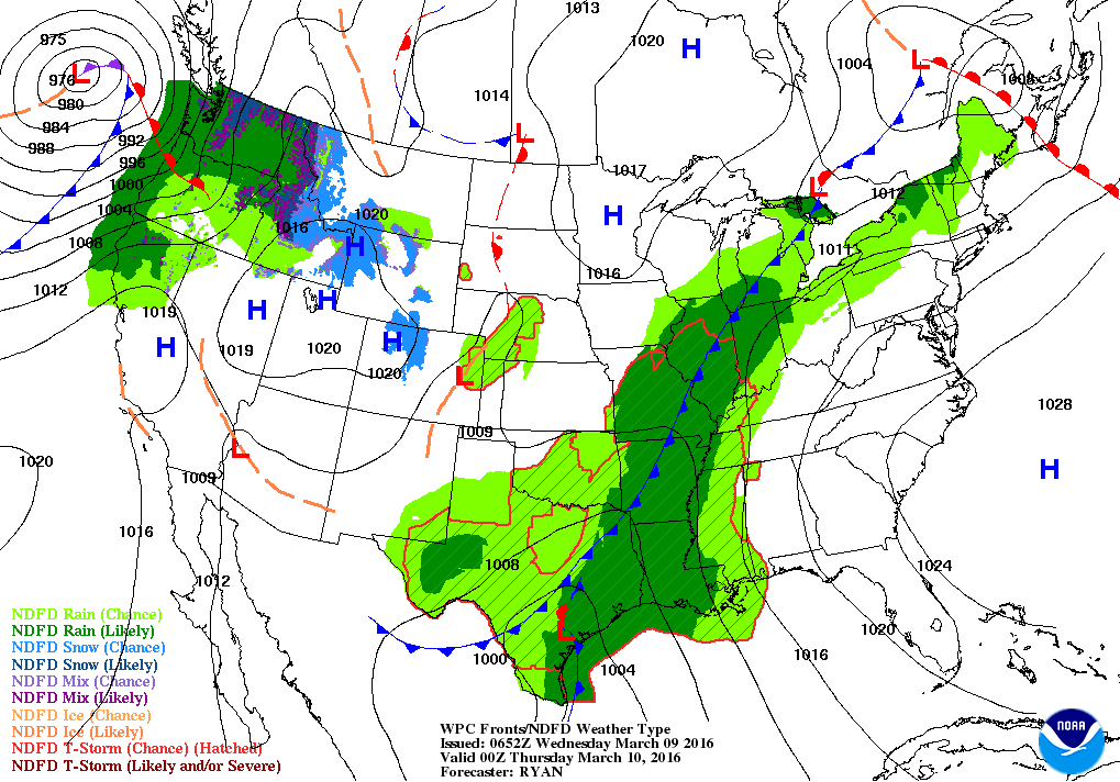
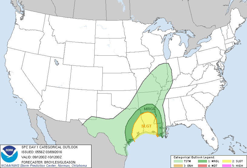
Map is for this evening showing slow moving front in Central U.S. with all of the rain. Another system moving into the Pacific NW. Below...threat of severe weather today in dark green and yellow.... right over Texas.
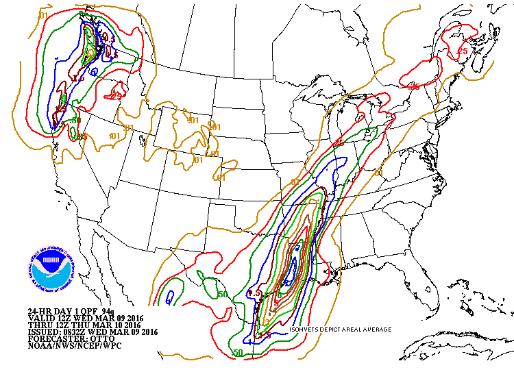
Map below....amounts of rain expected today. In southeast Texas....over 6" expected.
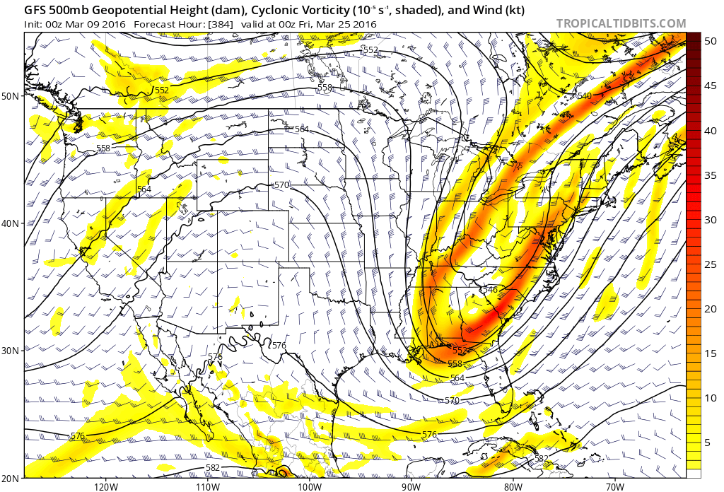
Above....upper air map for March 24th. This indicates that the moisture gets bumped east as a ridge builds over the Rockies and Plains. That leaves a trof to intensify over the East which can not only lead to wet weather...but colder weather. Ummmmm! Be safe.

 RSS Feed
