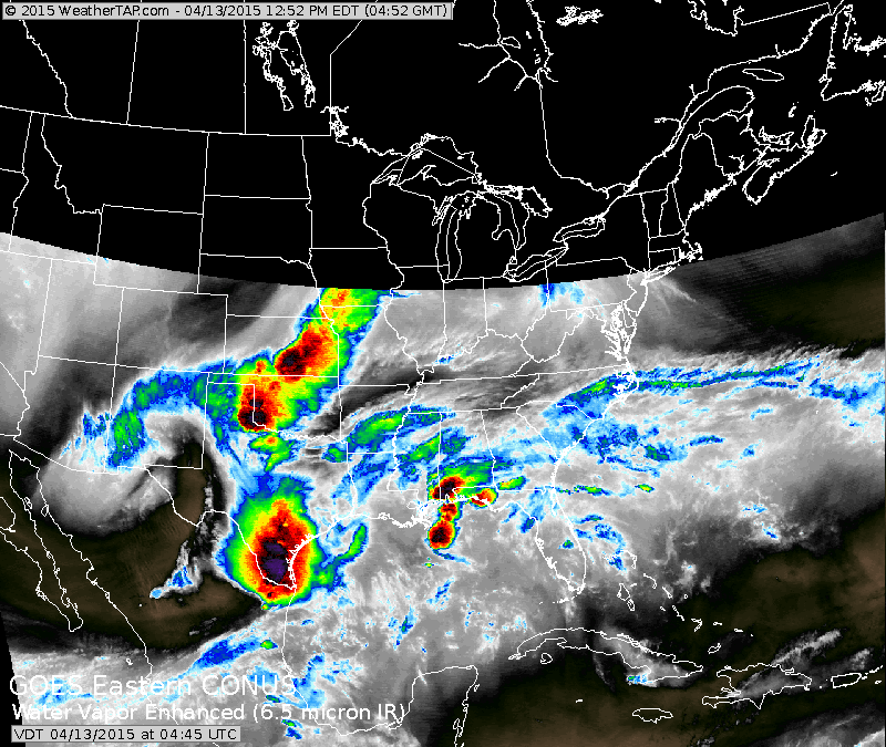
A small patch of showers in Pennsylvania should weaken out....while showers near Chicago will head east and move off the east coast Tuesday. Heavy storms in Texas pose a threat there today.
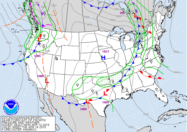
Map above for Monday evening showing a cold front headed for Appalachians with showers. Thunderstorms Texas and southern Plains. Fair center nation....more showers in Pacific Northwest.
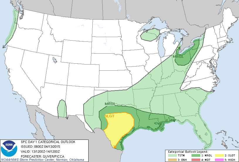
There is a very slight risk of strong storms over Ohio and nearby neighboring states. Slight risk in yellow over Texas.
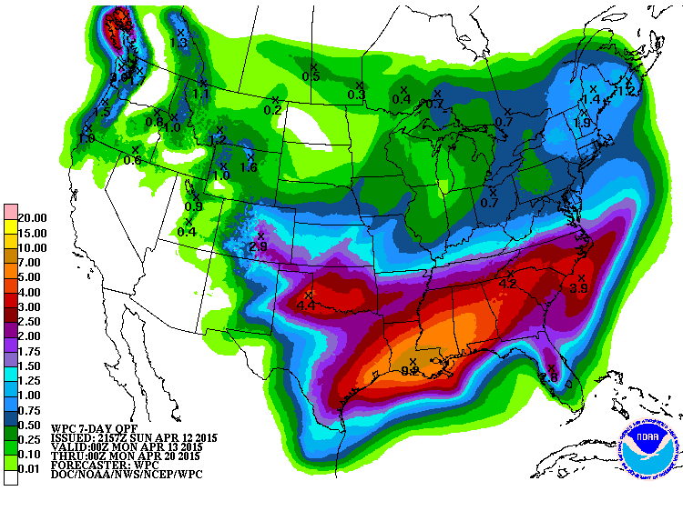
Above.....7 day total rainfall. Clearly...the south gets hit big time. Northeast will also see heavy rainfall as well as the Pacific NW.

Coolest day of the week Nationwide will be Thursday.
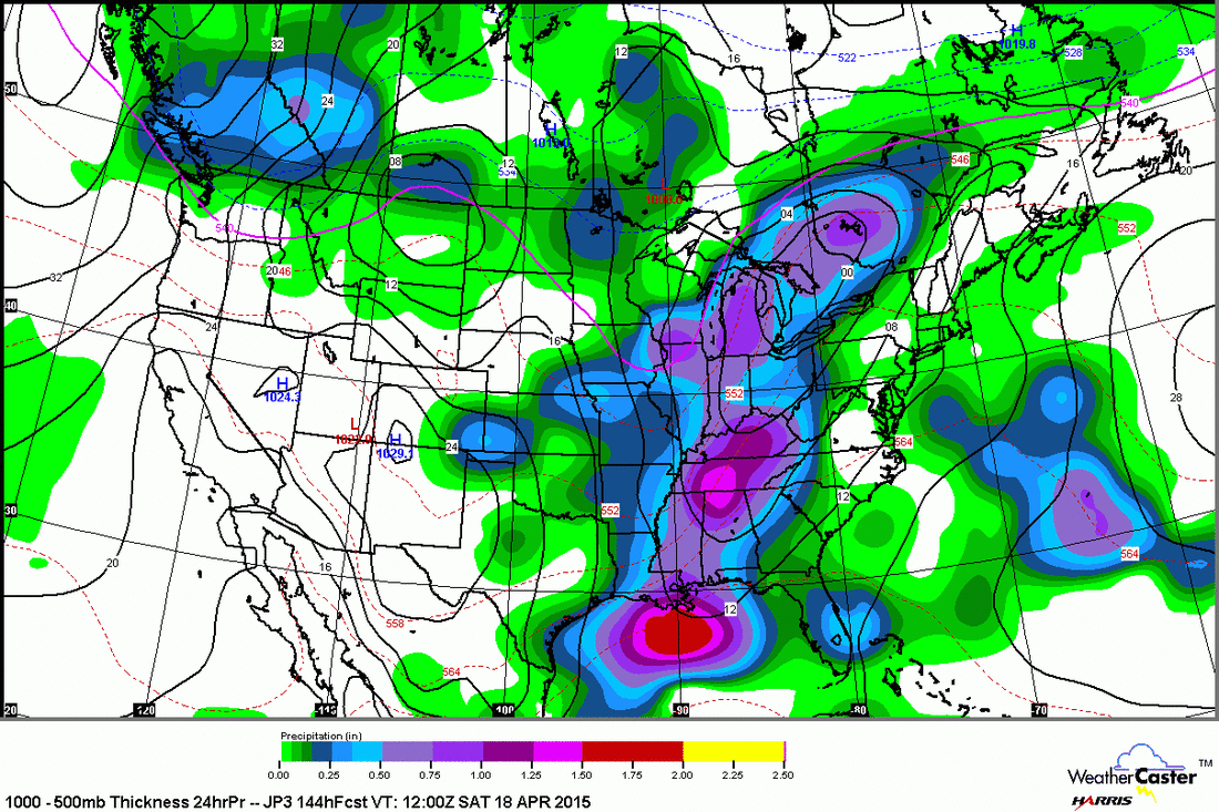
Japan model for Friday night. This model wants to show
plenty of moisture with next front moving out of Plains and toward the east coast. Other models say "No" to this and want to keep the system separate and more isolated. Time will tell who will be correct. Be safe.
plenty of moisture with next front moving out of Plains and toward the east coast. Other models say "No" to this and want to keep the system separate and more isolated. Time will tell who will be correct. Be safe.

 RSS Feed
