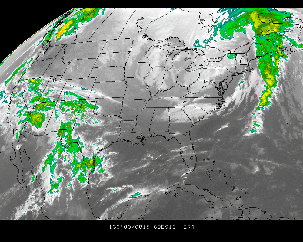
Satellite picture shows deep low in Eastern Canada keeping cold air for the Northeast quarter of the Nation. Rainy wet in the Southwest. Disturbance in upper Midwest heads east and some place from Pennsylvania...Northern Delaware - N.Jersey..Long Island will get enough snow Saturday night to use the shovels.
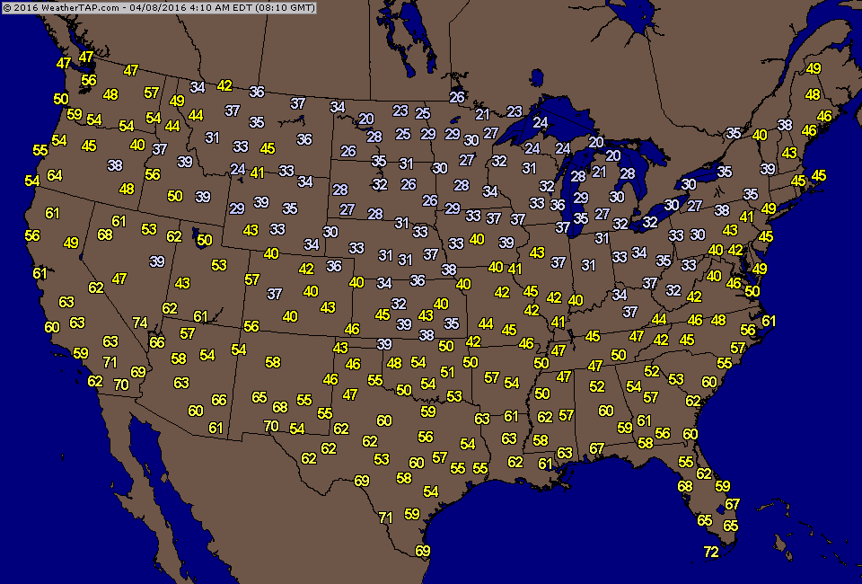
Temperature early this morning. Cold enough for snow..especially at night.
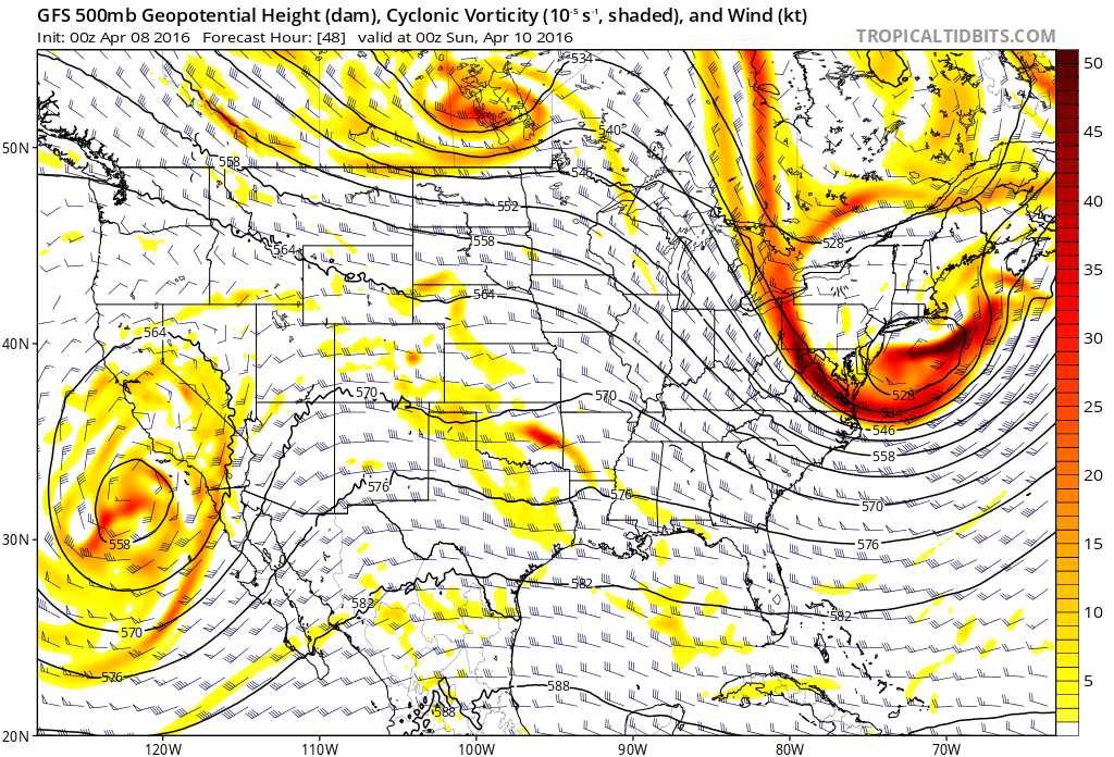
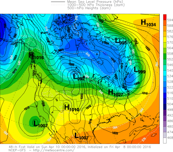
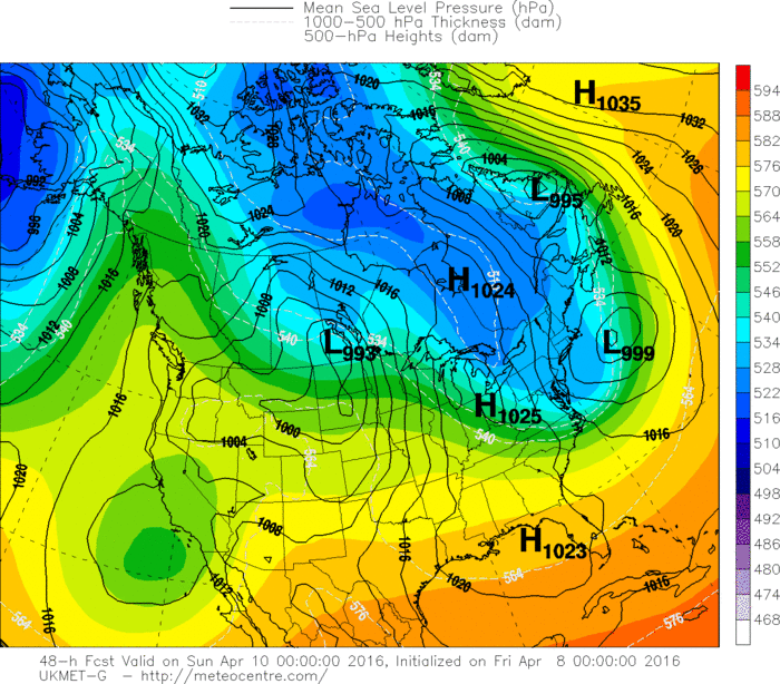
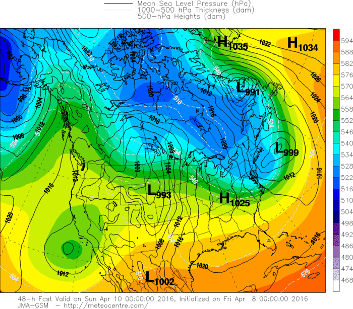
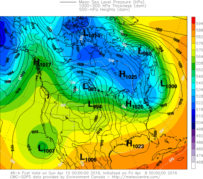
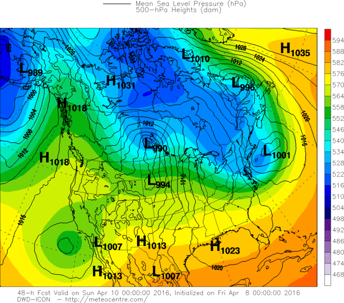
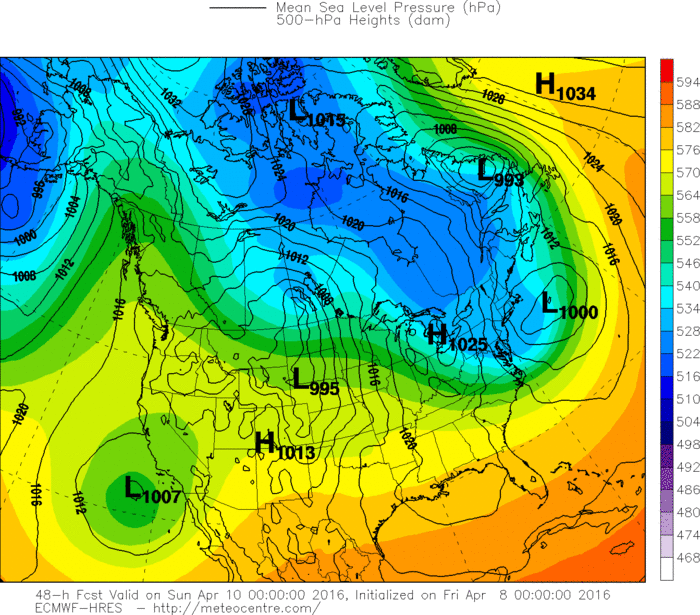
This is the GFS upper air map for Saturday night. Circulation off California will continue to bring wet weather there. The intense circulation off New Jersey is a closed 500 low. This has been shows by the GFS for the last couple of days. If it verifies...a band of moderate snowfall is possible anywhere from NJ to Long Island to Cape Cod. Good luck. Below...the various models for Saturday night for the east coast. All very similar.
Be safe...have a nice weekend.
Be safe...have a nice weekend.

 RSS Feed
