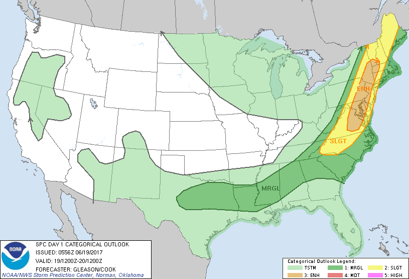
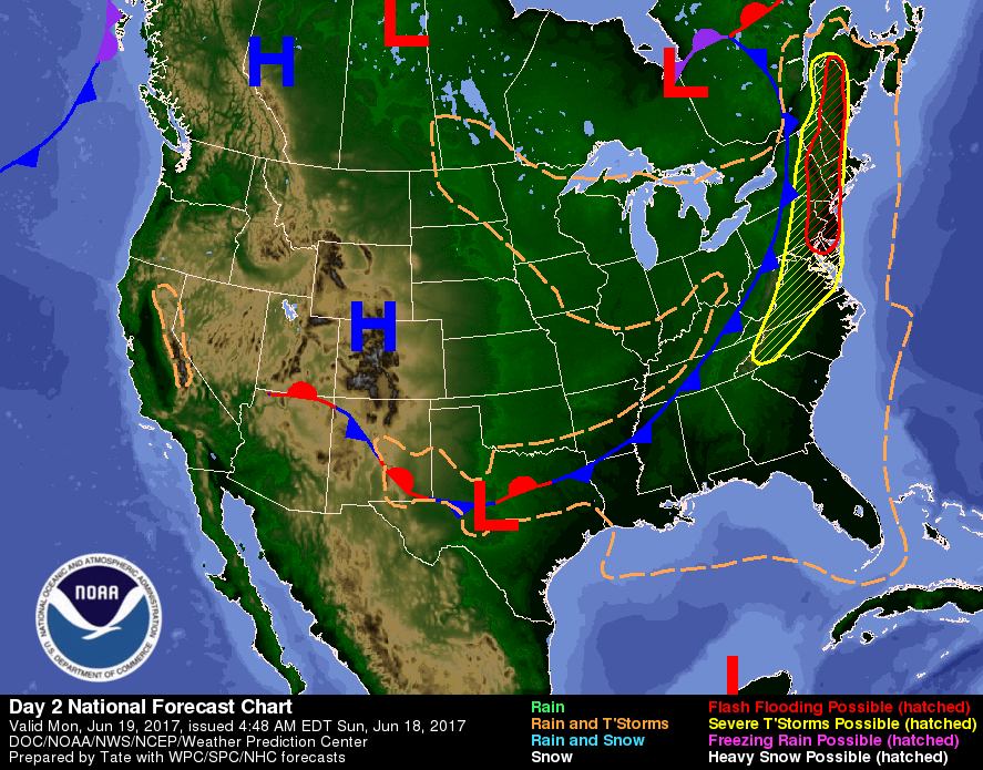
The East Coast under the gun today for severe weather from Maine to N.Carolina. Some tornadoes are also possible. Below - current satellite and radar which already shows action in the East...so with sun...it should only get worse.

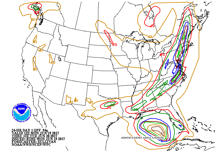
Above - amounts of rainfall expected over the next 24 hours. Below - today's weather map showing severe weather in yellow...and flash flooding in red.
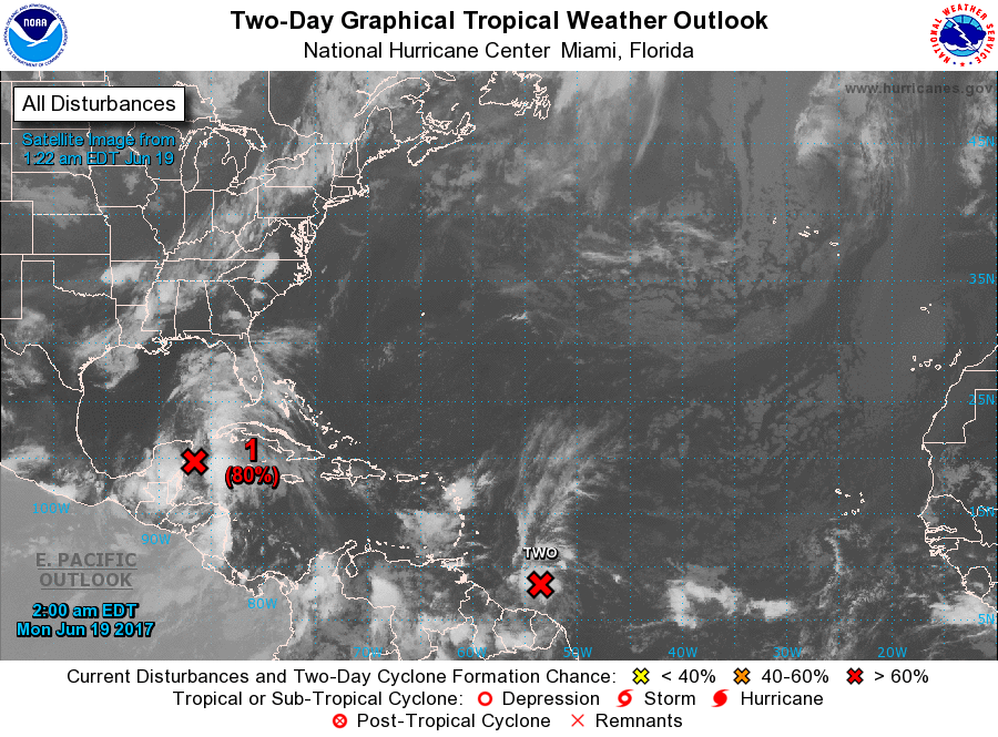
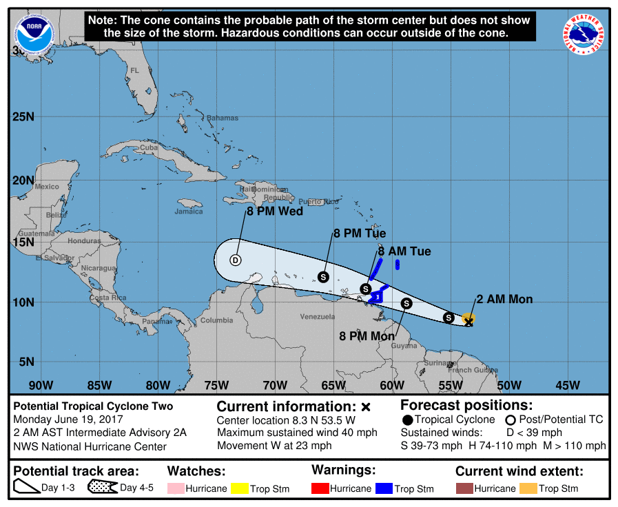
Below - Atlantic Basin: 2 systems....1 in the Gulf which could become Brett..2nd - in Carribean which should become Cindy. Their expected tracks are listed as well. Be safe.

 RSS Feed
