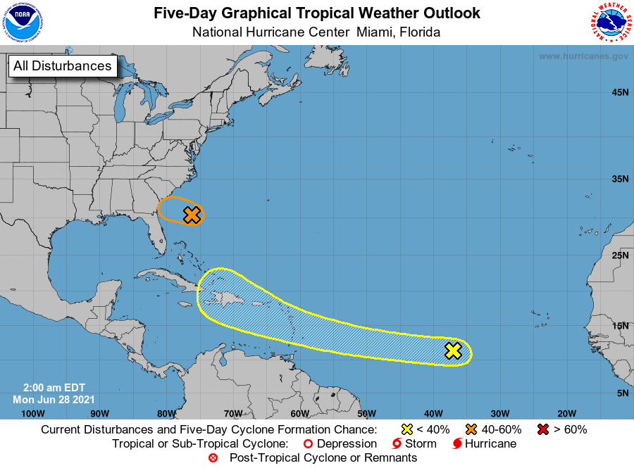
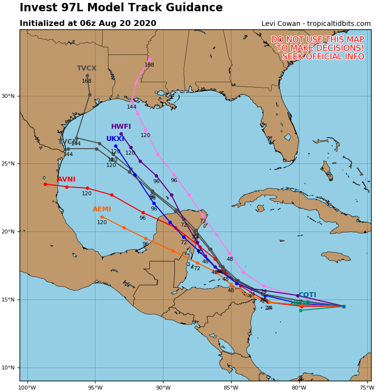
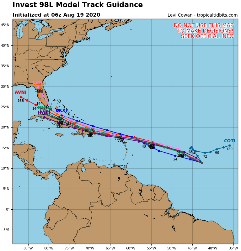
Satellite + radar shows storms moving across the Northeast...and in the Northwest. Lowest left...Hurricane Genevieve. Below...tropical Atlantic map - model tracks of 2 waves in Atlantic + Genevieve.
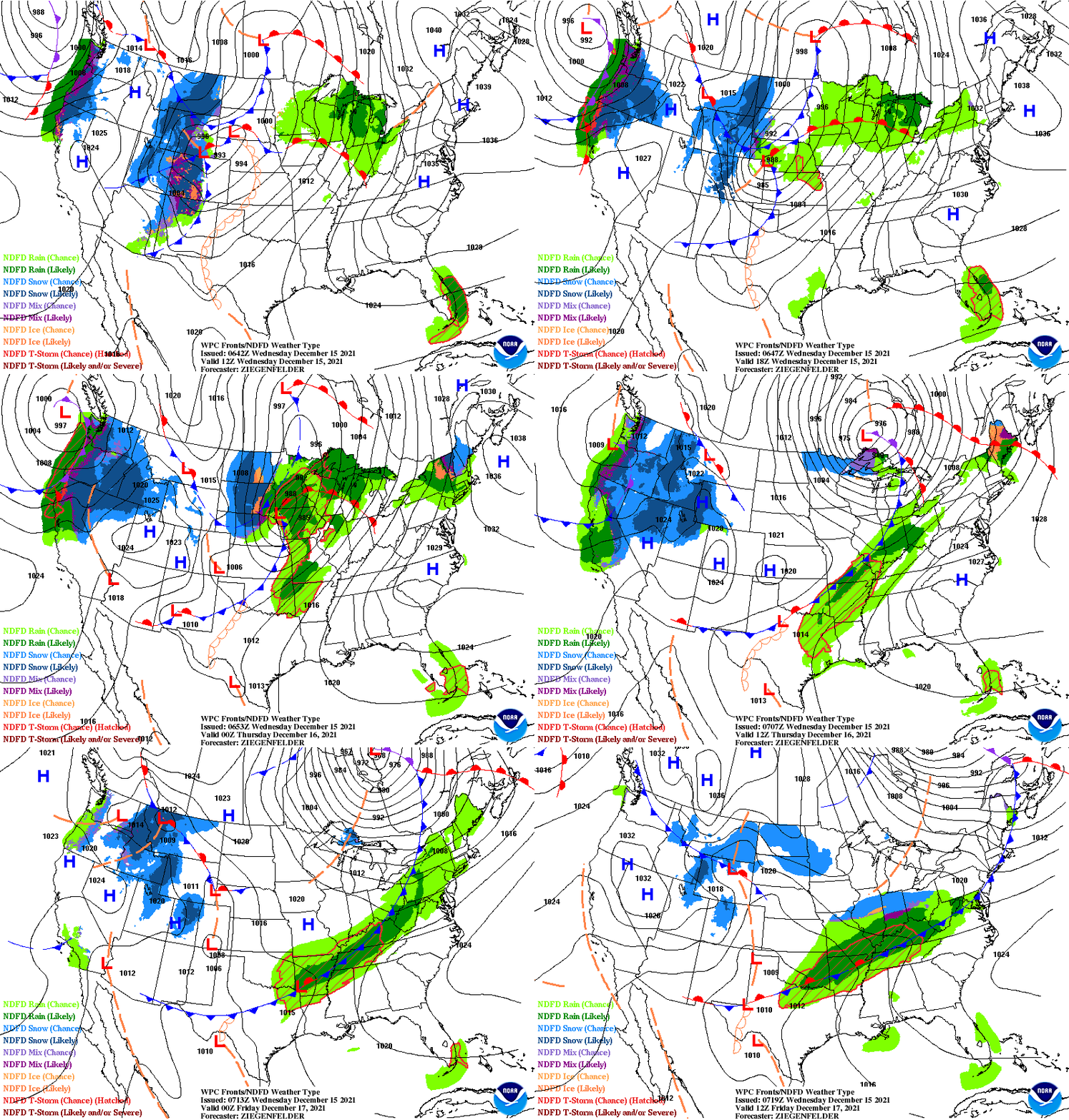
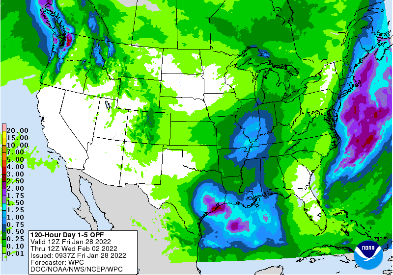
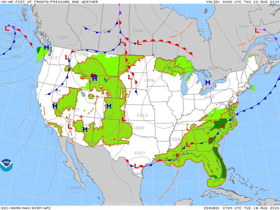
Below- animated maps + today's severe chances + rainfall through Saturday.
We end with snapshot weather for your Wednesday. Be safe.



 RSS Feed
