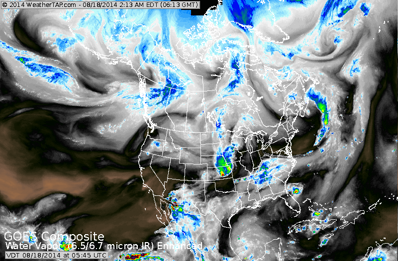
Satellite above shows some rain in Midwest...Mid Atlantic and deep Southwest....otherwise...quiet.
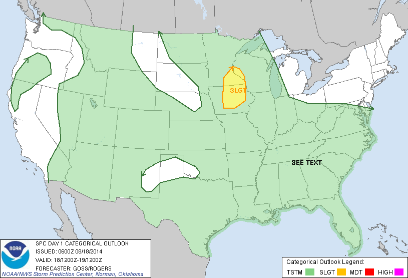
Above - today's risk for severe weather - small area outlines in yellow over Minnesota/Iowa.

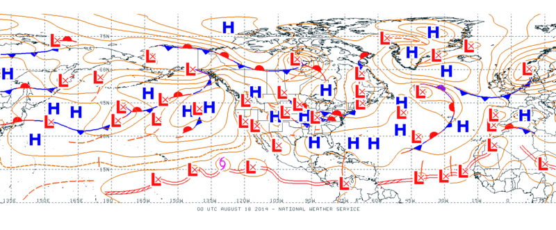
Front in Midwest will bring storms there today ...and front over Mid Atlantic will do the same. Elsewhere nothing out of the ordinary.
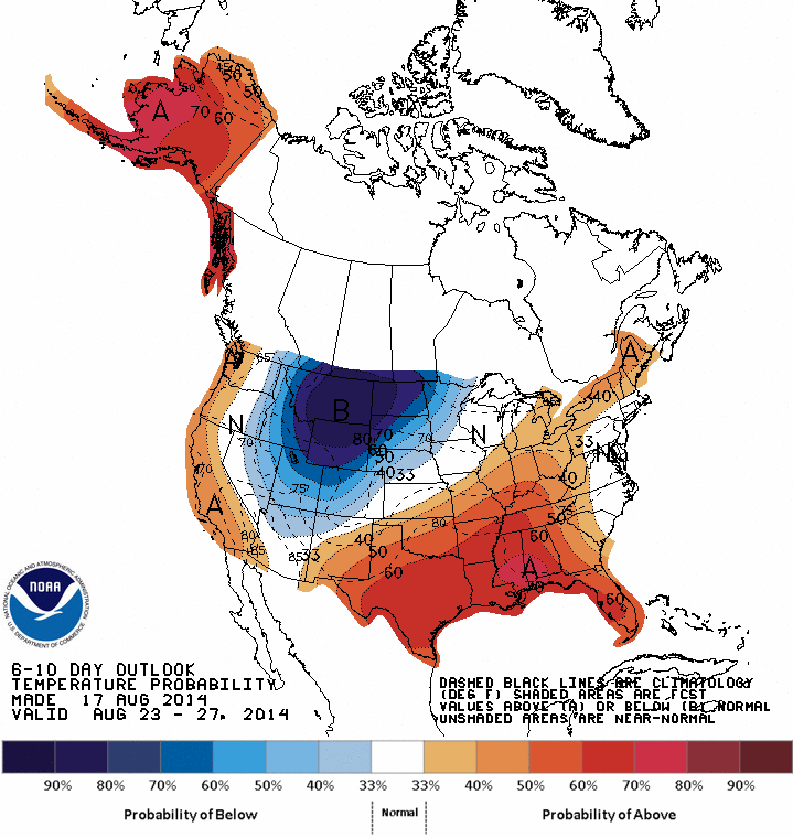
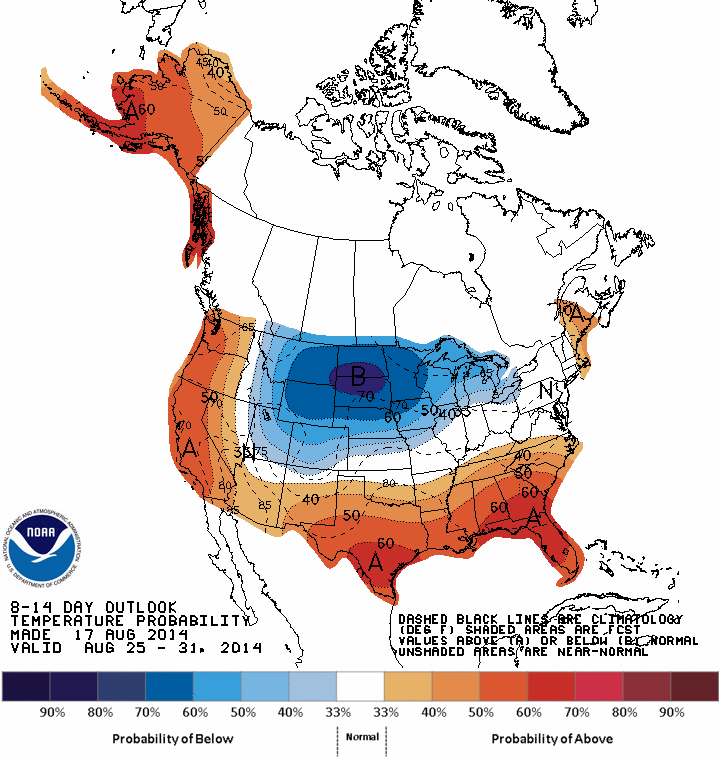
Map above shows how daytime temps. will average thru Aug. 27.....blue - cold...........orange - hot. Below...Map takes us thru Aug. 31st....and you can see the chilly air pushing east......just in time for Labor Day Weekend ?
Map above shows the entire zone of the tropics from Africa to Pacific. The very bottom double red line is the zone in which disturbances form...as you can see...many....but only one of which is a tropical storm...off Baja California. For Atlantic...we watch The African Coast now for development.So...even quite tropical wise. Be safe. Later.

 RSS Feed
