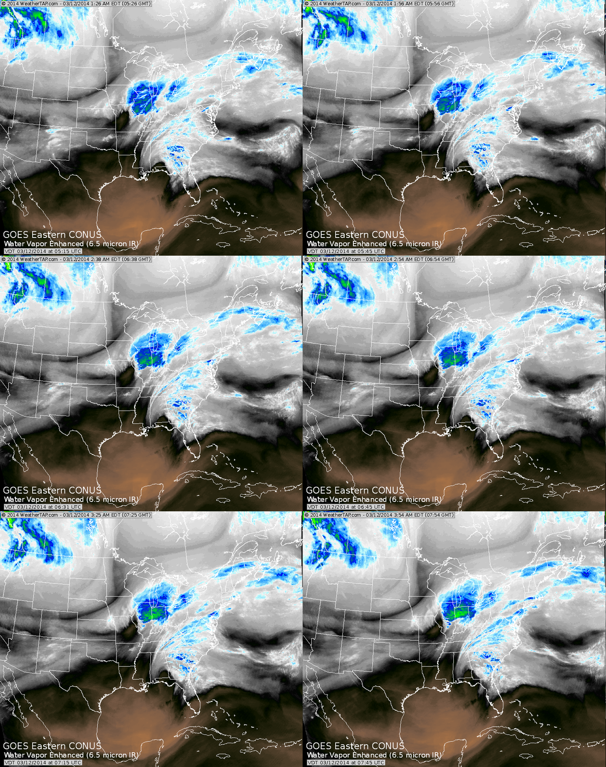
Storm in Southern Ill., bringing snow to Chicago and Gt.Lks...while rain spreads into the Carolinas. This system will bring rain to big cities...including thunder and lightning. Heavy snow will fall from
western Pa., through the northern thirds of NYS and New England.
Those places will get 1 to 2 feet. The 1-2 punch will be followed by record cold in Northeast and Mid Atlantic.
western Pa., through the northern thirds of NYS and New England.
Those places will get 1 to 2 feet. The 1-2 punch will be followed by record cold in Northeast and Mid Atlantic.
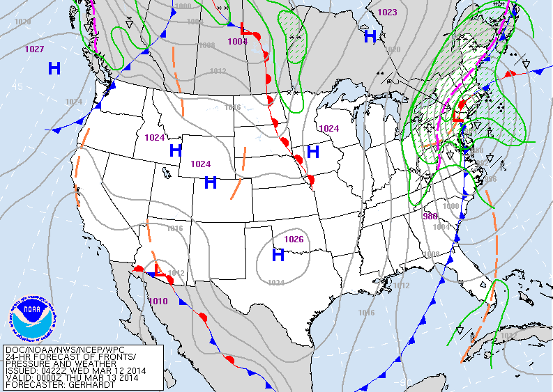
Above map valid to early Wednesday evening. Intense storm will be
near NYC with rain and t-storms from NYC south. The purple dotted line is the rain/snow line. As described above...those areas get the heavy snow.
near NYC with rain and t-storms from NYC south. The purple dotted line is the rain/snow line. As described above...those areas get the heavy snow.
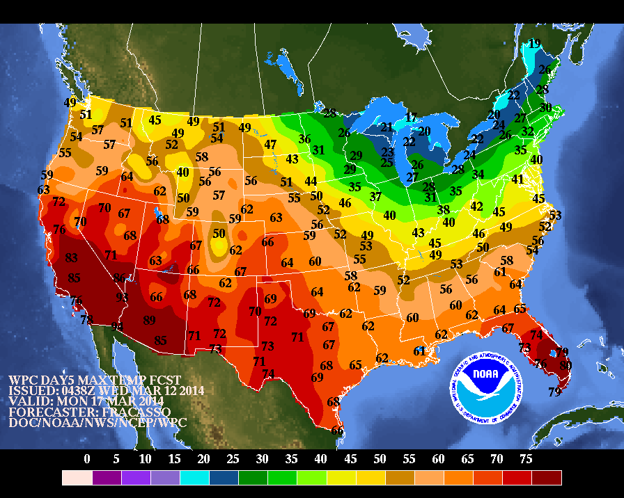
The temperature map above is for Monday, St. Patrick's Day. The green is not for St. Pat but for the coldest weather in the nation.
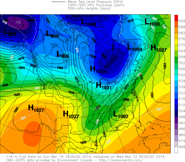
Above, the Canadian model, the only model, that wants to form a storm in the south and bring it northeast to mess up parades on St. Patrick's Day along the East Coast. They have been insisting on this all week...but the infamous Euro keeps the storm supressed and further south. Who will win on this one ? Let's remember..."the luck of the Irish". Later.


 RSS Feed
