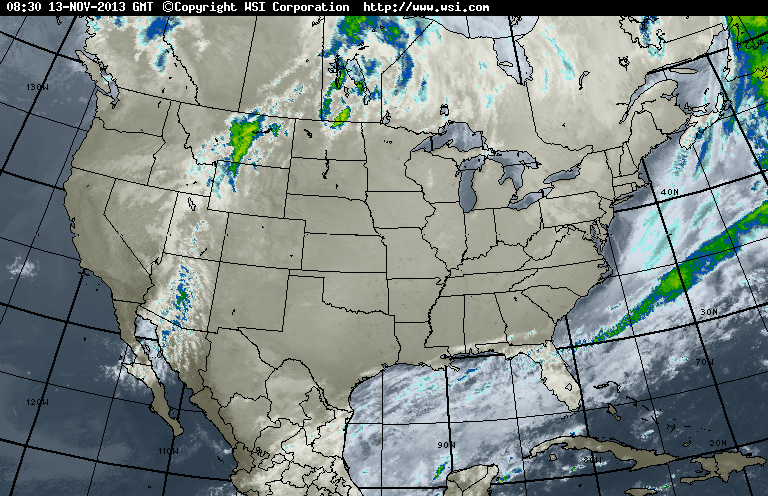
Aside from the front moving into the Rockies...a clear satellite with cold high pressure covering the Nation...including frosty temps across the southland.
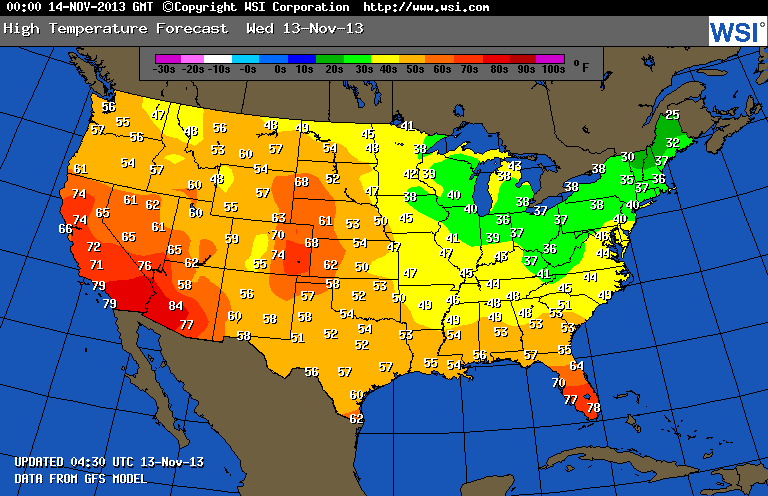
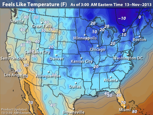
Map above....shows today expected highs....green- coldest...red and range- warmest. Just above...what it will feel like with we combine wind and temp. Pattern will mild up this weekend and it will get wet from west to east. Stay warm...later.

 RSS Feed
