Water vapor satellite shows strong jet stream moving down west coast and heading into Great Lakes. The blue/green represents moisture and the cold front which will cool East Coast this weekend. A storm in the southern jet will bring a wintry mix late Sunday into Monday for the East....and since it will follow on the heels of the cold front..the layer of cold air will be shallow...so any severe icing or heavy snow will be limited and not that widespread except across interior New England.
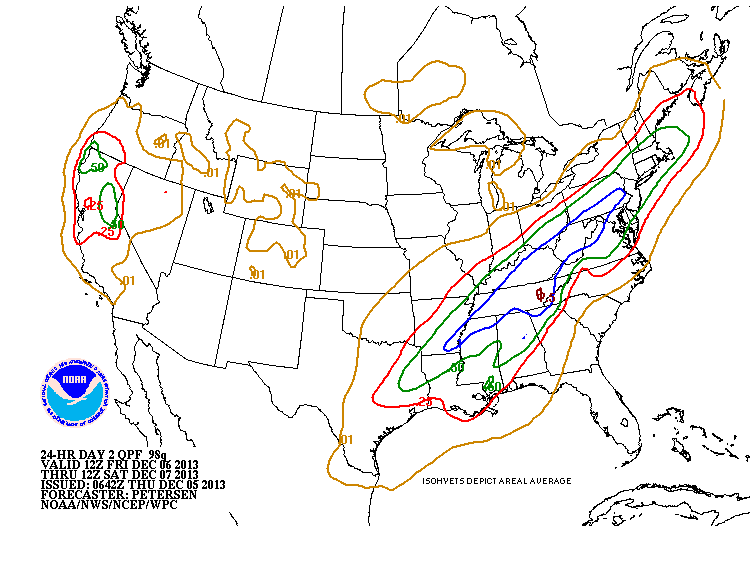
Above maps shows expected rainfall with cold front Friday into Saturday.
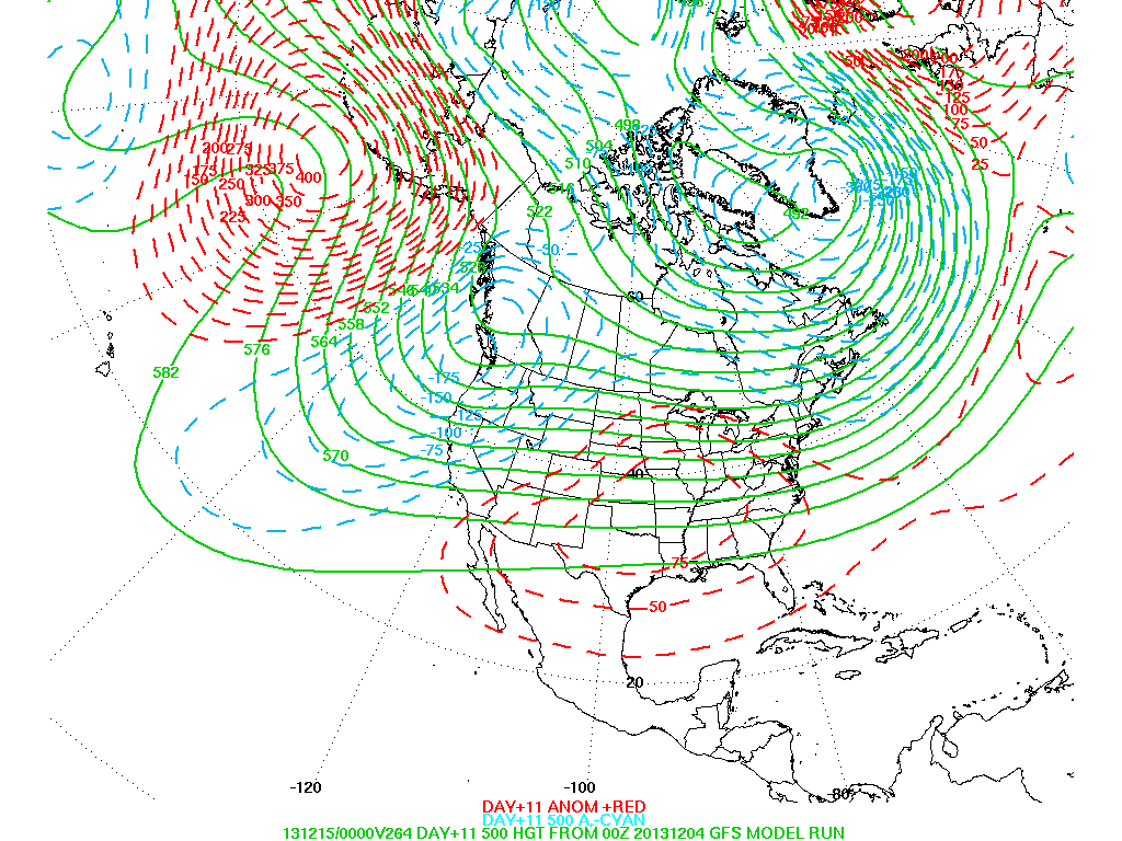
This upper air map is for 10 days out...and this zonal (west to east) flow would indicate more seasonable weather.....so not to worry.....you will still have good weather to shop by. Stay safe...later.


 RSS Feed
