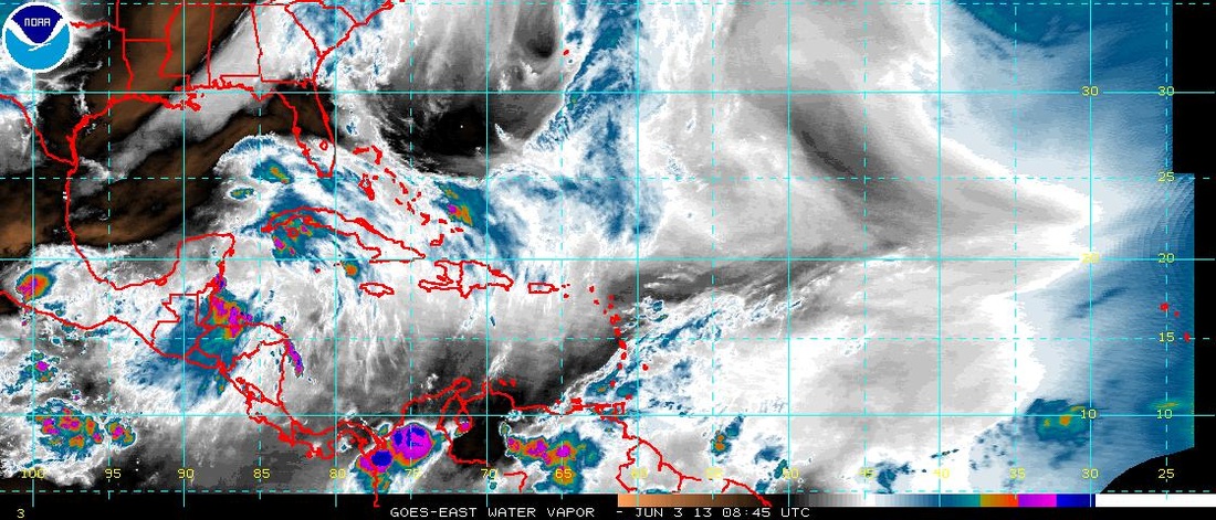
Sat pix early a.m. show what appears to be an easterly wave in the se Gulf Of Mexico. Almost all models are picking up on this now...so I feel more confident that our forecasts from last week will verify for late this week. Hard to say if this will produce any significant wind...but a rain-maker it will be especially inland away from coast.
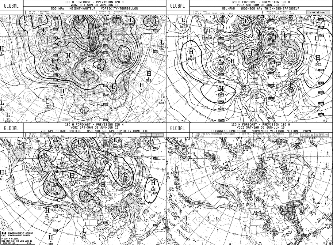
Above, Canadian model, which was most aggressive this week...continues as much this a.m. placing the tropical system right along the mid-atlantic coast on Friday. This model would indicate gusty winds & rain.
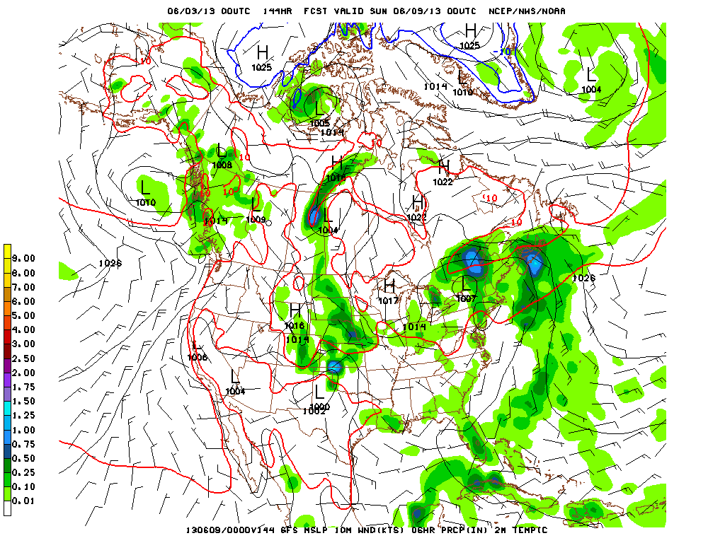
Above, The GFS for Saturday nite shows the tropical system (open ) right over NYC/L.I.
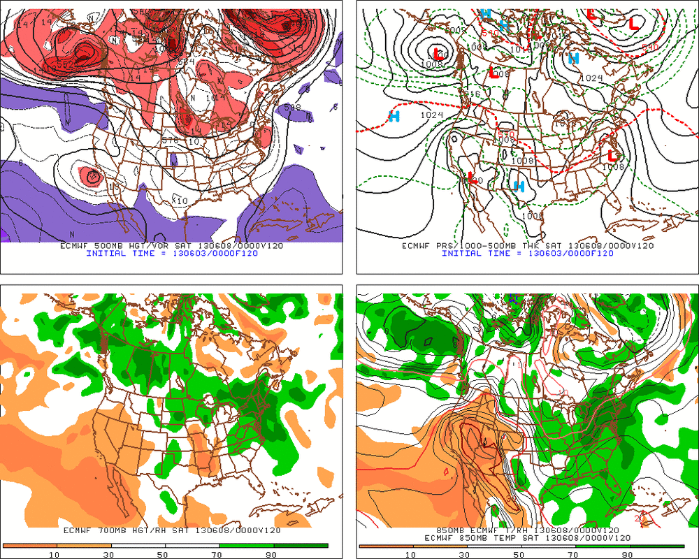
The Euro...above...is closer to Canadian but slower...nevertheless...in the same camp.
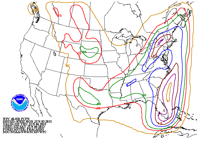
Finally, map above shows QPF from Thursday into Saturday....so as I pointed out last week - one big tropical mess for The Easter Half of the Nation. So after nice weather...very unsettled for late week into part of the weekend. Later.

 RSS Feed
