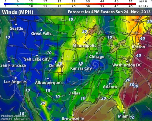
We're already feeling the winds in the NY Metro area, but in a few hours it'll get even stronger. Yes, stronger. Winds for much of the Northeast and down to DC will see winds of 25-30 MPH with gusts of up to 45 MPH, locally even up to 55 MPH. What's causing it? Well first up check out the CCW spiral just south of Chicago IL. That's a large area of high pressure as you can see below.

Where that high pressure is, look at how much space is in between the isobars (lines of pressure). Take another look at the isobar spacing in the Northeast and how close together they are as you go up through Quebec. Tighter lines mean higher winds. That isn't the only culprit though as even places like Washington DC and North Carolina will see high winds even with their wider spaces between the isobars. First up let's take a look at a sounding above NYC:
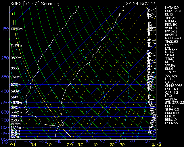
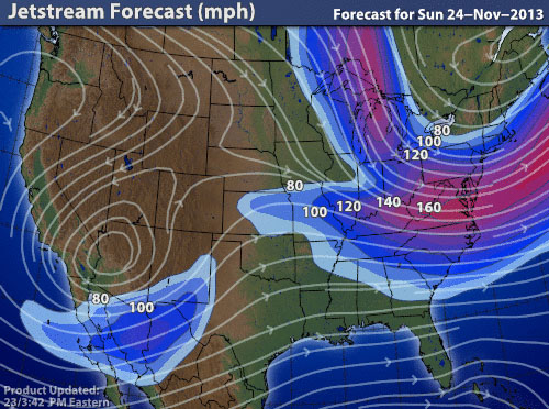
Look at how strong the upper level winds are. We go from a surface wind of 25-30 MPH, a few miles up at 500mb it's at 75 MPH, and at only 5 and a half miles up at 300mb where the jet stream is we're seeing well over 100 MPH winds. Of course while we don't see those winds on the surface, they propagate the lower winds and help steer them.
That's why even though the isobars loosen as you head down towards DC and NC, the wind gusts will still remain close to 50 MPH.
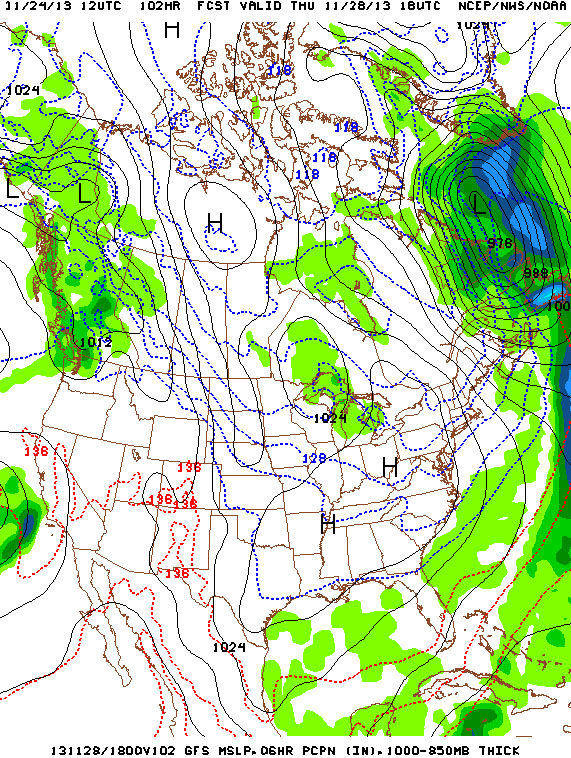
Elsewhere in the nation is very quiet, with only a few showers and snow showers over Texas and Oklahoma respectively. Thanksgiving looks to be much of the same with 95% of the nation in the clear.
Elsewhere in the nation is very quiet, with only a few showers and snow showers over Texas and Oklahoma respectively. Thanksgiving looks to be much of the same with 95% of the nation in the clear.
Make sure you wear your windbreaker for today and especially tonight; the wind chills will be something you want to avoid.
-Mike Merin
-Mike Merin

 RSS Feed
