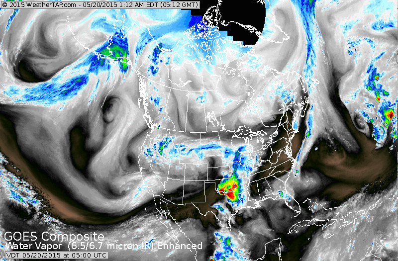
One front off the east coast....another in Central sections...with yet another system along the west coast.
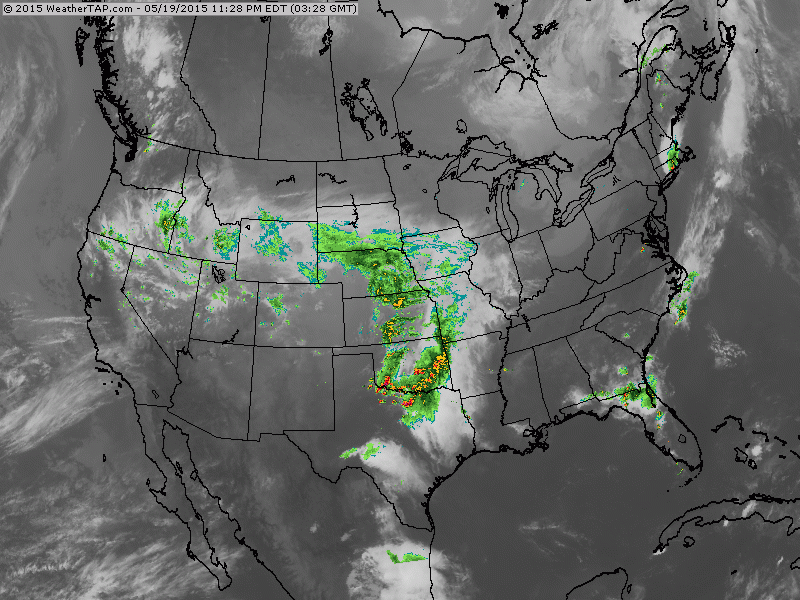
Radar overlayed on satellite. Moisture in central sections will streak eastward and weaken but will bring showers to Mid Atlantic Thursday.
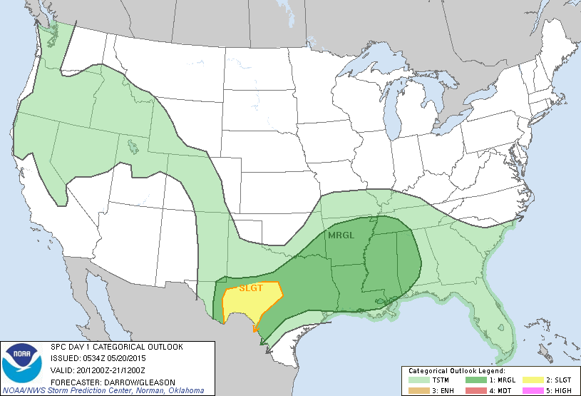
Severe risk today again...Texas into Gulf States.
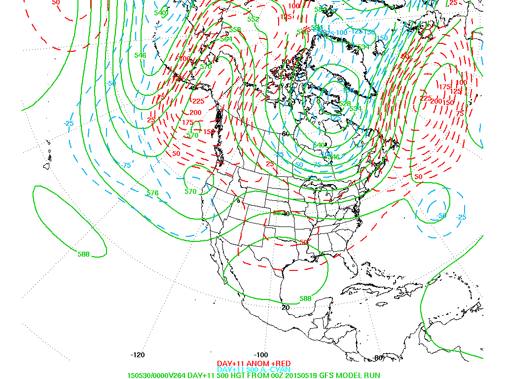
Upper air pattern next week...favoring blocking across Canada....but warmer weather for much of the U.S.
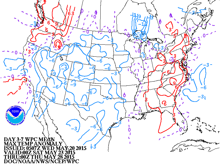
Trend for temperatures next week. Red - warm....Blue cool...and reason for that is clouds and showers.
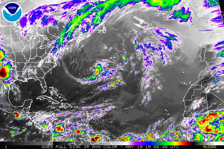
Atlantic Basin tropical satellite. System is central Atlantic is cold core and does not bare watching. Be safe.

 RSS Feed
