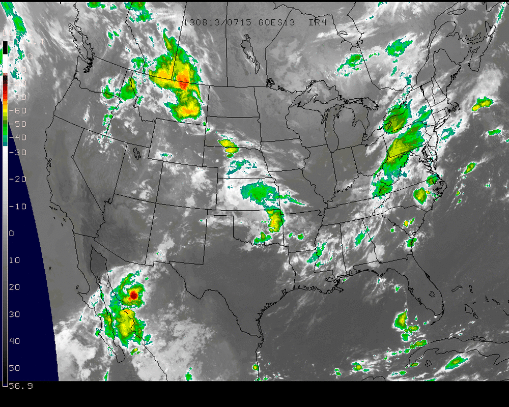
Interesting to note that since the July Heatwave....the weather has been much more tepid and don't see that changing. Days of 90+ normally begin to shrink now anyhow....but latest pattern does not indicate anything different. Satellite picture shows cold front sweeping east across Appalachians...so showers and storms East today...then back to pleasant weather for rest of week. This front stalls in the southeast...and it's moisture will try coming back over weekend. Models say no to any rain....but not so sure about that.
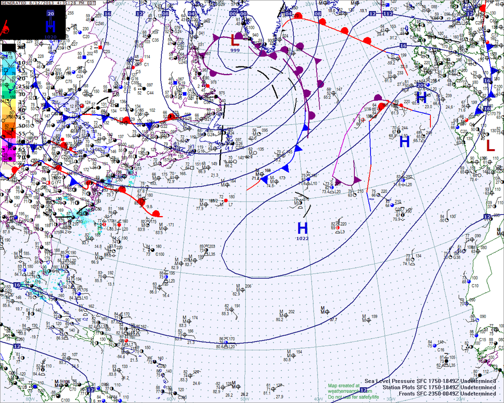
Tropics are still quiet. Hurricane center watching something near Haiti..possible...not probable. Here is the latest tropical atlantic analysis.
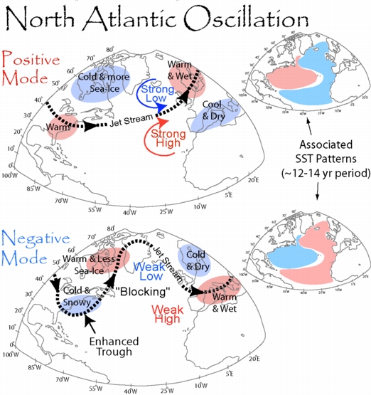
Almost back to school....so time for a lesson. NAO! North Atlantic Oscillation. This is the pattern that is used to predict long range weather for winter and summer. The below diagram will answer any and all questions you may ever have had concerning NAO. After you study the charts...throw some of the info at your spouse or friends..they will be impressed...and even more...they won't question you unless they are a meteorologist. Later.

 RSS Feed
