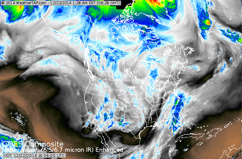
Satellite shows moisture along the sooutheast Atlantic coast...and we can see the jet digging in the southwest. All spelling out wet and not white for much of the Eastern half of the NAtion into Christmas Day. It will be white from
upper Midwest to Great Lakes....and in the Rockies.
upper Midwest to Great Lakes....and in the Rockies.
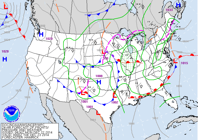
Map above is for this evening. You can clearly see the mess of weather systems. The main low near Iowa will move east as low in Texas moves north...combining to one big storm is Eastern Canada....by Christmas Day.
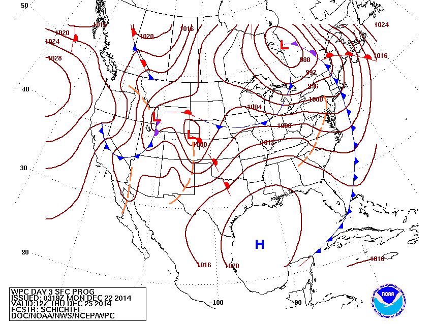
Map for Christmas Day...showing 1 storm in Canada...while the next organizes in the Rockies.
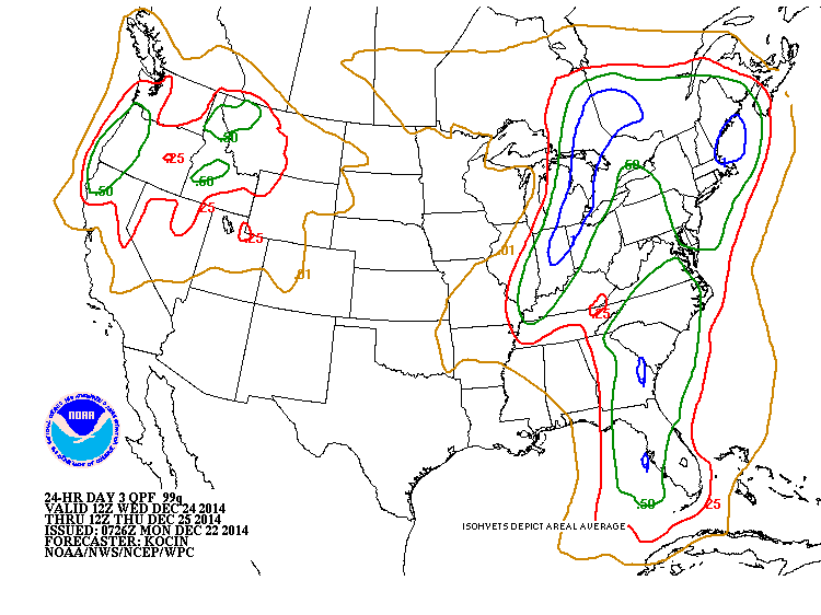
Above...shows amounts of rain on Wednesday. Blue = 1.00".
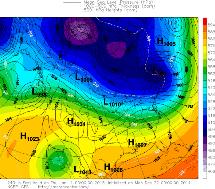
Above - GFS Model for New Year's Day. It shows cold air
from Upper Midwest to Northeast...but other models are not as cold. I think the trend will definitely be to colder weather by 2015....so this time the GFS may be right on.
from Upper Midwest to Northeast...but other models are not as cold. I think the trend will definitely be to colder weather by 2015....so this time the GFS may be right on.
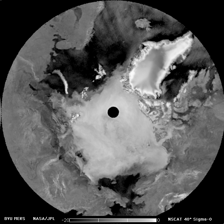
Finally...a shot of the North Pole. Clearly seeing nothing but snow and ice....so Santa has put the skis on his sled and they are getting ready. Later.

 RSS Feed
