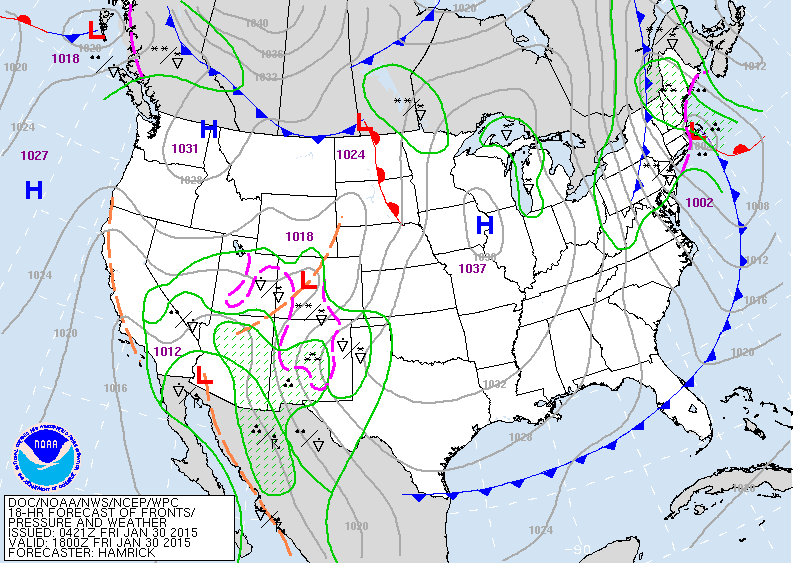
Clipper low moving through Northeast will bring heavy snow to Northern New England followed by gales and cold arctic air. Notice the moisture out west. That's the next storm that will affect the center nation on superbowl Sunday...heading for east Monday.
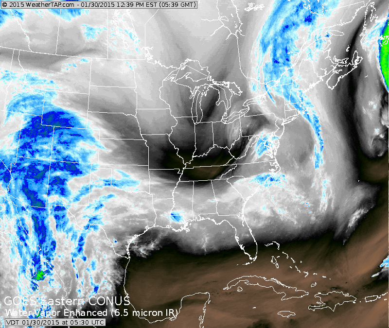
Map is for this evening. Clipper low off New England...snow
over Maine. Cold -dry center nation. Storm brewing in southwest.
over Maine. Cold -dry center nation. Storm brewing in southwest.
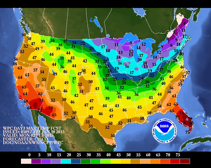
High temperatures for Monday. The cold air over the Northeast will result in a high compression snowfall....many places from Washington and Baltimore to NYC could get 6"
or more.
or more.
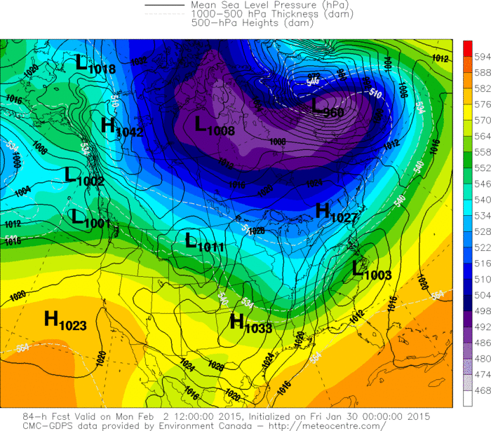
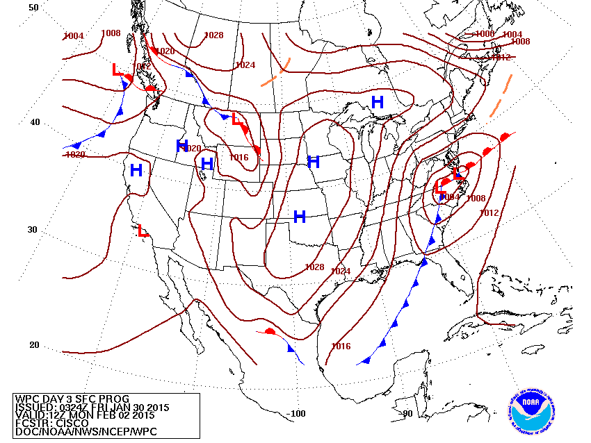
Canadian model for Monday....model keeping storm further south....after trying to bring storm to NYC for 2 days....it holds the least weight.
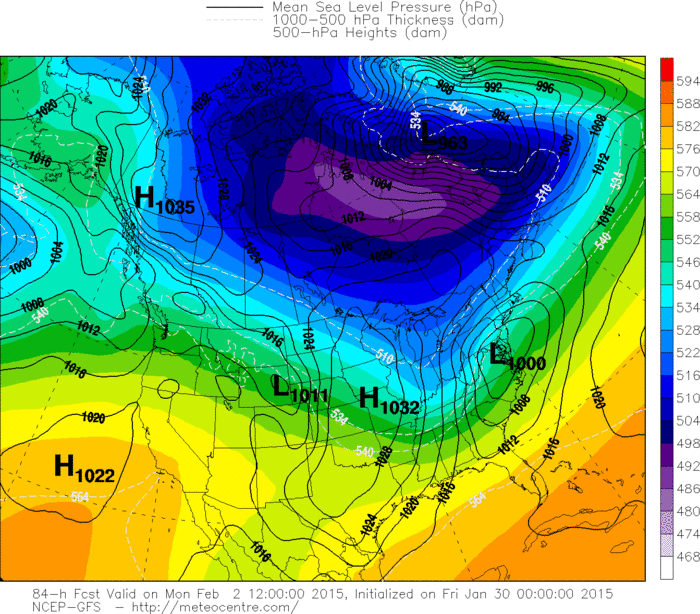
GFS Model.....more consistent....has storm moving out thru Mid Atlantic......still a good bet.

 RSS Feed
