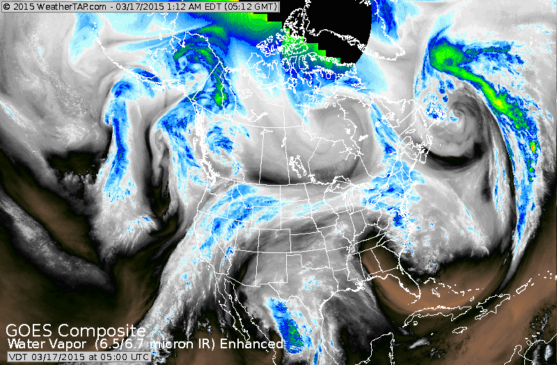
If you follow the moisture from the northeast west across the Great Lakes to Rockies....that's a cold front which will return winter to Northern-tier. Moisture coming out of Mexico could be a key player in Northeast this Friday for possible snow.
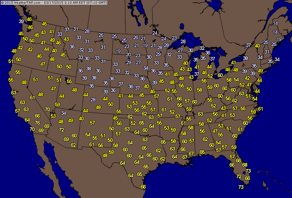
Early a.m. temperatures show the colder air over The Plains - all headed eastbound.
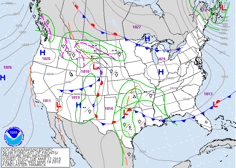
This map is for Wednesday. Notice the storms from The Rockies to Texas. If they separate...the south will get most of the moisture...if they team up....wintry weather could come to Mid Atlantic and Northeast on Friday.
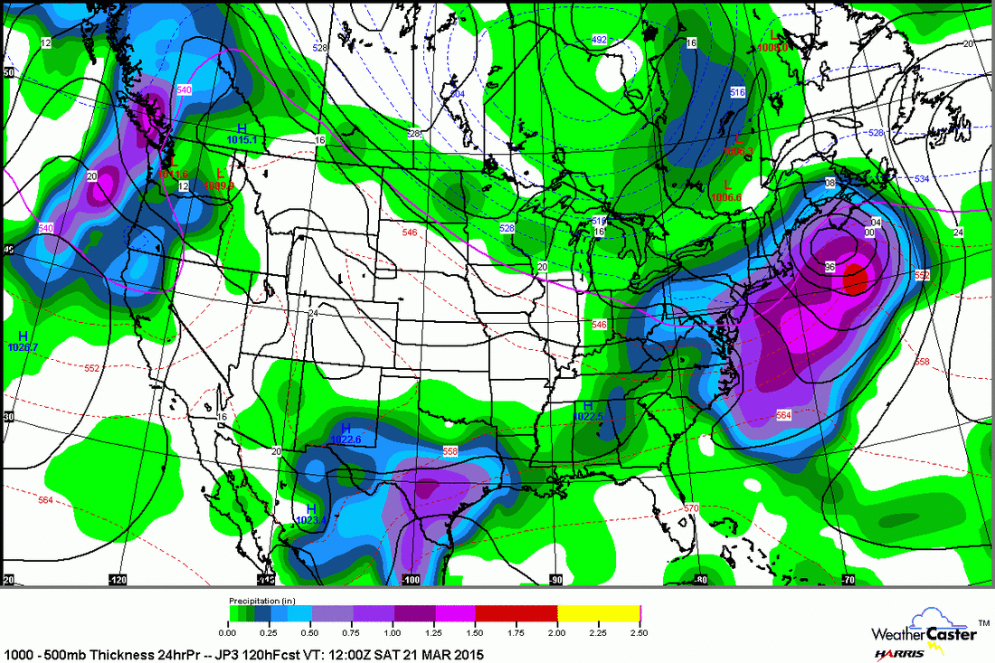
Above...Japan model showing a storm south of Nova Scotia with snow over the Northeast....reason....look at map below.
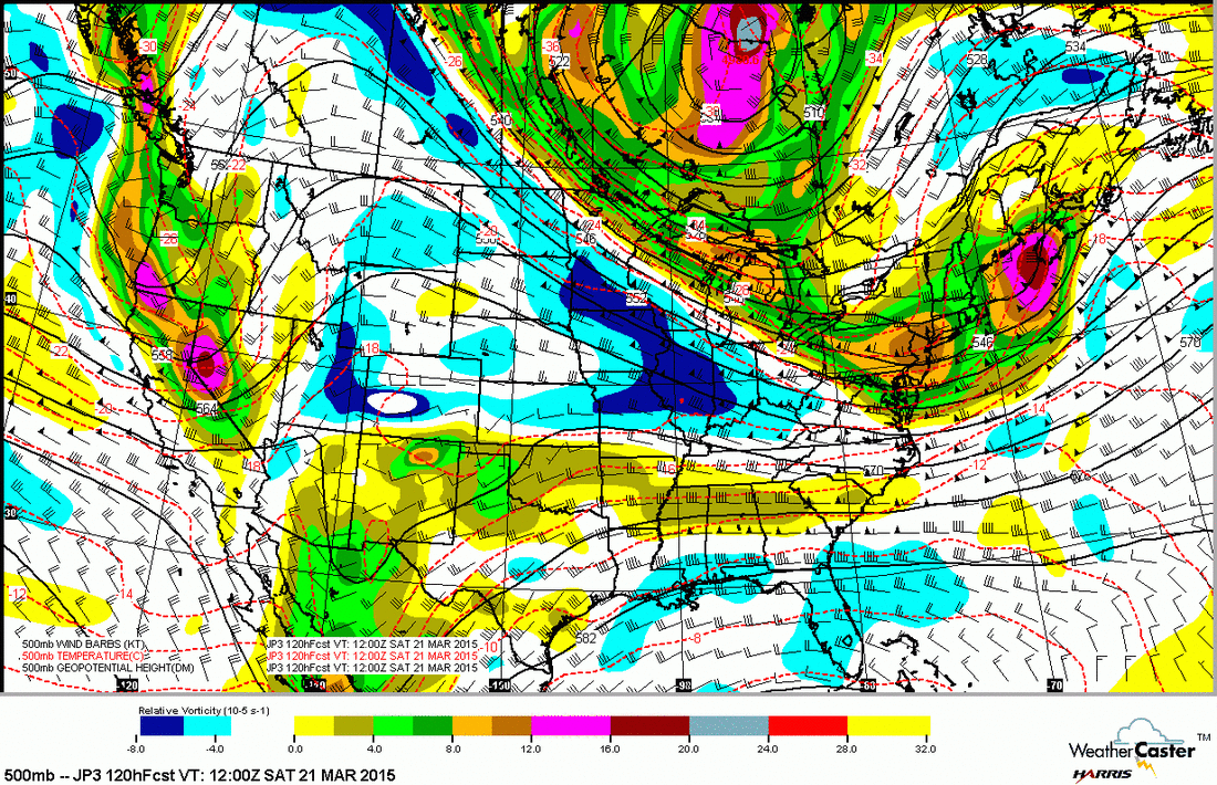
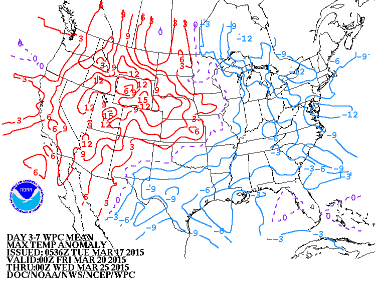
Again...Japan model 500 Mb upper flow shows northern trof digging negatively and resulting in coastal low being closer to the coast. Euro is getting close to this while The Canadian wants to bring mainly rain. Anyhow...below...chart showing how daytime temperatures will average over the next 7 days. Blue- below normal...red - above.....look familiar - of course...just like this winter. Be safe and have a happy St. Patrick's Day.

 RSS Feed
