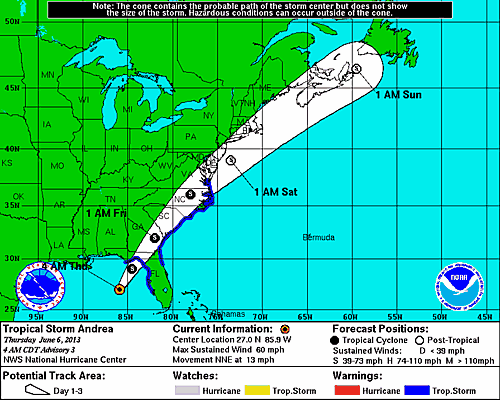
Hurricane track as of 5am Thursday. Don't know what took them so long..but they obviously waited for data from plane before naming the storm.
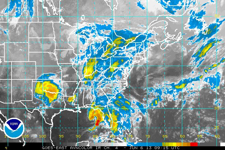
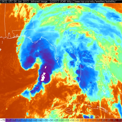
Satellite pictures show some very heavy rain and convection with storm. The orange color indicates dry air which is already being entrained into circulation..thus it should not continue to intensify before hitting Florida. As it makes it way up the coast it will likely weaken as far as wind...but the moisture plume with this system will be the main affects for the US East Coast.
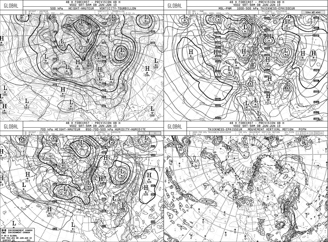
The Canadian model has done an outstanding job on this one...above...shows Andrea along mid Atlantic coast by Friday evening.
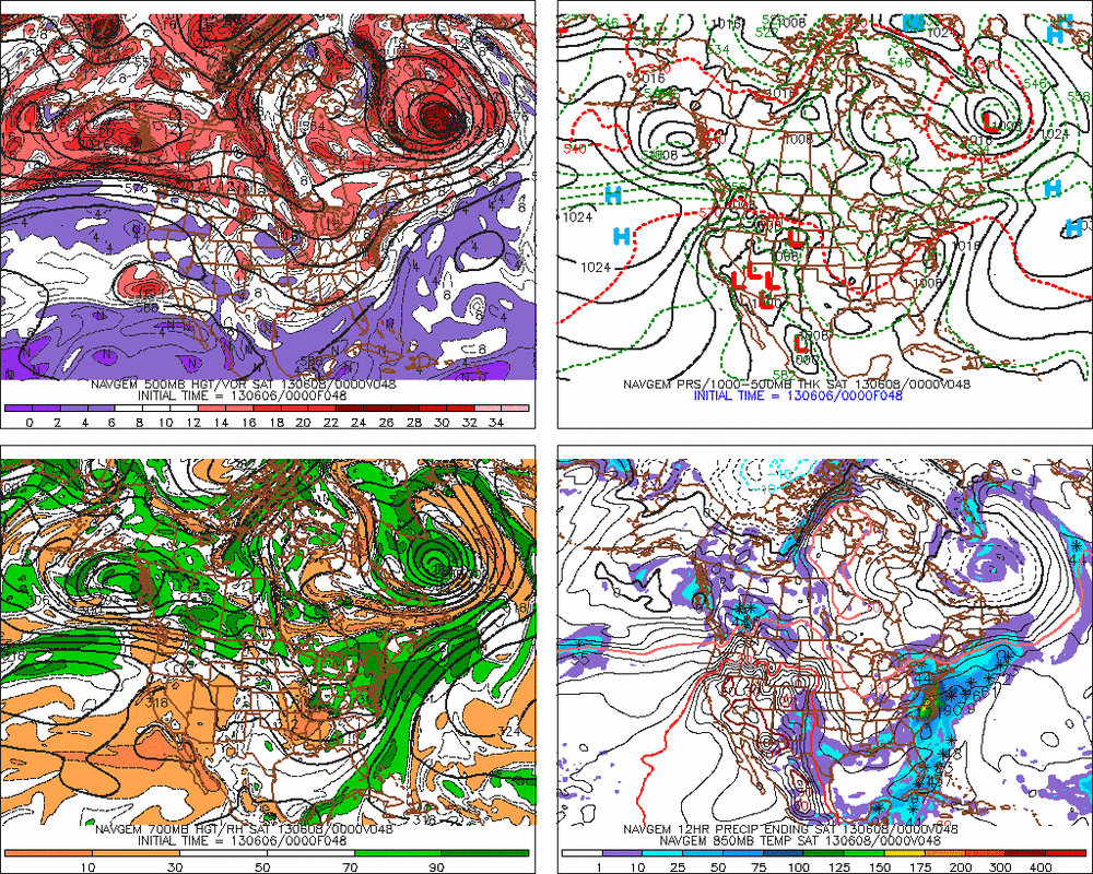
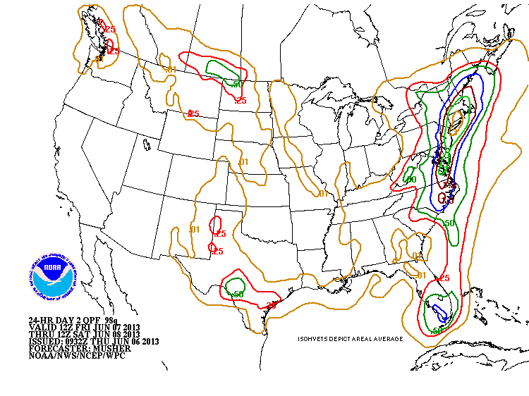
The colored 4 panel chart shows Navy No Gaps for Friday night...placing Andrea almost same location as Canadian.Just above...amounts of rain predicted....but as I have been pointing out....tropical moisture will vary greatly from place to place...so some areas will get 5" of rain...while others less than 1".
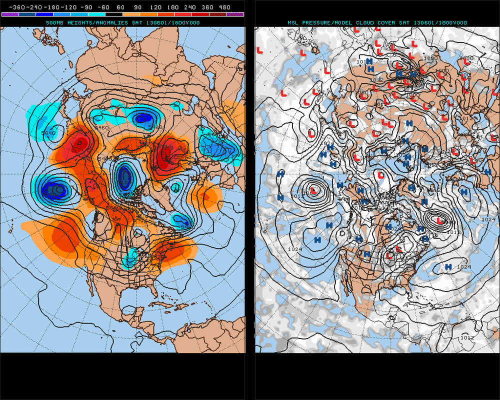
A look at the 500 Mb + surface/ clouds for next week....doesn't resemble June in many ways at all. This is going to be a very interesting summer. Later.

 RSS Feed
