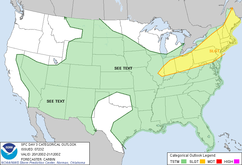
Temps will head for 100 in parts of the Northeast and Mid Atlantic today and Friday. The heat combined with higher humidity will make it the worst of this heat wave. A local thunderstorm is possible otherwise we wait until the weekend when a cold front will result in a large area of severe weather. The map below shows the area expected to be under the gun this Saturday.
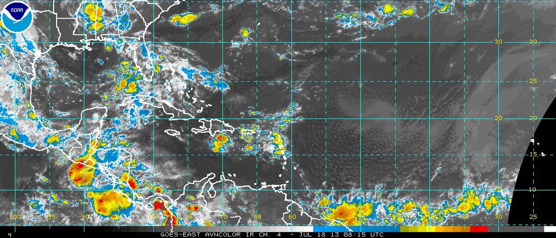
Tropics are quiet....a look at the satellite shows little if anything to be concerned about.
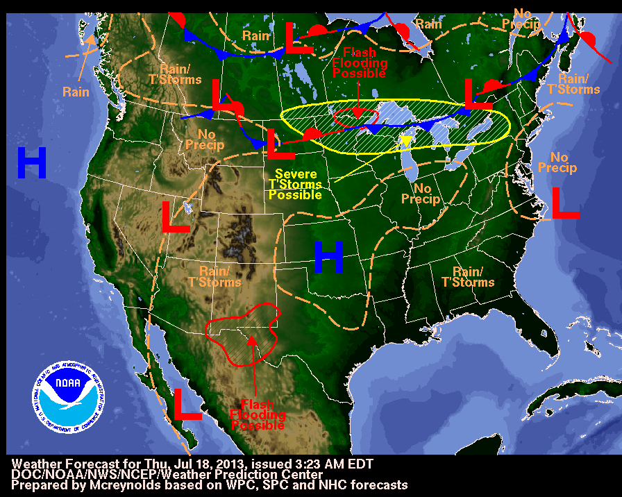
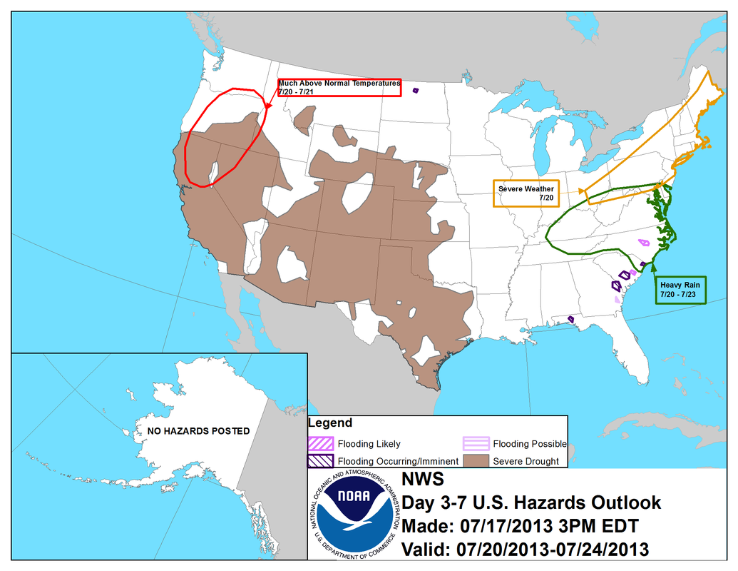
A look at today's weather map shows the area under the gun in the Upper Midwest.....that's the area The Northeast is to be concerned with this weekend. The following map is a map showing weather highlights over the next week or so.
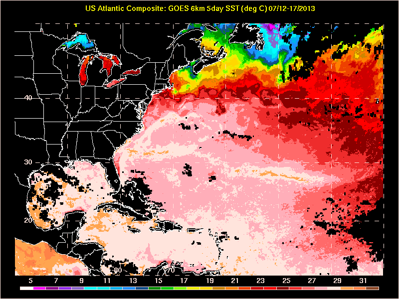
Lastly....a look at sea surface temps in The Atlantic. You can see the
gulf stream along the Southern New England Coast. Overall...warmer
than average. Keep cool. Later.
gulf stream along the Southern New England Coast. Overall...warmer
than average. Keep cool. Later.

 RSS Feed
