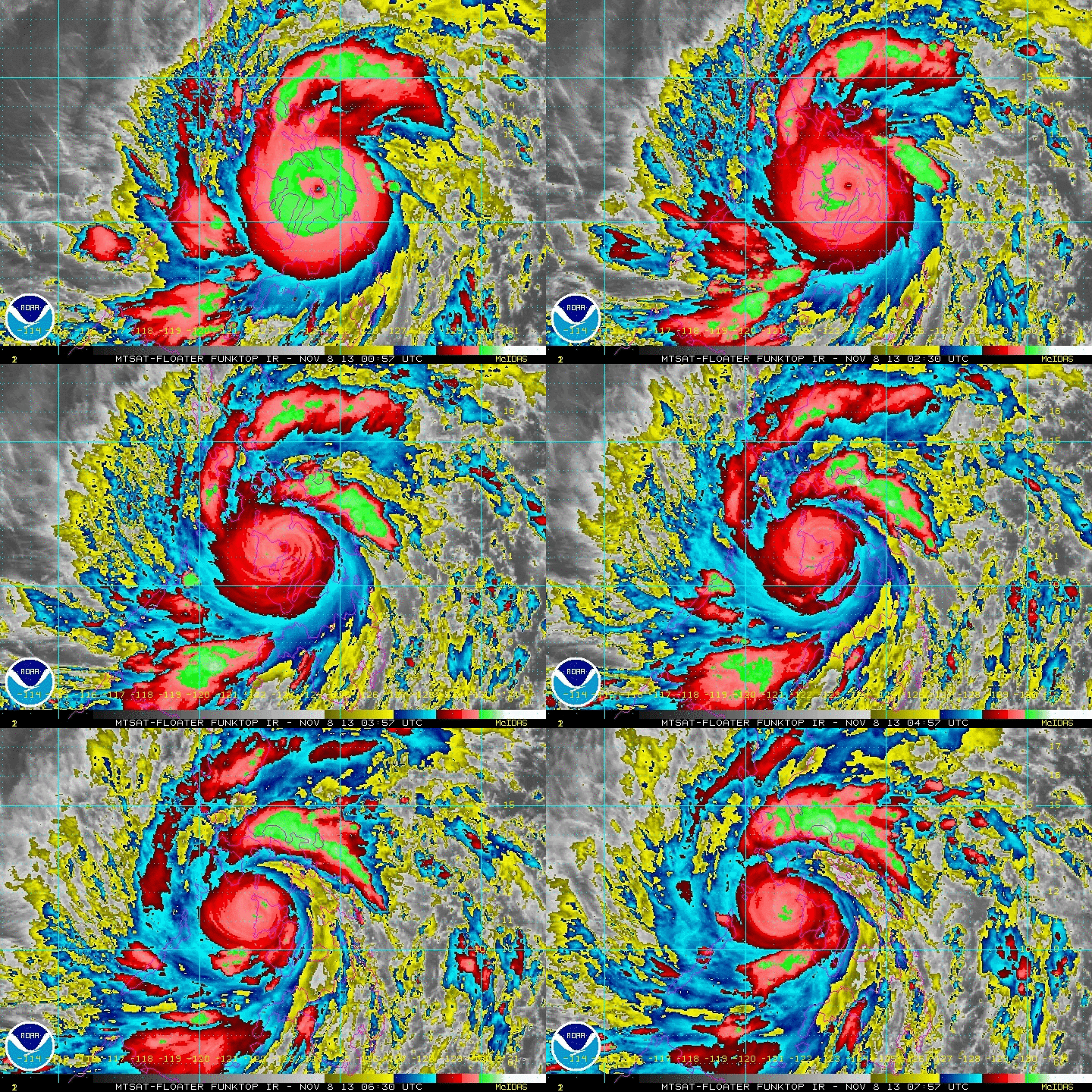
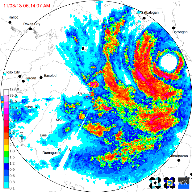
Typhoon Haiyan (Yolanda - local name) made landfall overnite in Southern Philippines with 195 mph winds. That makes it the strongest tropical cyclone on record to make a landfall with such force. The previous record was held by Hurricane Camille who hit Mississippi in 1969 with 190 mph winds. Below...radar from the Phillippines.
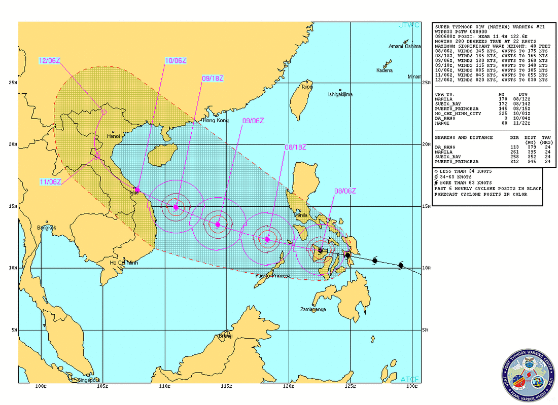
Radar above - clearly shows the eye - most destructive force around that eyewall. Below...expected path...which takes it into Vietnam by end of weekend.
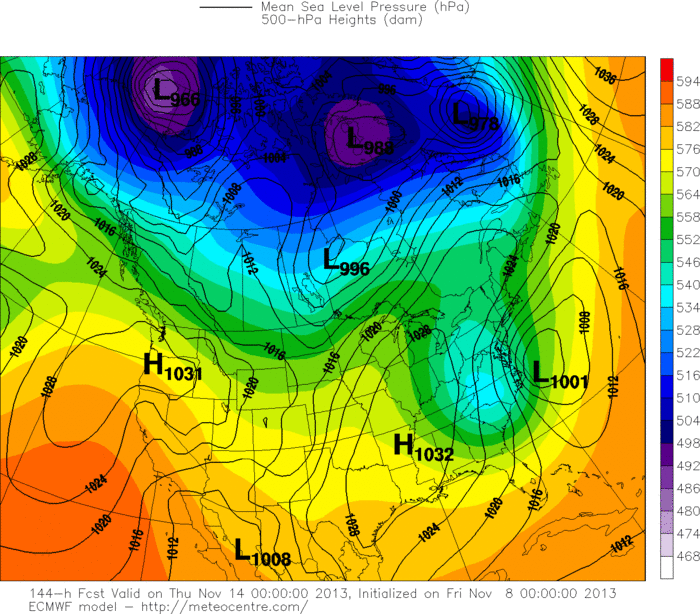
Finally..back at home...potential talk about storm next week: most models offshore....so right now..doesn't look like a big threat. Latest Euro shows the storm off Cape Hatteras Wed.nite...in this location there is only a 50/50 chance that it could affect The Northeast. Later.


 RSS Feed
