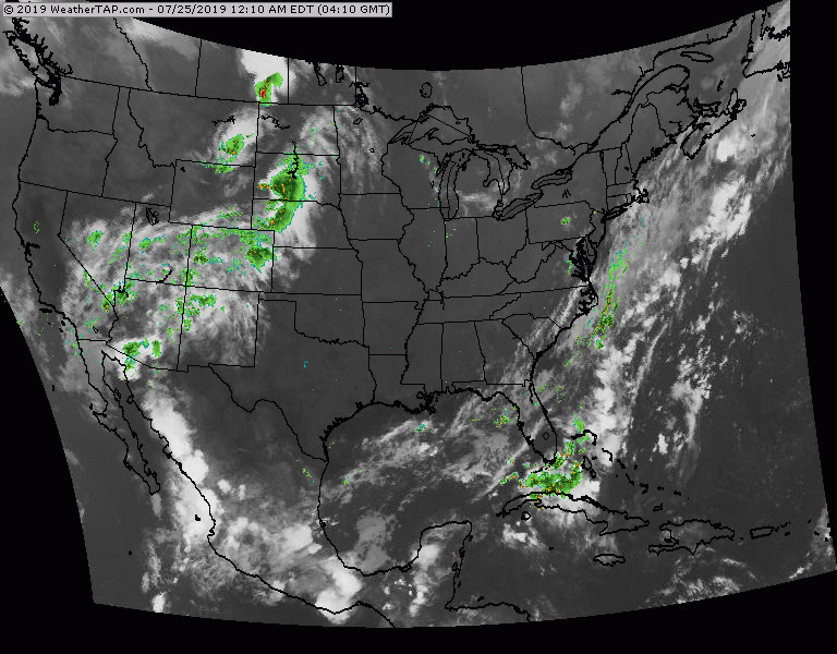
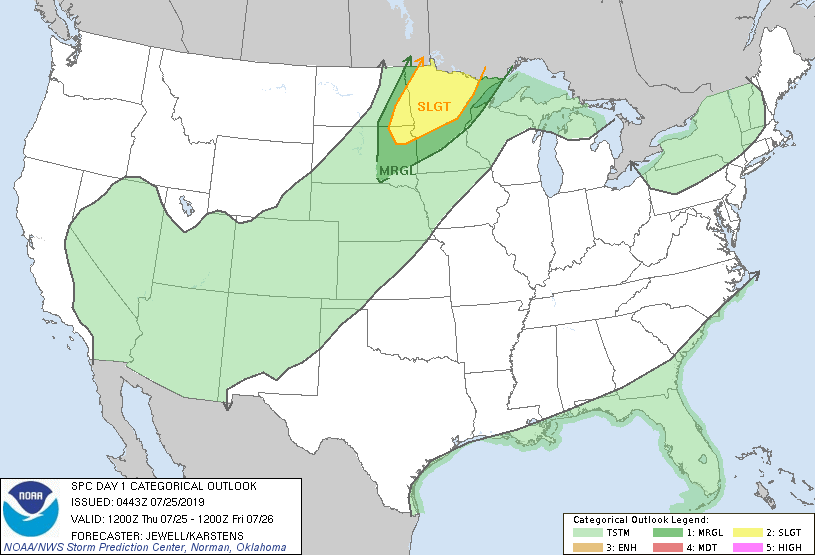
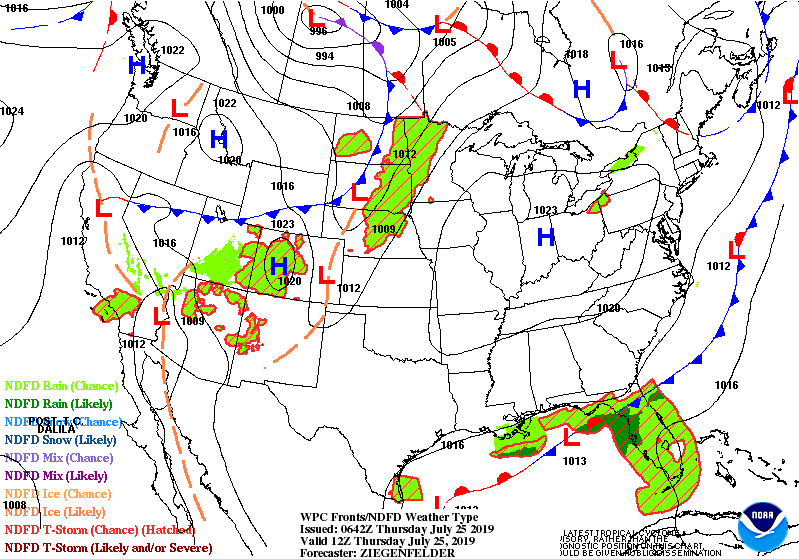
Satellite and radar show showers and storms over Florida...and from the No. Plains through Rockies and SOuthwest....otherwise pretty typical of this time of year. Below - today's risk of severe weather in dark green and yellow.
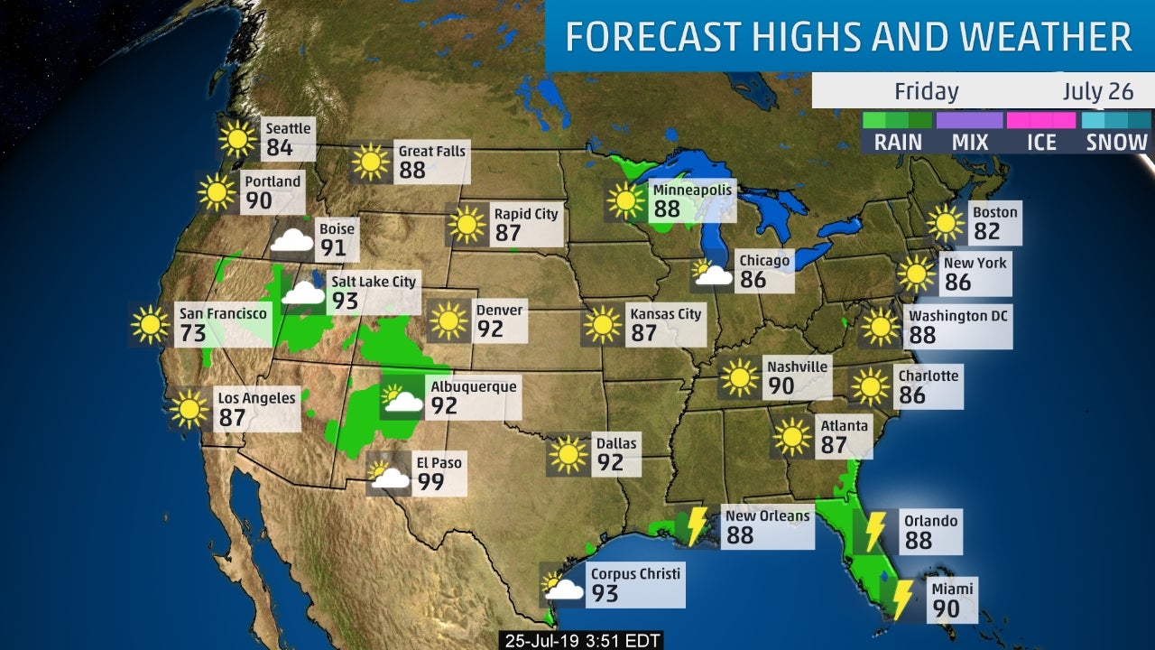
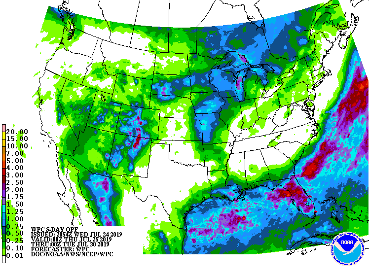
below - snapshot weather for Friday followed by rainfall projections through Monday.
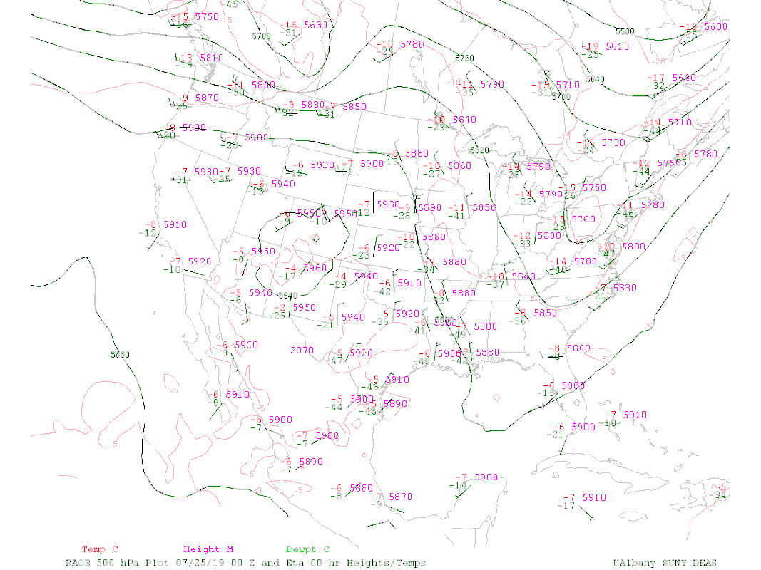
Animated maps below - followed by current upper air wind flow. That upper flow shows trof over East - keeping humidity and temps lower.
Lastly - tropical watch.....slight chance of something forming in the Gulf.
Be safe.
Be safe.

 RSS Feed
