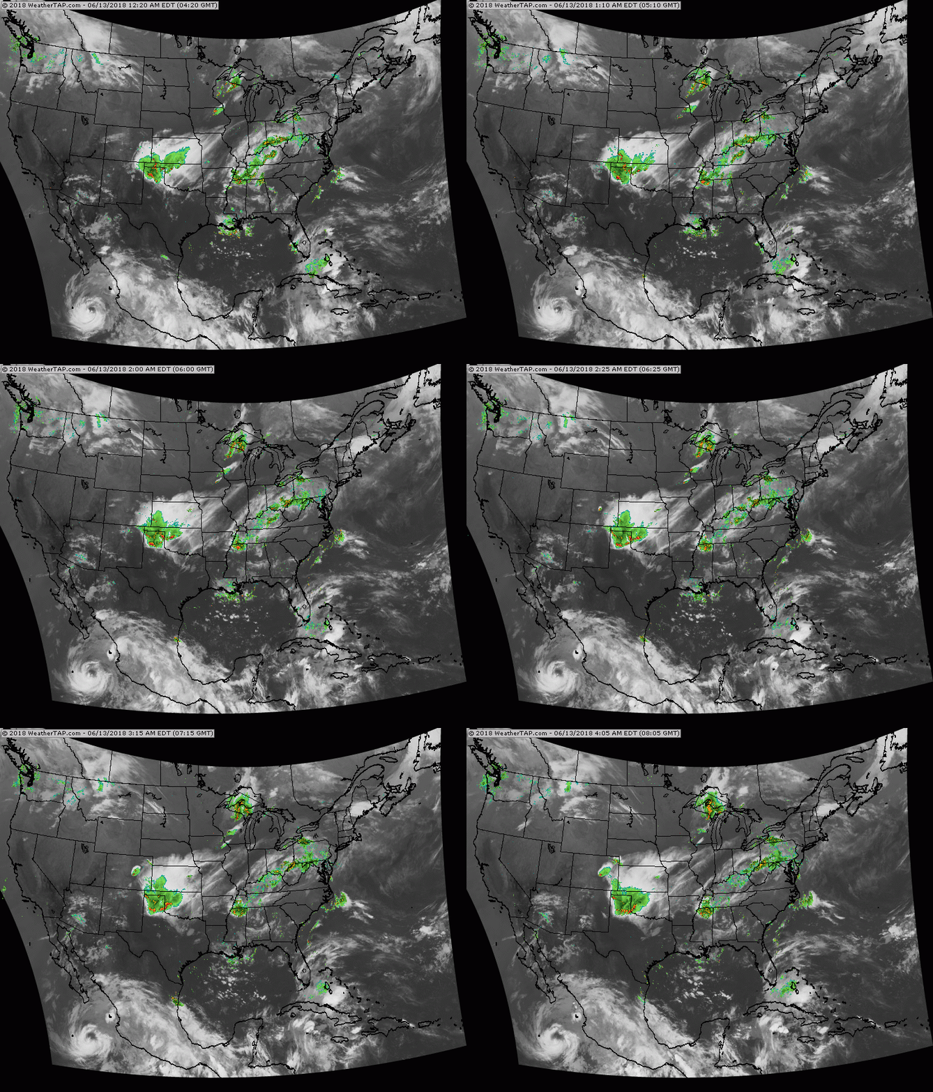
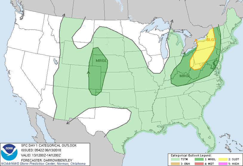
Satellite/radar show showers and thunderstorms headed for the East Coast....and over The Southern Plains. Hurricane Bud in lower left corner...drifting north. Below - today's risk of severe weather in dark green and yellow.
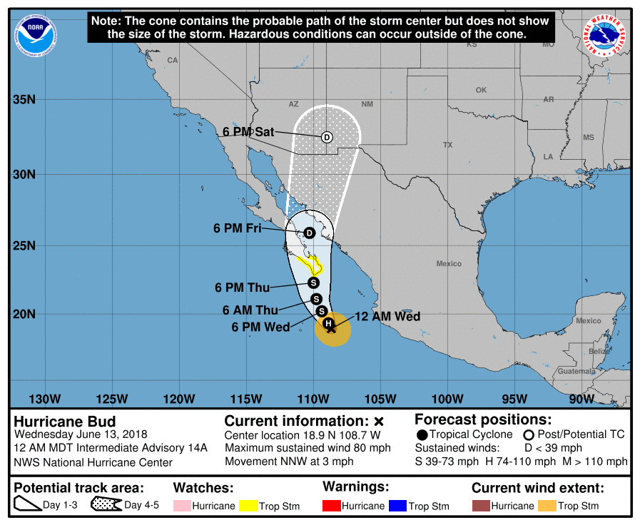
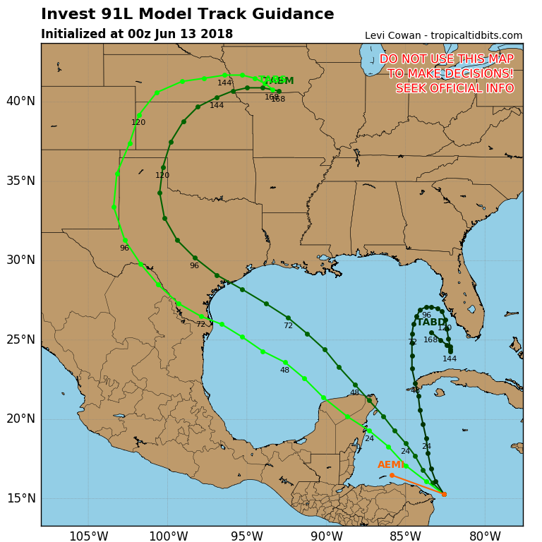
Below - track of Hurricane Bud in the Pacific...and possibly a new tropical disturbance moving toward the Gulf of Mexico...although that does not look too promising.
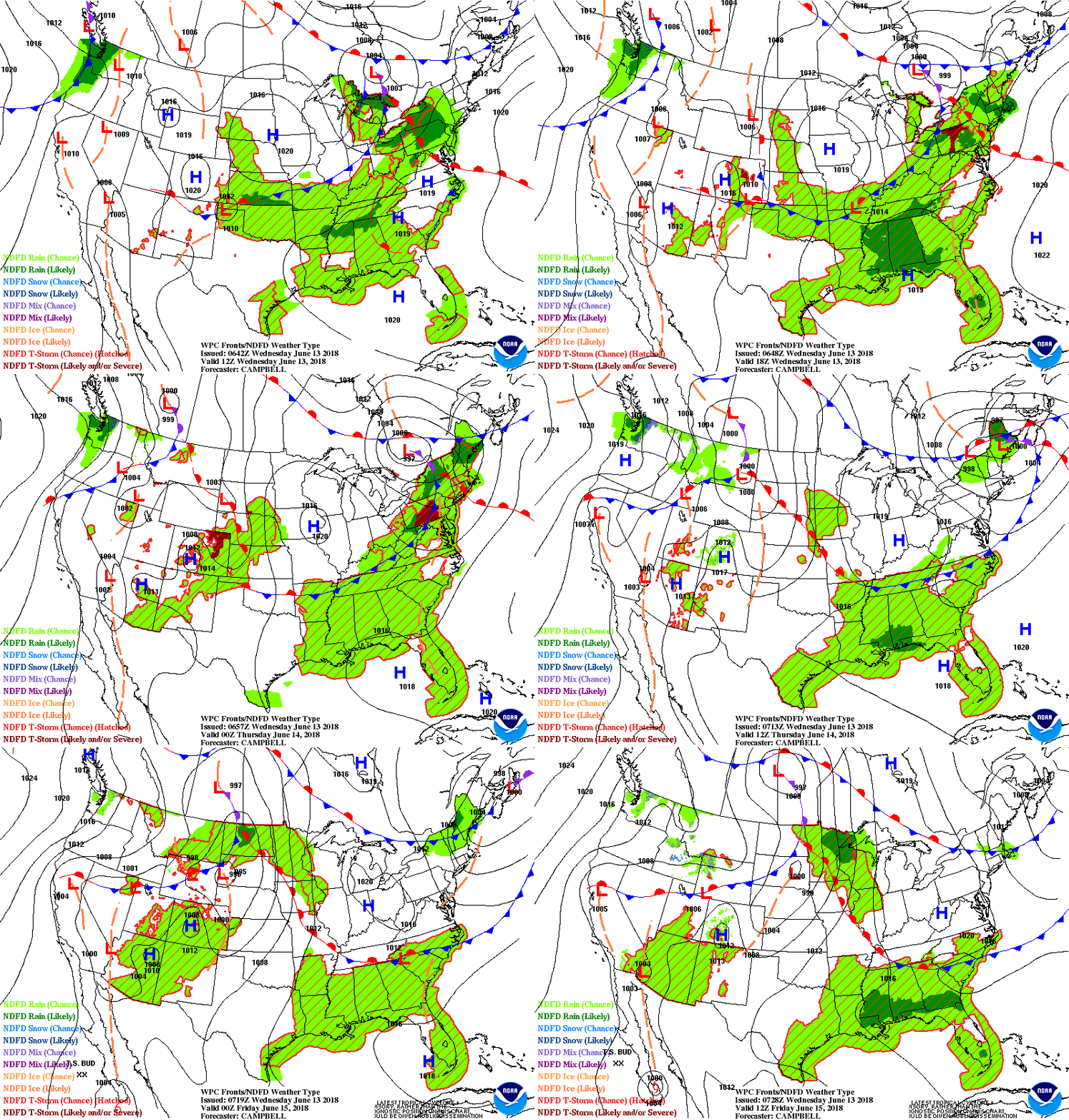
Animated maps below for the next 2 days. Trend is for warmer weather to build from Central U.S. eastward toward the east coast by late weekend sending temps into the 90s .
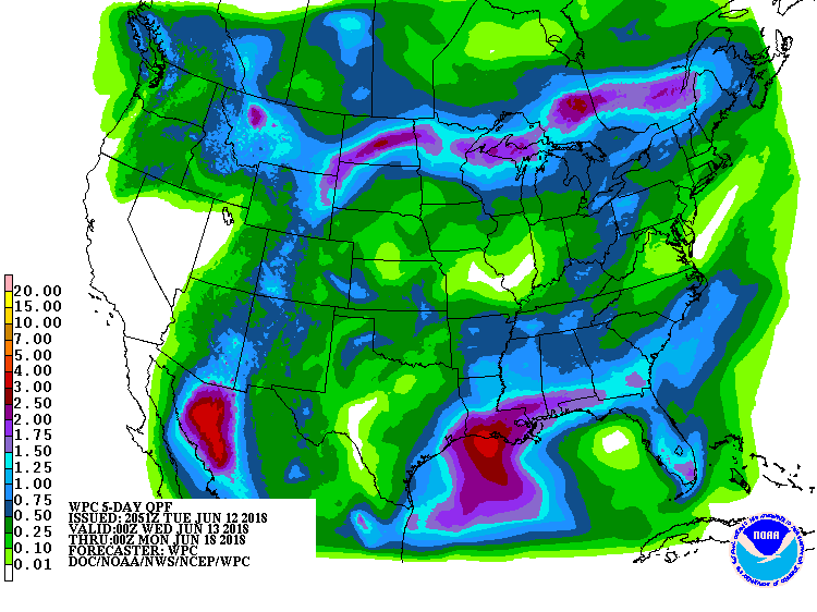
Following - rainfall amounts for the next 5 days.....followed by lightning strikes as of early Wednesday morning. Be safe.

 RSS Feed
