
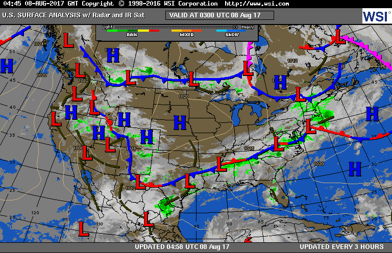
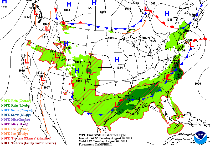
Satellite/radar shows cool front along east coast to Gulf States...where it will stall. Nice - center Nation....hot west. Below...today's weather map followed by animation for the next couple of days.
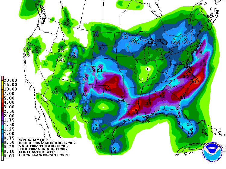
Below...rainfall amounts expected over the next 5 days - through Saturday.
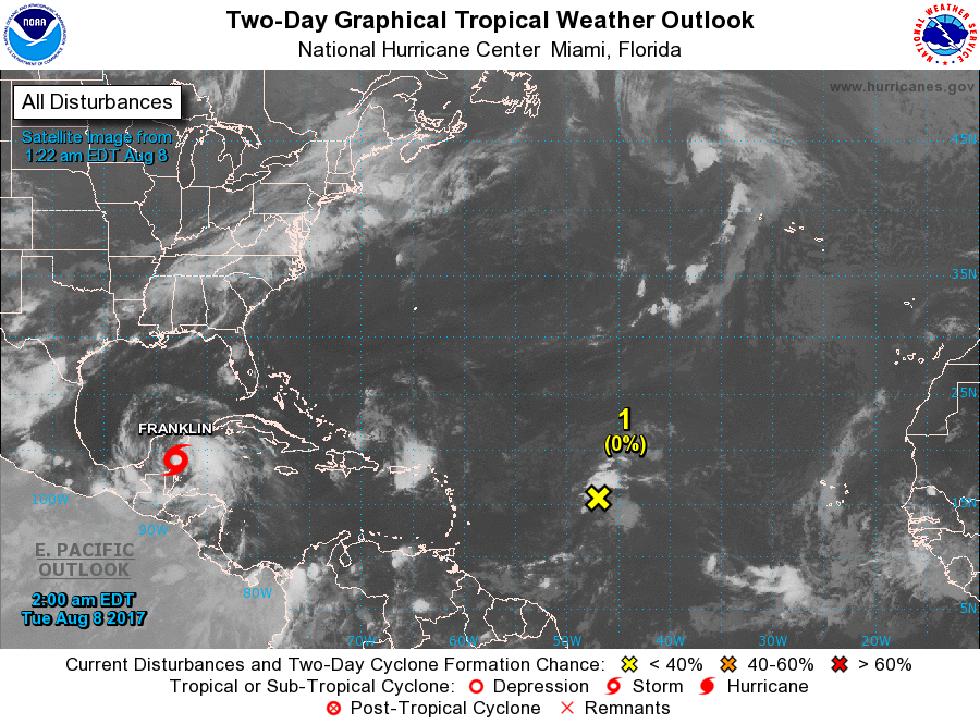
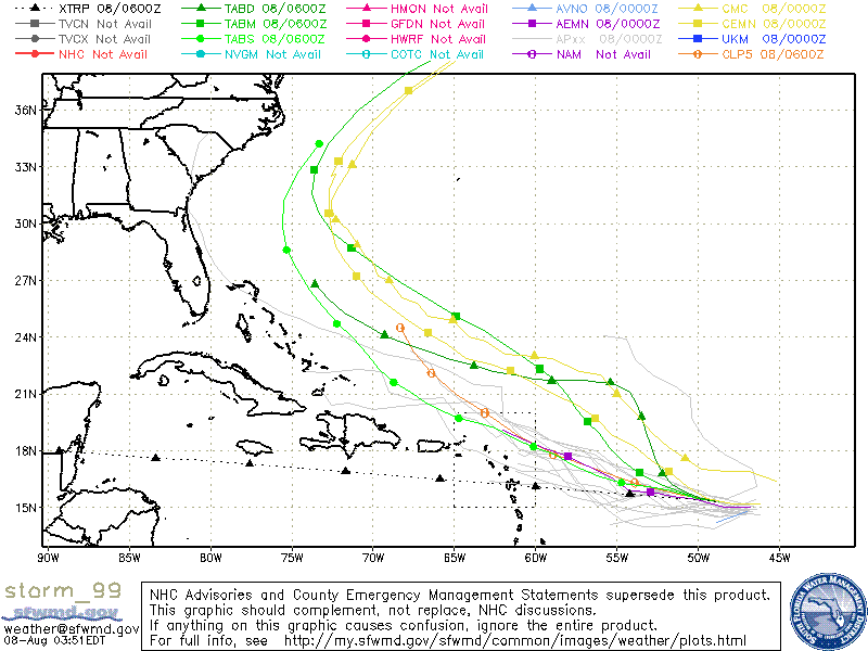
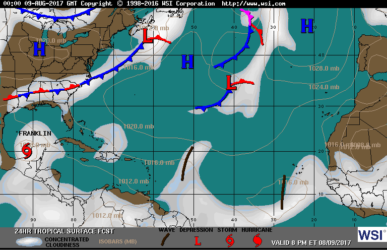
Above - Atlantic Basin....tropical storm Franklin over Yucatan with 60 mph winds..will move west. (1) tropical wave expected to form into a tropical storm and some models take it up East Coast - just offshore...so it bares watching. Below...satellite picture of Franklin......track of tropical wave.

Below - map showing tropical activity for Wednesday. Be safe.

 RSS Feed
