
Satellite-radar shows blothes of storms but with also a fair amount of dry weather. That will change this week....to more summerlike most places.
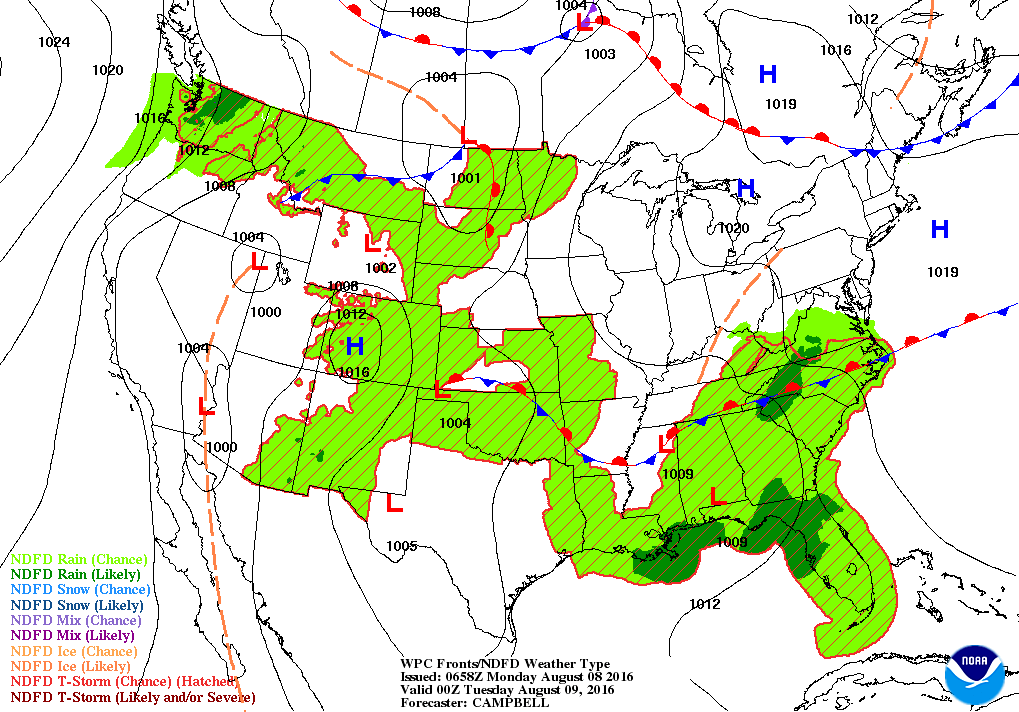
Stalled front over the south maintains unsettled - humid weather there. Still nice Lakes to Northeast. Showers and storms in Northerntier headed east.
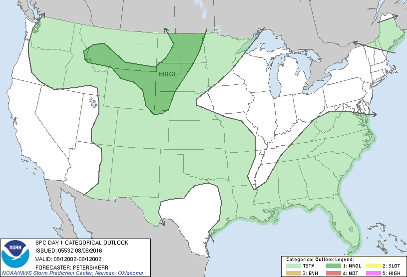
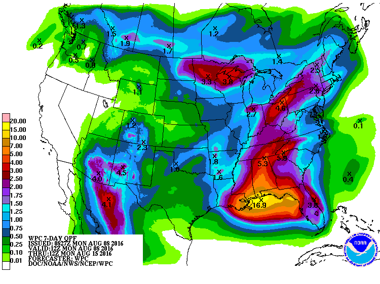
Today's severe threat is marginal in Dakotas. Below...amounts of rain for the next 7 days.
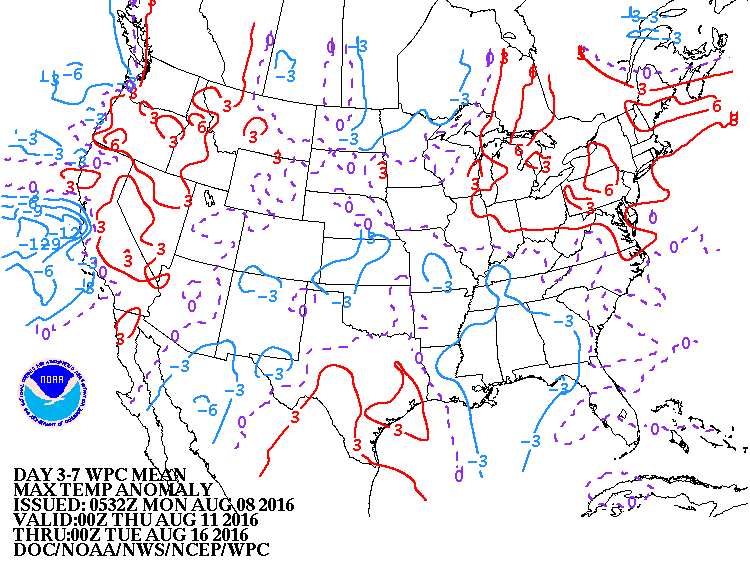
Below...how temperatures will average over next 7 days. Cool areas due to clouds and rain.
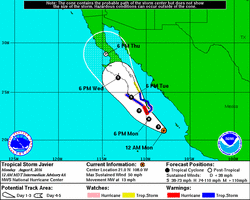
Tropical Storm Javier with 50 mph winds will become a hurricane and head up to Baja. In time it may bring much needed rain to Southern California. Below..latest satellite picture. Be Safe.


 RSS Feed
