
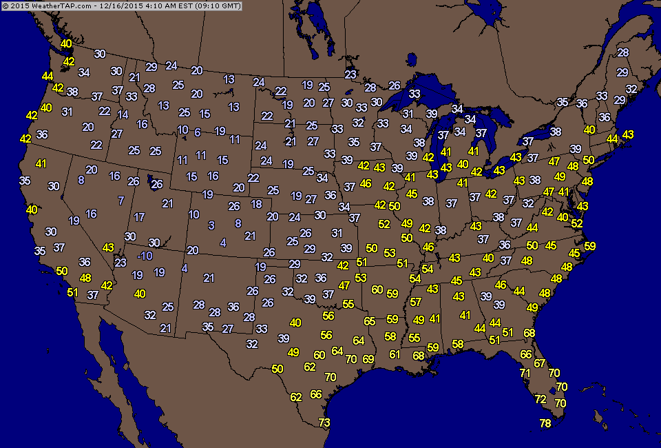
Satellite clearly shows winter storm over Central Plains headed northeast with snows for No. Plains and Upper Midwest. Dry air elsewhere.
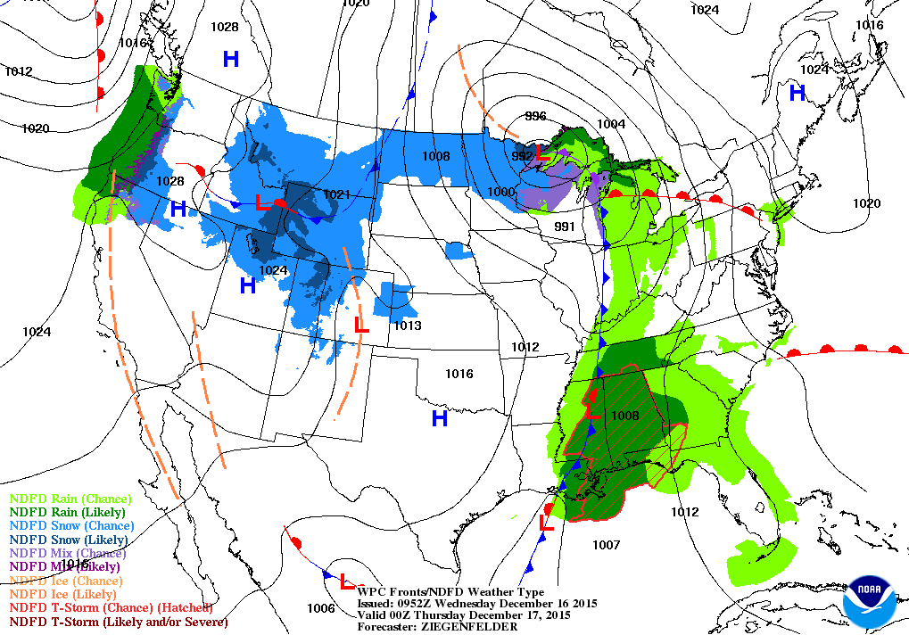
Midwestern snowstorm by tonight in over Lake Superior and moving into Canada. Rain heads east from Gulf States. Snow over the Rockies ......rain for Pacific Northwest. Below....morning temperatures showing the cold plunge of air in the Rockies...also headed east.
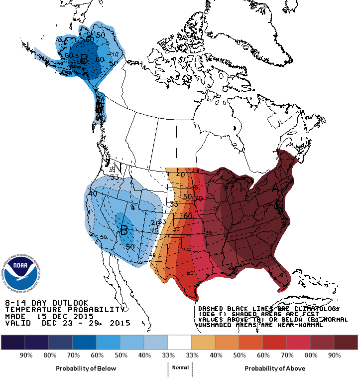
Map above shows how temperatures will average up through Dec. 29th. Almost the entire eastern 2/3 will be well above the average.
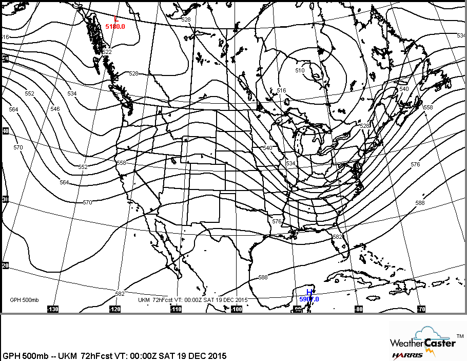
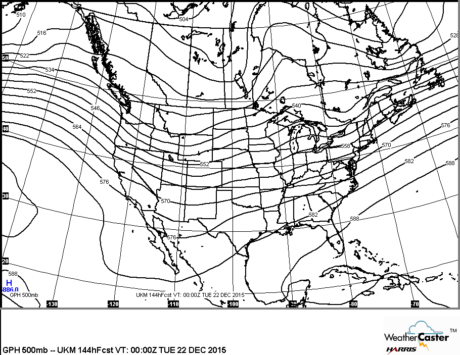
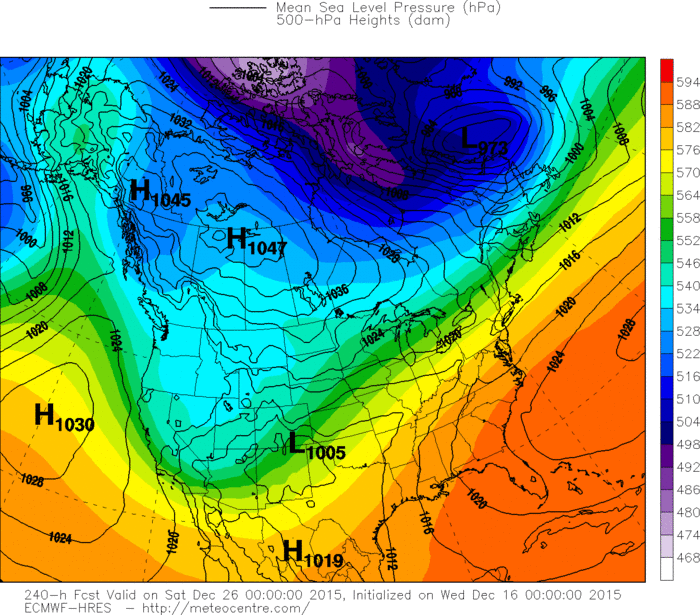
Above.....notice how the jet stream and upper flow changes from Friday...(left) to Monday (right). It's very progressive and
not allowing for arctic air to invade the Nation for any long period of time. Below....models showing Christmas Day. All are in agreement that it will be mild for much. Be safe/
not allowing for arctic air to invade the Nation for any long period of time. Below....models showing Christmas Day. All are in agreement that it will be mild for much. Be safe/


 RSS Feed
