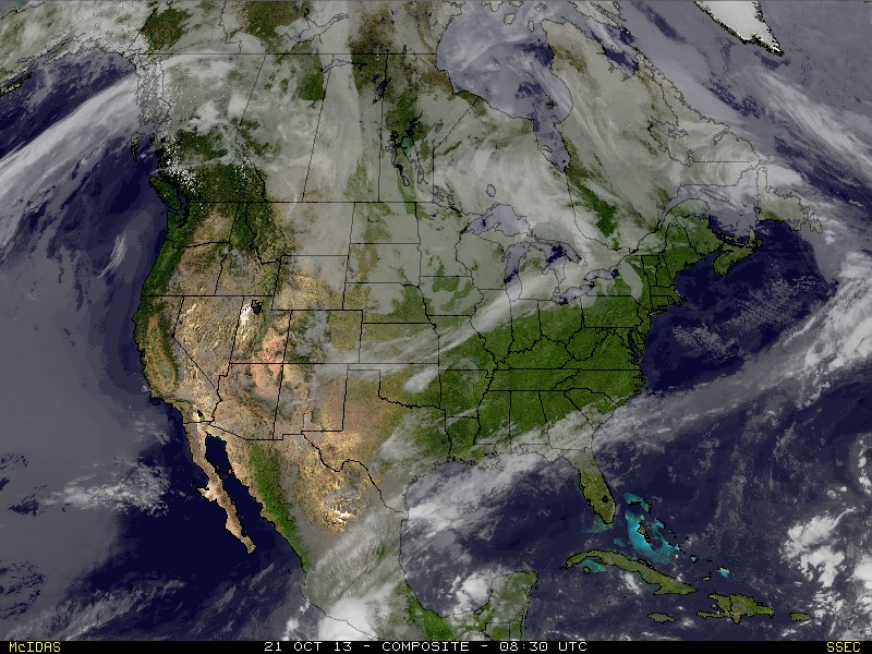
The bright line of white over the Great Lakes is the next cold front to swing off the East coast. Cold air moving in behind this front and that combined with a small low could bring some snow to parts of
The Northeast Wed- late or at night.
The Northeast Wed- late or at night.
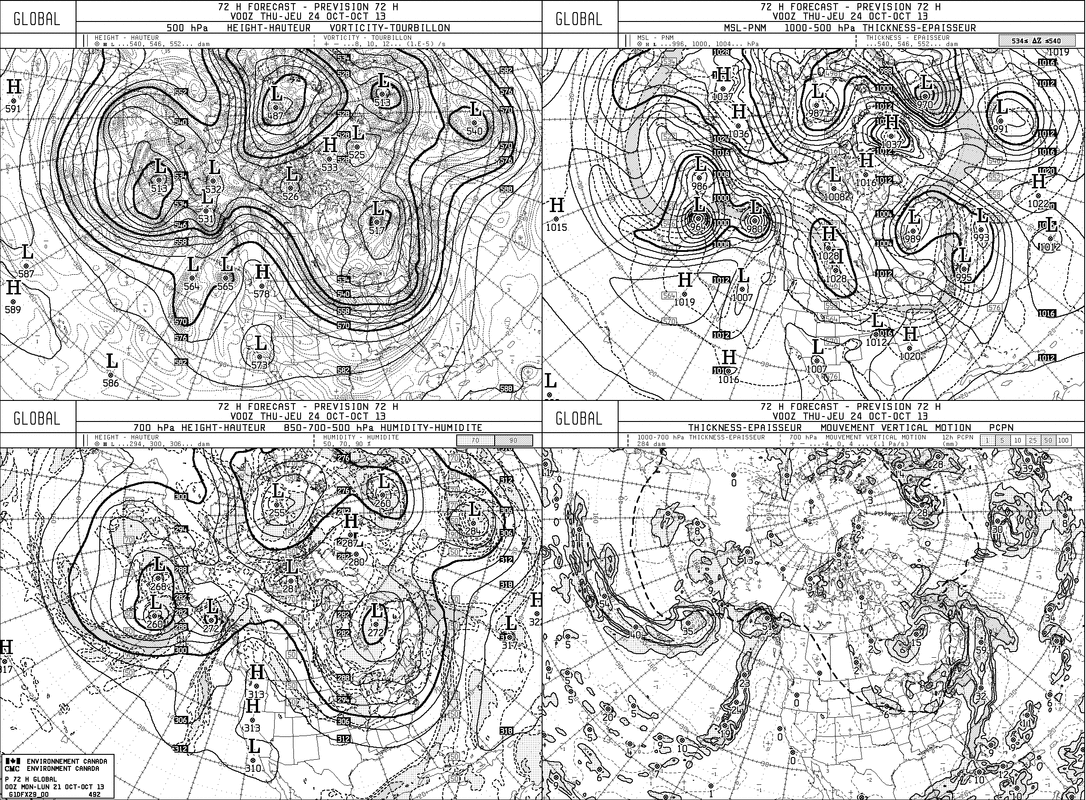
This is the Canadian Model for Wed.nite. Upper left...shows jet stream which is carving out a trof over the Eastern half of the Nation. Upper right shows that small low near Cape Cod which could bring some wet snow to higher elevations of New England.
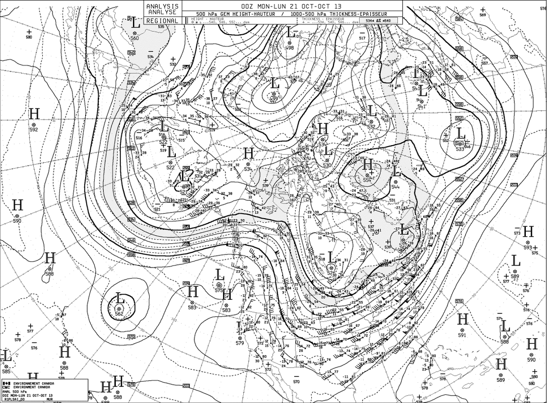
This is the current upper air chart. The jet is moving down the Rockies
and then out to The Carolinas. This trof will continue east and result in below normal temps for much of The Eastern Half of The Nation from mid week on. Things will moderate over the weekend. Later.
and then out to The Carolinas. This trof will continue east and result in below normal temps for much of The Eastern Half of The Nation from mid week on. Things will moderate over the weekend. Later.

 RSS Feed
