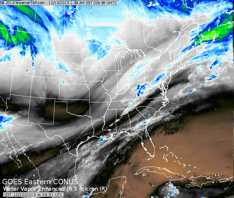
You can see in our water vapor satellite...the jet pushing south...and the streak moving northeast from The Virginias to New York. That color enhancement will result in 1 to 4" of snow from Washington Dc
to near Hartford, Ct. today...and quickly. Cold arctic air will follow for the rest of the week...with nothing but lake effect snows.
to near Hartford, Ct. today...and quickly. Cold arctic air will follow for the rest of the week...with nothing but lake effect snows.
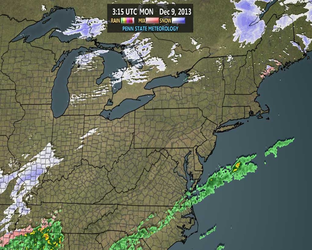
This radar should be animated...in any event that snow in the Ohio
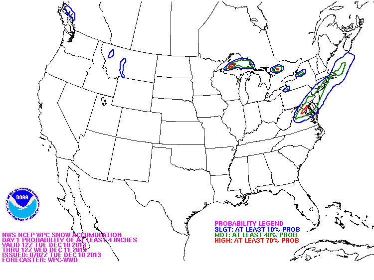
Valley is already moving in along the mid At. coast. Below...you will see the area most likely to receive 4" or more of snow. Blue represents the slightest chance....then each color within...shows an increasing chance.
Valley is already moving in along the mid At. coast. Below...you will see the area most likely to receive 4" or more of snow. Blue represents the slightest chance....then each color within...shows an increasing chance.

 RSS Feed
