
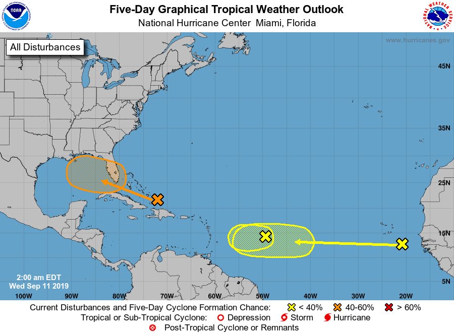
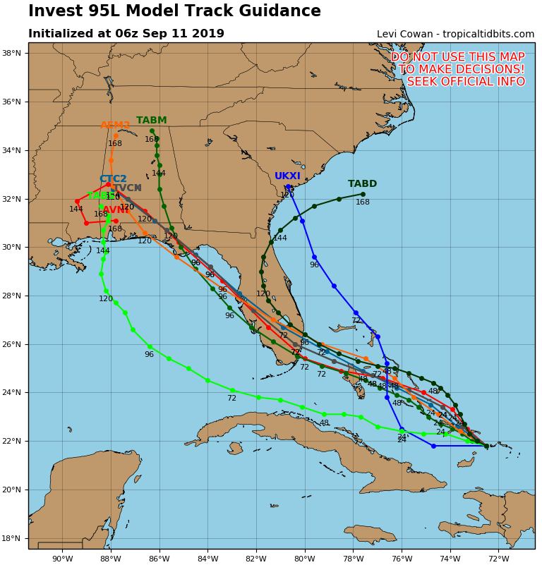
Satellite + radar shows strong storms in Upper Midwest....Northeast. Eastern Bahamas has a disturbance that could form into a tropical cyclone. Below - Atlantic hurricane map & track of Bahamas low.
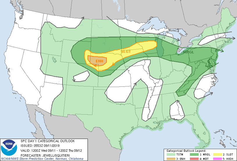
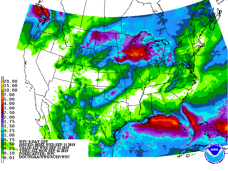
Below...today's risk of severe weather - dark green ..yellow - tan...followed by animated maps...and rainfall thru Sunday.
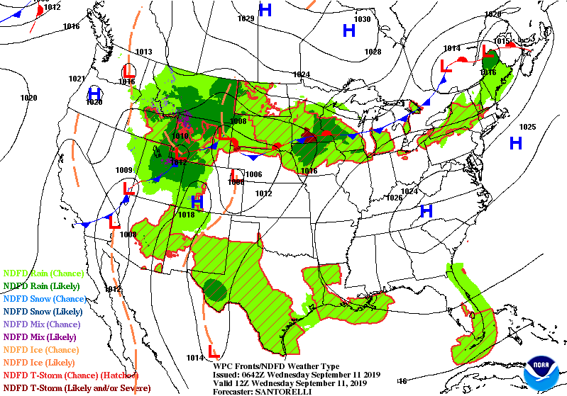
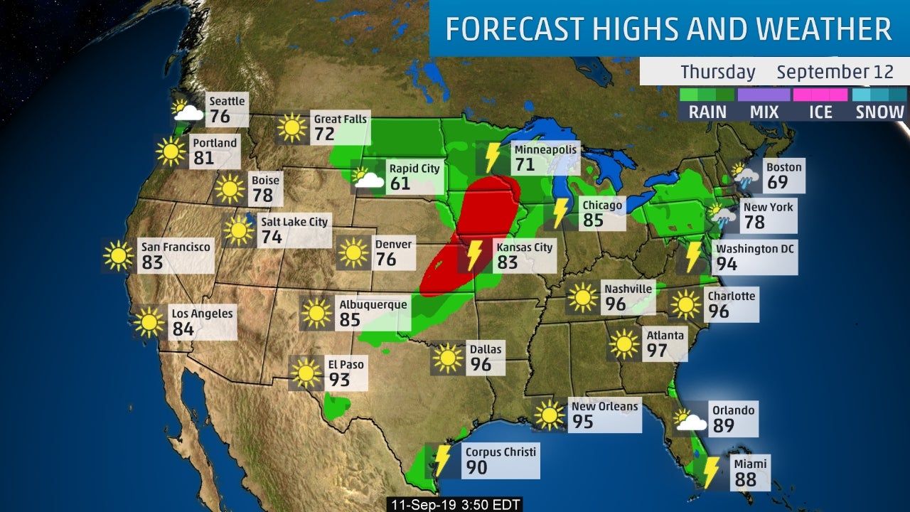
Below - snapshot weather for Thursday. Be safe.

 RSS Feed
