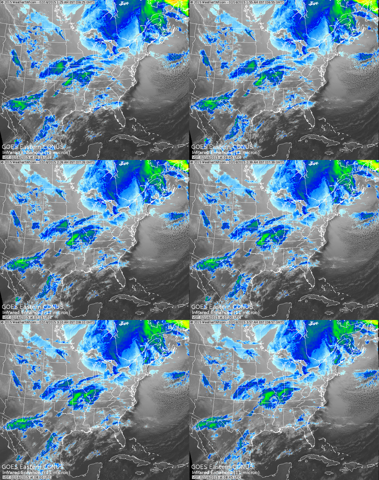
Another winter storm pulling across The South with ice and snow north thru the Tennessee & Ohio Valleys. Storm will bring heavy snow as far north today and tonight as Washington- Baltimore - Richmond Va.
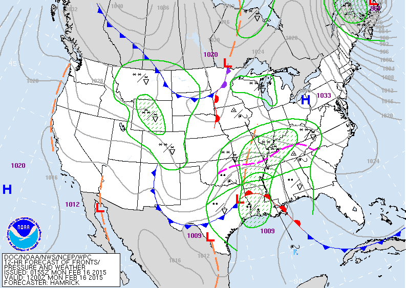
Map for today...shows low moving into Louisiana with the wintry shield to the north. This storm has Gulf moisture so folks in Ohio Valley to Mid Atlantic will see greater than
8" of snow.
8" of snow.
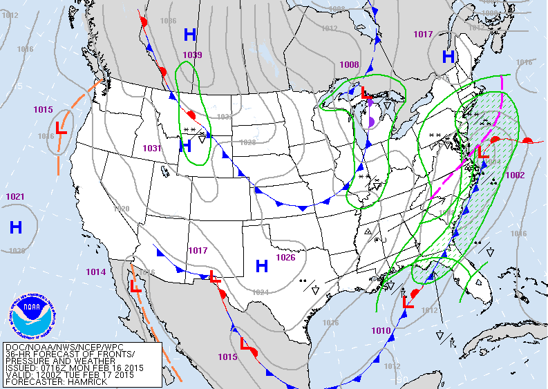
This map is valid for Tuesday. The storm is off Virginia
and will move offshore in the afternoon. The steady snow makes it to southern-most New England....but this time much of New England gets spared. Long Island...NYC
on south could see 2"-4" of snow. Cold front in the Great Lakes means big business. That front will be followed by another blast of arctic air that could be even colder than
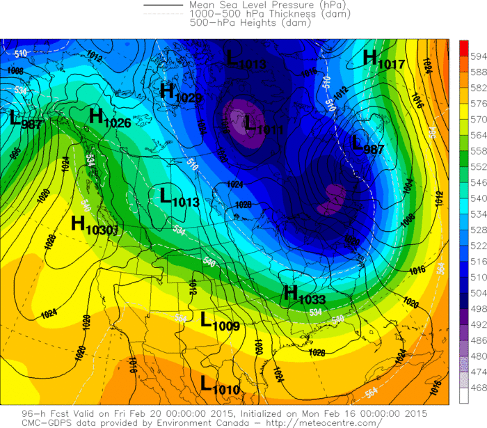
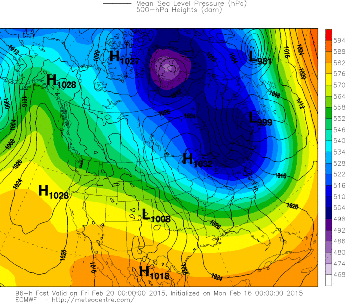
the present in the East. Want warm weather...go west young man. Below...The Canadian and Euro models for
late this week...both showing brutally cold air in the east.
Be safe...later.

 RSS Feed
