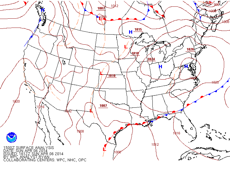
For now, we have a very large area of high pressure sitting over much of the Northeast. At 1024mb it's sitting directly above DC, with 1020mb spreading out from New Hampshire down into North Carolina and up through Illinois. Much of the area will be seeing under 10% cloud cover for today.
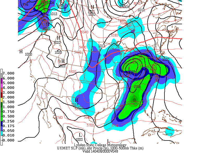
Tomorrow though we'll see the clouds slowly build up, and by tomorrow night for the NY metro area we'll see the rain begin to fall with many areas receiving anywhere between 1-2", slightly more north and south of NYC (1.5-2.5, 3" locally), with NYC itself receiving around 1-1.5".
Once that moves out though Tuesday the clouds will begin to clear out and on Wednesday and Thursday we'll have plenty of sunshine, and on Thursday much of the Northeast will see temps in the lower 60's. Along with the sunny skies it'll make for a beautiful day all around.

Seems like the weather finally realized we're in April now. So some showers, but upper 50's throughout the week's a much welcome sight. Those temps seem like they'll stick around even into next weekend. Enjoy it.
-Mike Merin
-Mike Merin

 RSS Feed
