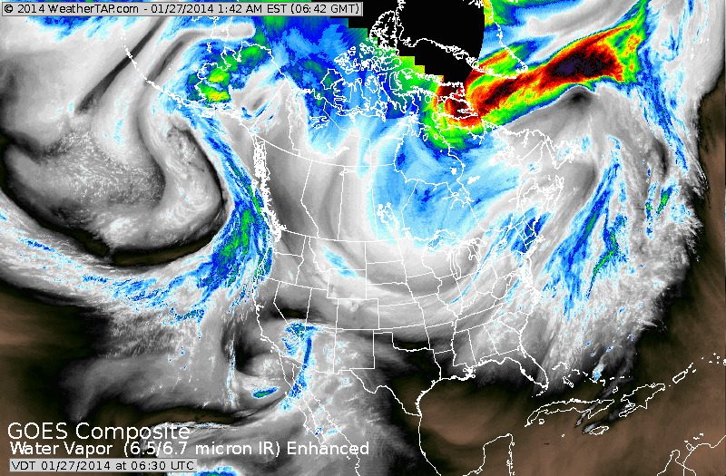
SATELLITE PICTURE SHOWS THE NEXT COLD FRONT HEADED EAST.
COLD AIR RETURNS EAST OF MISSISSIPPI VALLEY THRU MID WEEK. NOTICE THE SWIRL COMING OUT OF THE SOUTHWEST. FIRST TIME IN A LONG TIME THAT WE HAVE ENERGY IN THE SOUTHERN BRANCH.
COULD THAT SPARK AN EAST COAST STORM LATE THIS WEEK...AND COASTAL AREAS WILL HAVE TO WATCH ?
COLD AIR RETURNS EAST OF MISSISSIPPI VALLEY THRU MID WEEK. NOTICE THE SWIRL COMING OUT OF THE SOUTHWEST. FIRST TIME IN A LONG TIME THAT WE HAVE ENERGY IN THE SOUTHERN BRANCH.
COULD THAT SPARK AN EAST COAST STORM LATE THIS WEEK...AND COASTAL AREAS WILL HAVE TO WATCH ?
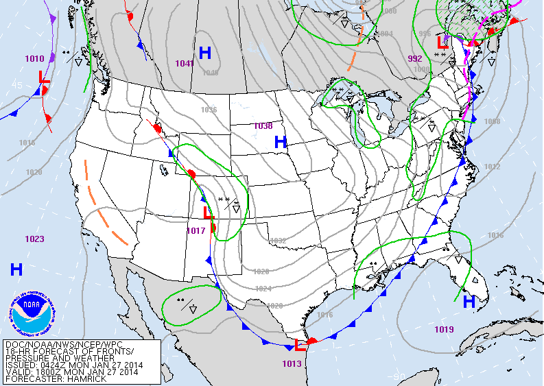
ABOVE....TODAY'S MAP. COLD FRONT SWINGING OFF EAST COAST...COLD HIGH PRESSURE OVER PLAINS. LOW IN ROCKIES WILL HEAD EAST AND WILL RESULT IN AN OFFSHORE LOW...THAT COULD COME CLOSE TO COASTAL SECTIONS AFTER WEDNESDAY.
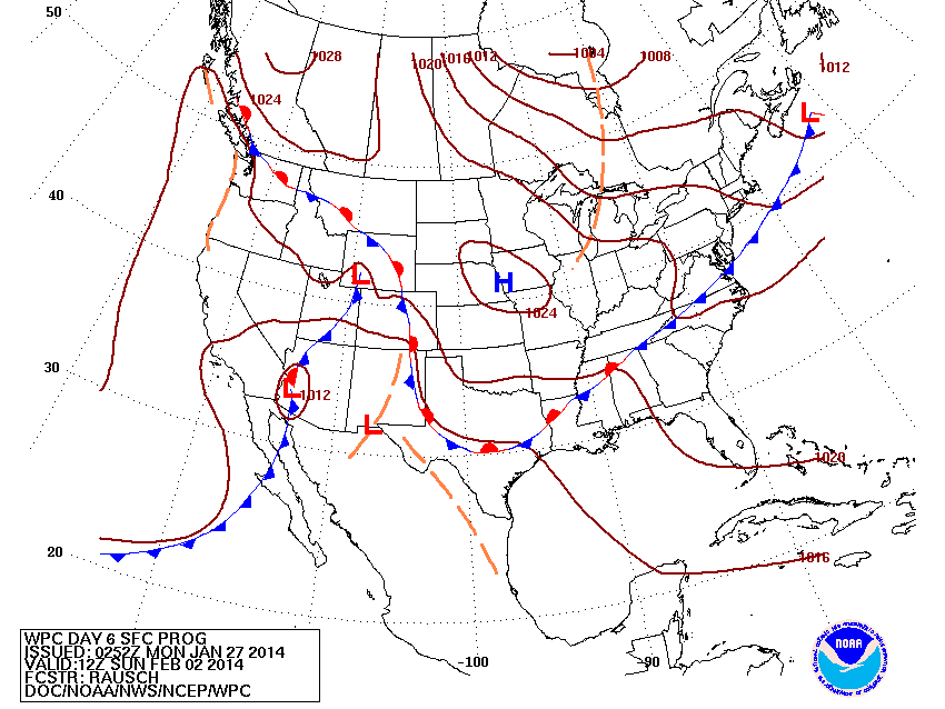
THIS IS THE NATIONAL WEATHER SERVICE MAP FOR SUPERBOWL SUNDAY. IT WOULD INDICATE FAIR..CHILLY WEATHER. NO COMMENT.
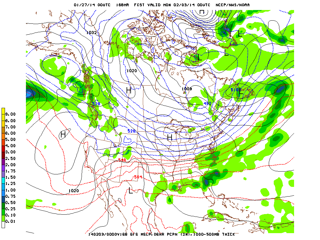
THIS IS THE GFS MODEL FOR SUPERBOWL SUNDAY...INDICATING FAIR AND COLD WEATHER. NO COMMENT. LATER.

 RSS Feed
