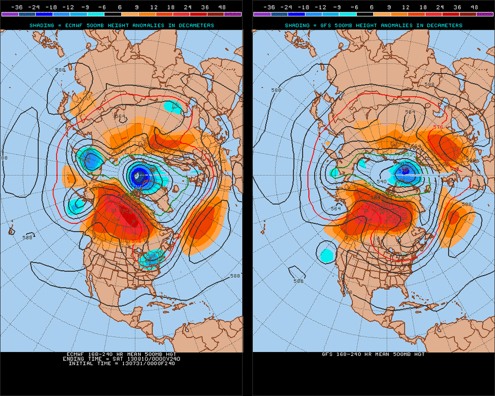
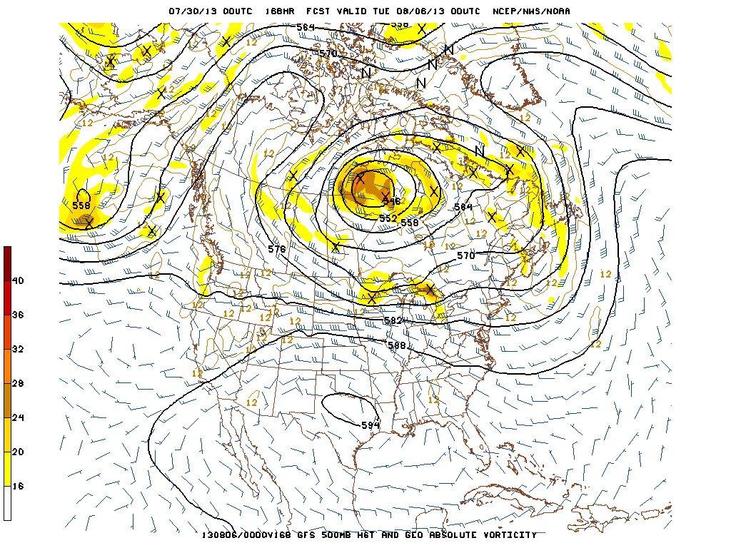
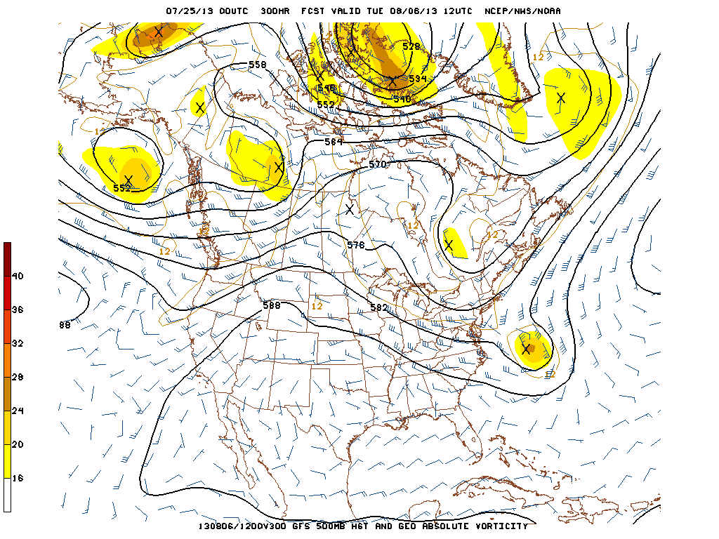
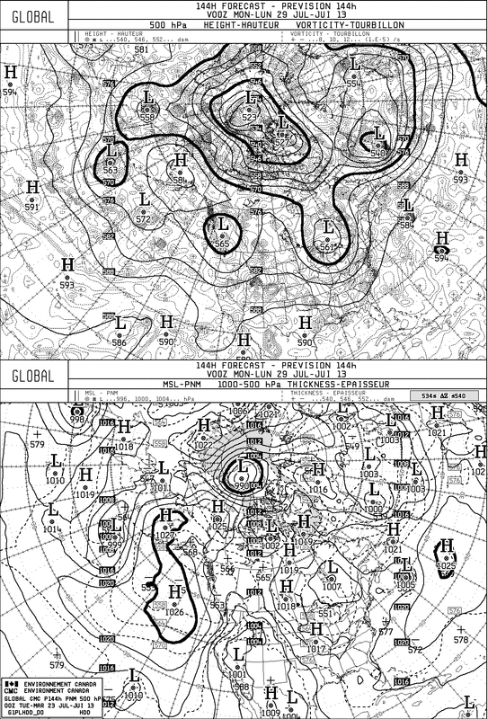
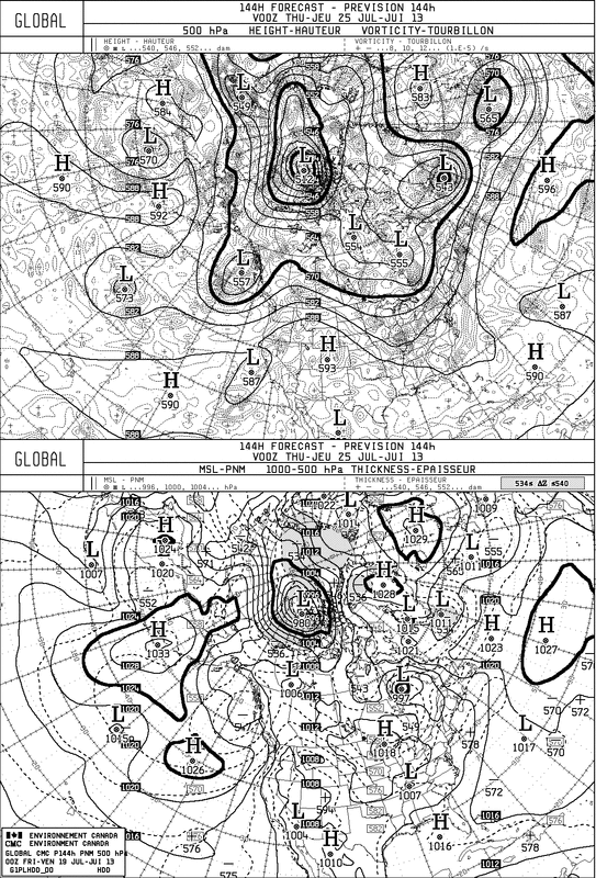
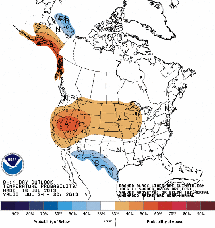
Not a hot weather fan, happy to see July go. Many cities will wind up being in the top 5 for the hottest July ever. The overall pattern will be changing...but until late weekend and next week. A look at the Euro Model for next 10 days indicate below normal for NE.....well above for Western Canada.
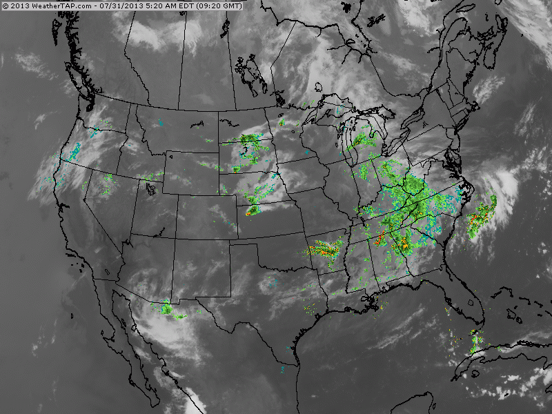
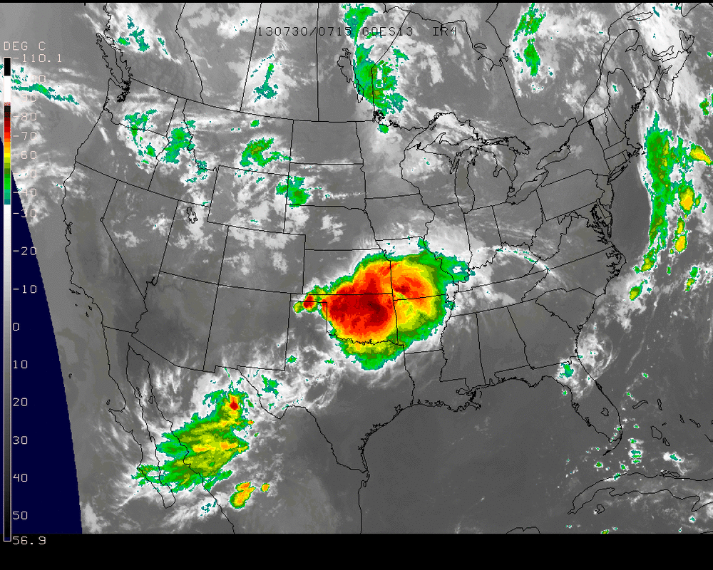
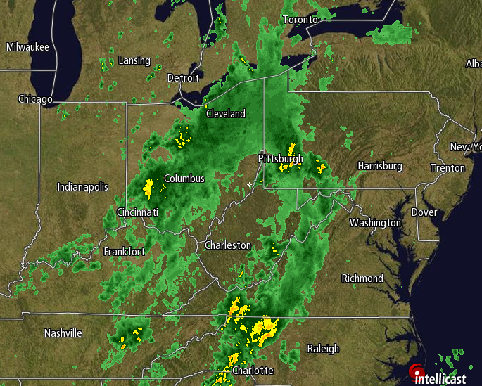
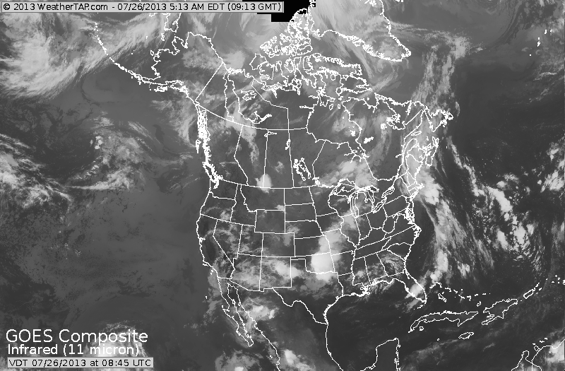
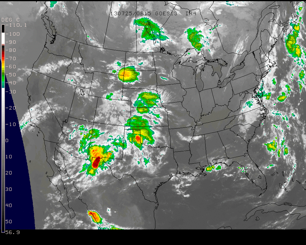
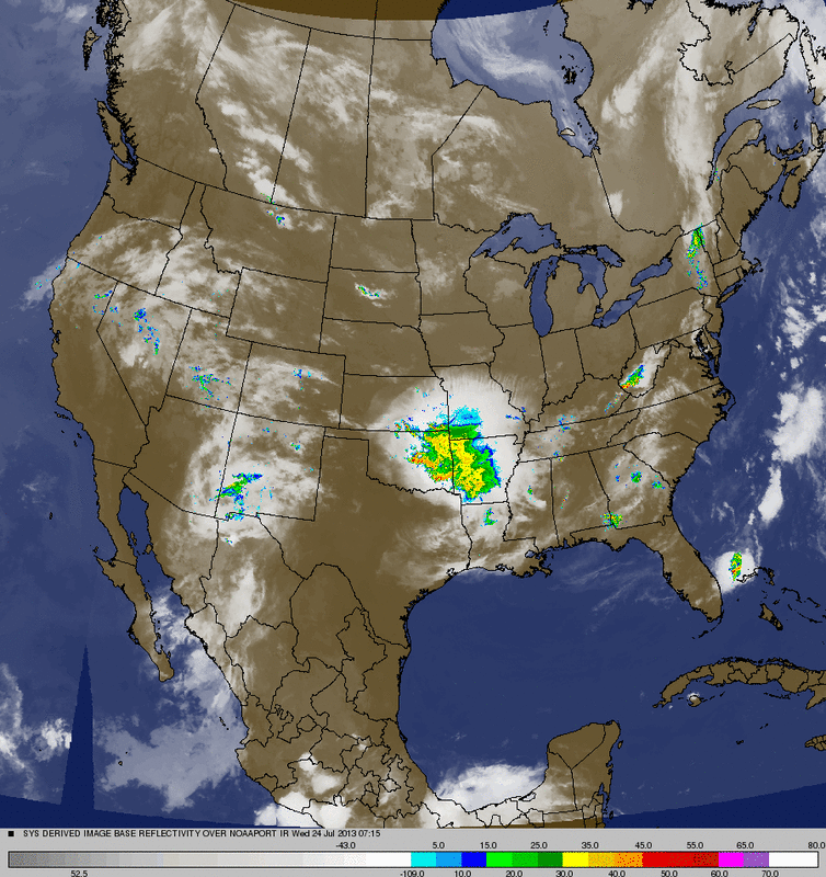
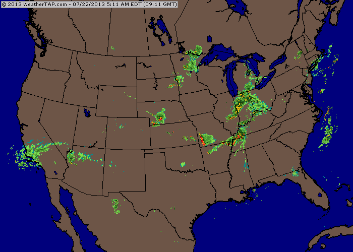
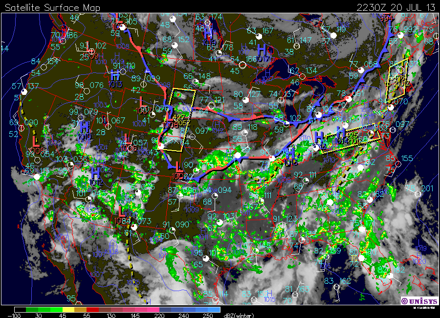
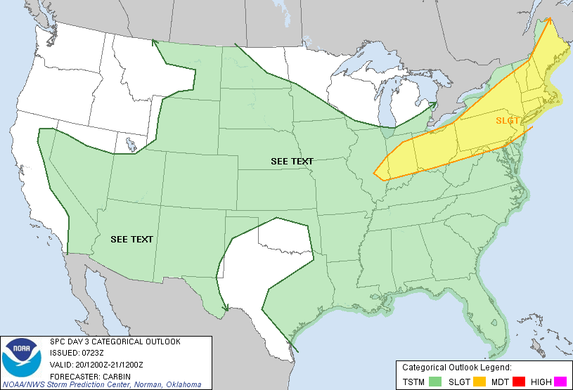
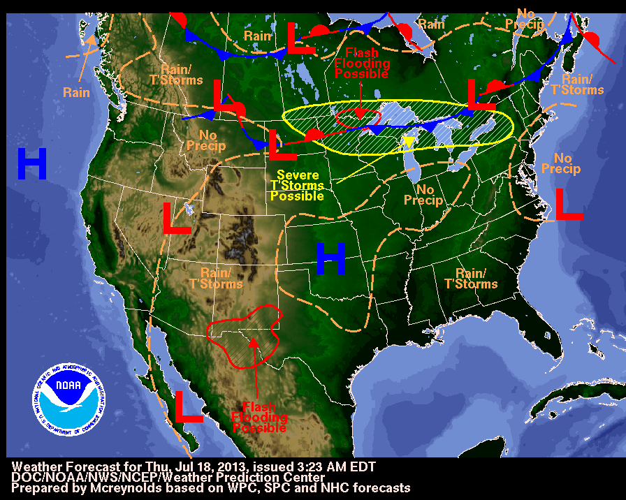
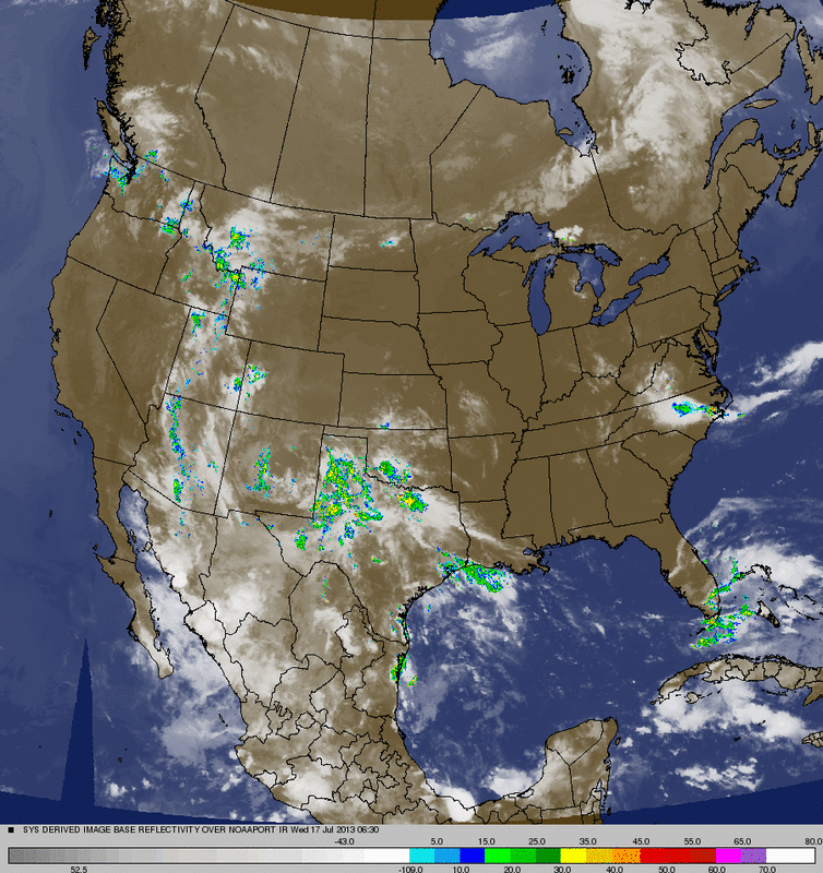
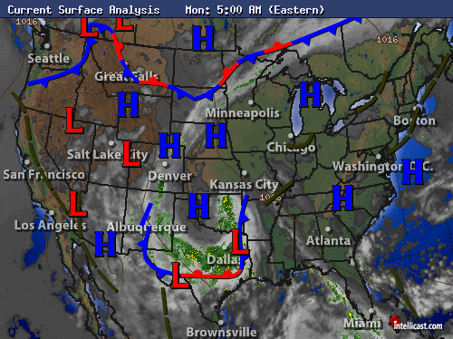
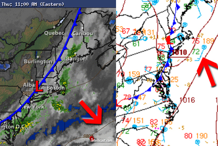
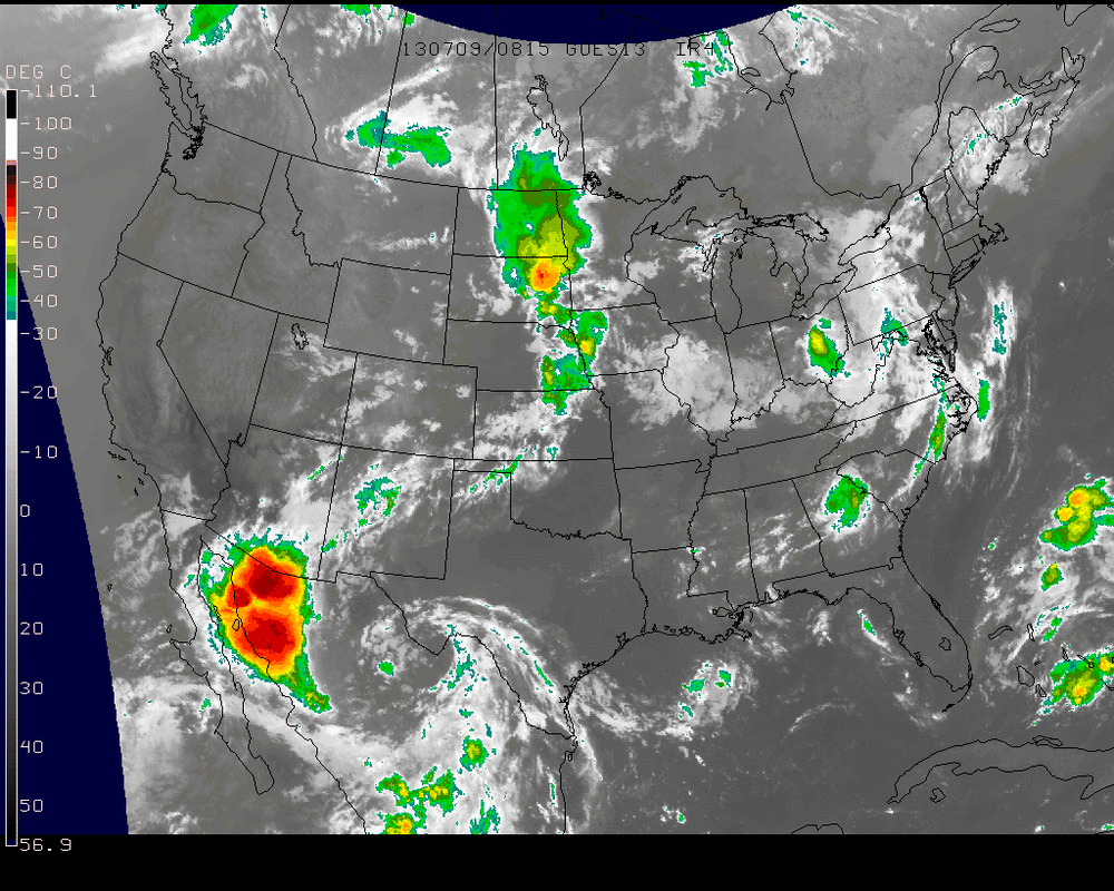
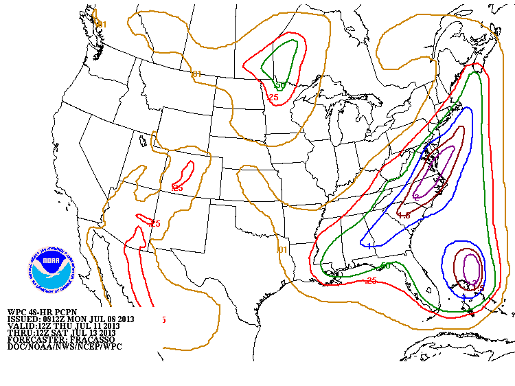
Satellite/rqadar combo map from this a.m. shows one system heading across Ohio Valley.....another cool front diving down thru Norther Rockies. Ohio Valley system brings unsettled weather to the East Thursday / Thursday nite. System in Rockies may bring a shower
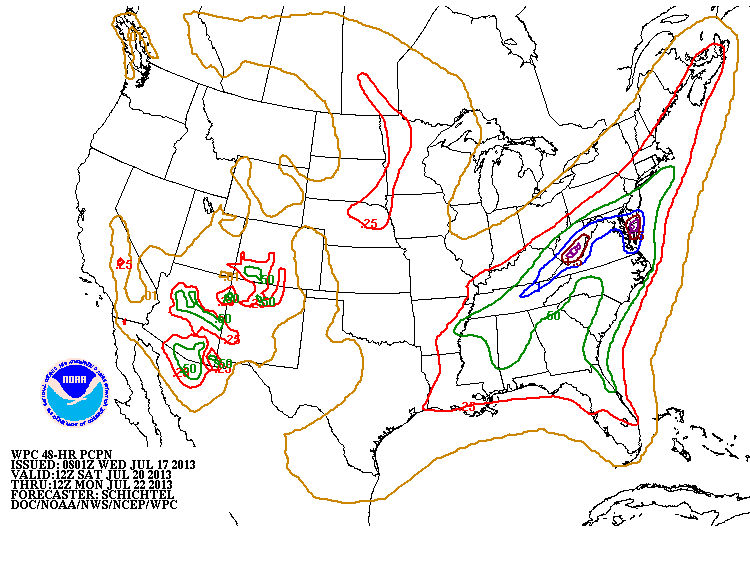
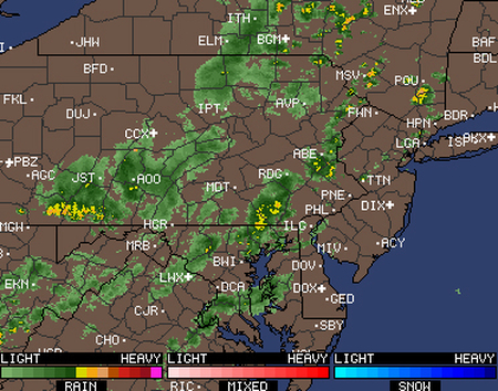
Saturday...especially Appalachians before cooler air moves in.
Saturday...especially Appalachians before cooler air moves in.
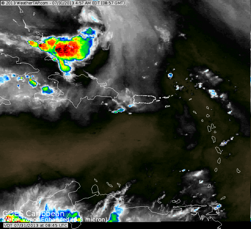
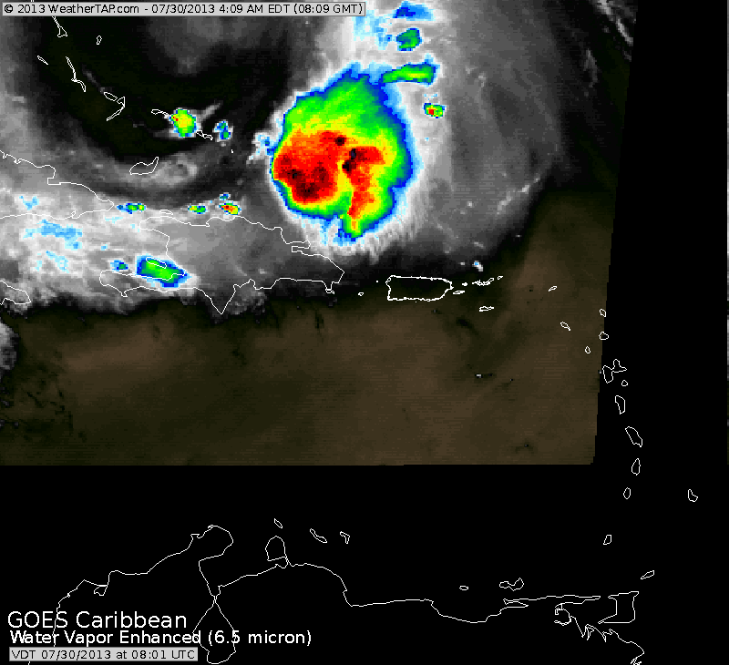
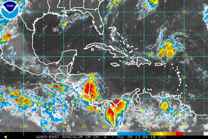
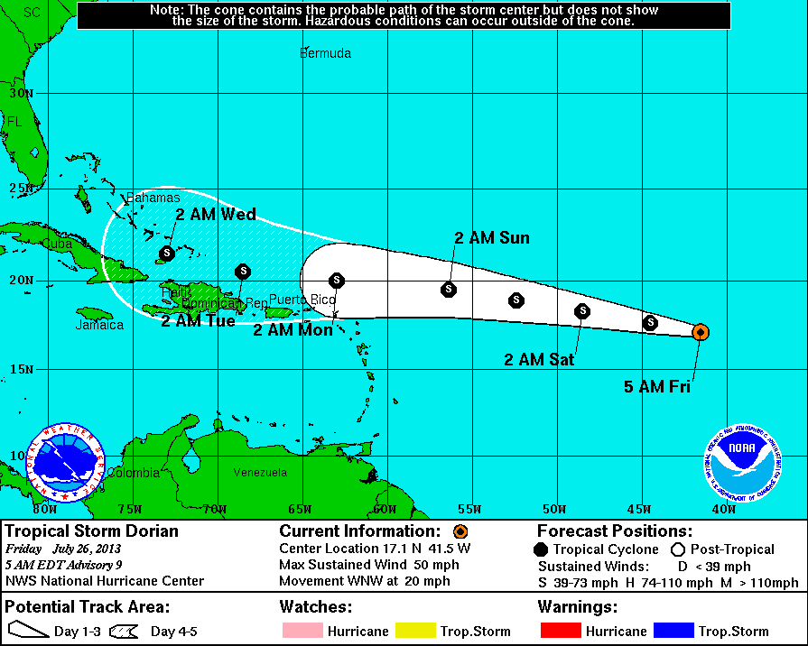
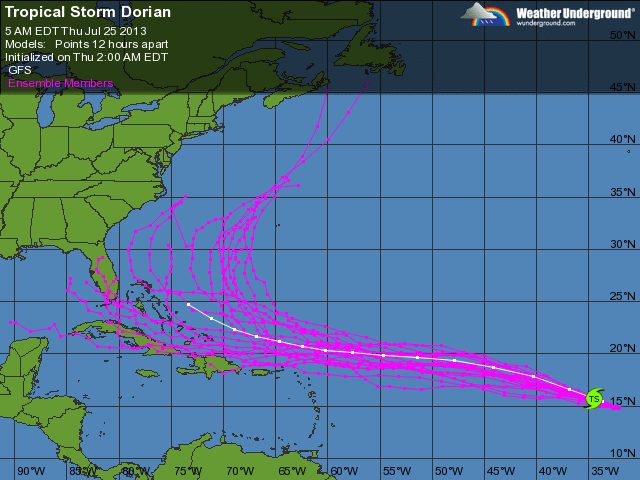
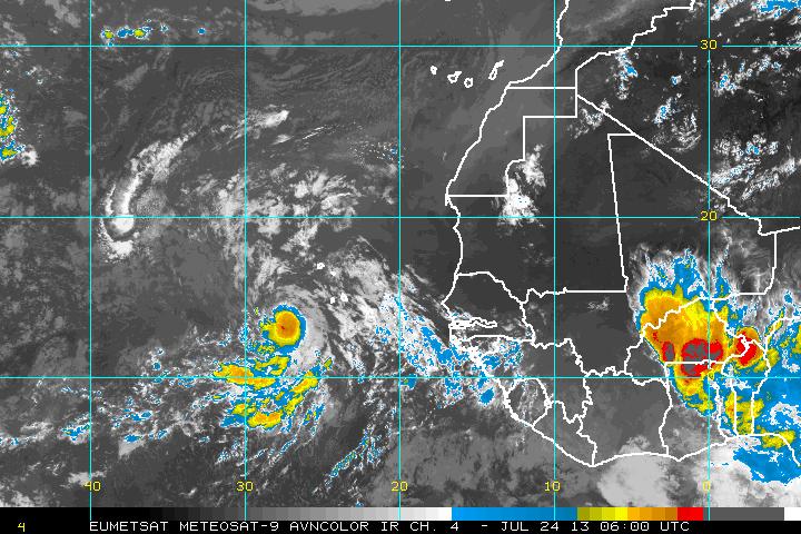
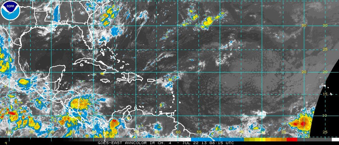
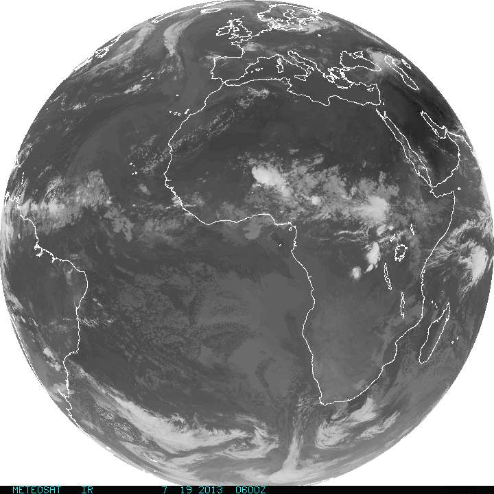
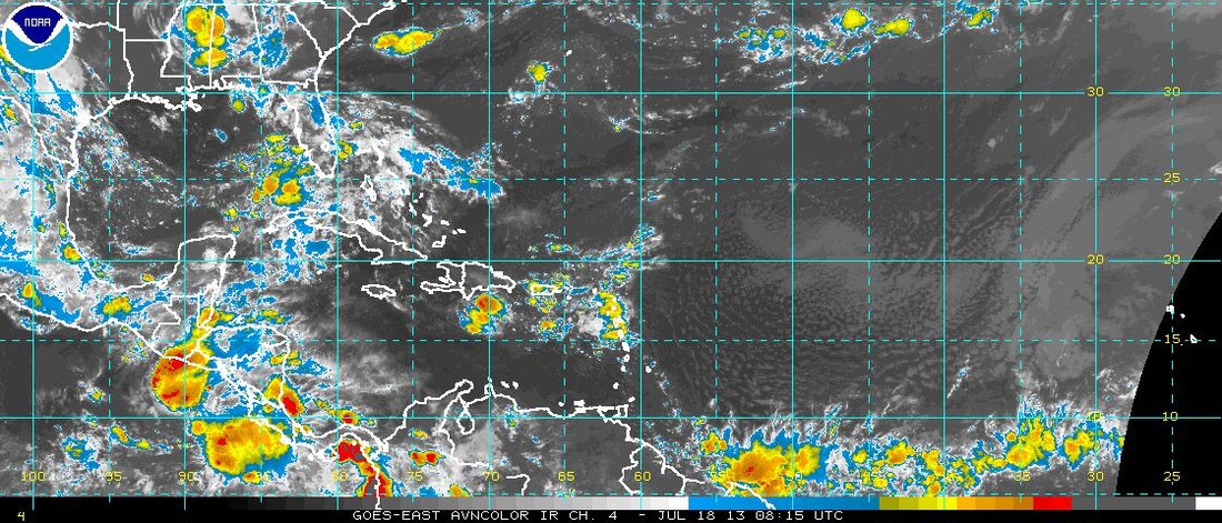
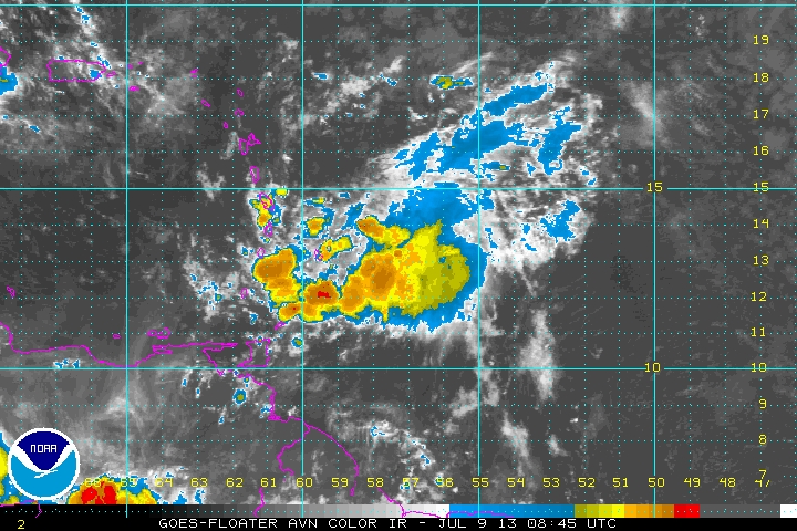
This is what's left to Dorian.....a mass of clouds and squalls in the Eastern Bahamas. Elsewhere across the Atlantic...all quiet. Later.


 RSS Feed
